Categories
Hiking

Cuernon

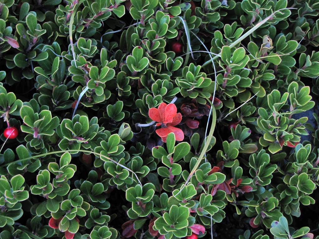
Today our destination is 2048m high Cuernon summit. The path begins some 8km from our home – in village of Somaniezo. We start to walk at 8.50am to Santa Lucia de Luz sanctuary. We follow the country road by the Aniezo stream. The temperature is just above zero and everywhere are the marks of the frost. We walk in shadow of the hill – it is cold. We are out of the shadow only after a two hours walk. Still it does not get much warmer. Instead we have a sun in front of us just above the path – it is hard to even lift the eyes. No chance to see the way ahead – except maybe the couple of meters.

When we climb to the open space we get the cold wind as well. We reach the sanctuary, but are not lucky enough to see the statue (they say it is 32cm long and called Santucha due to it’s size).

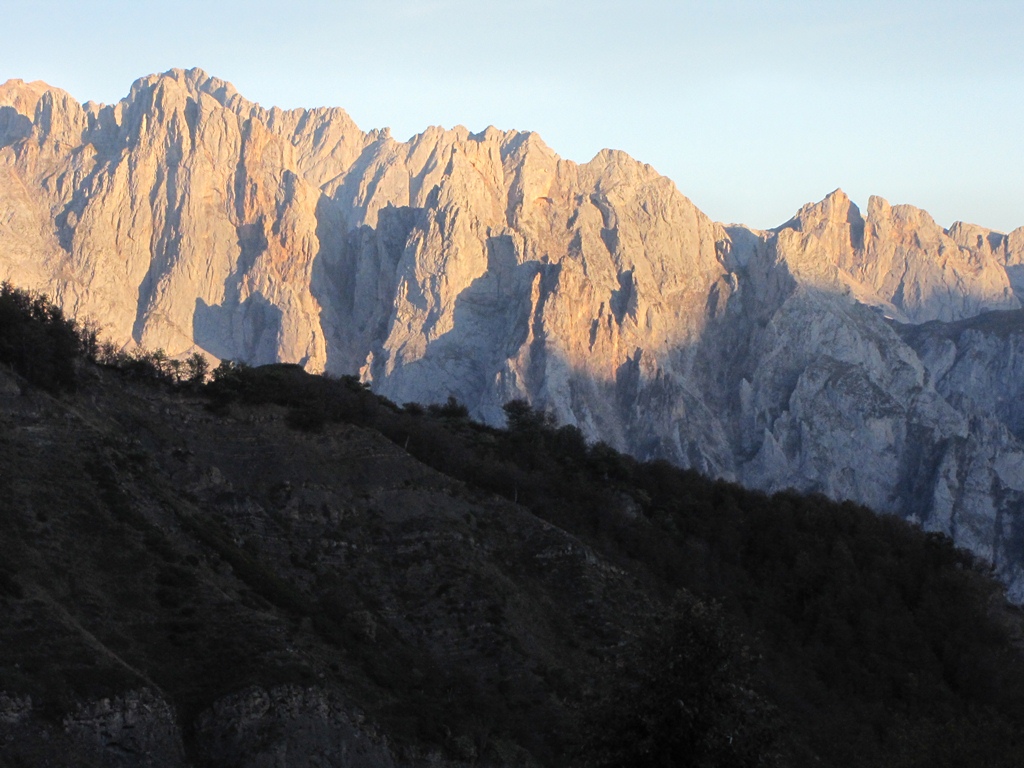
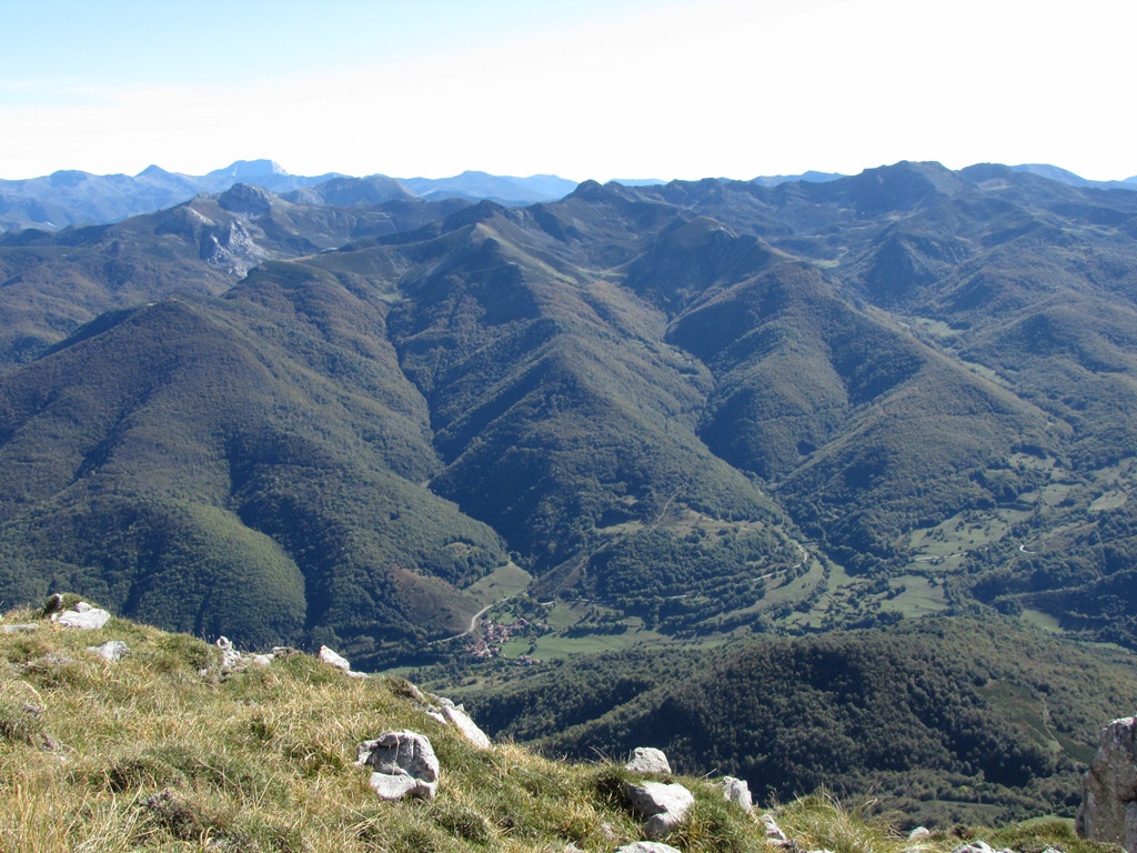
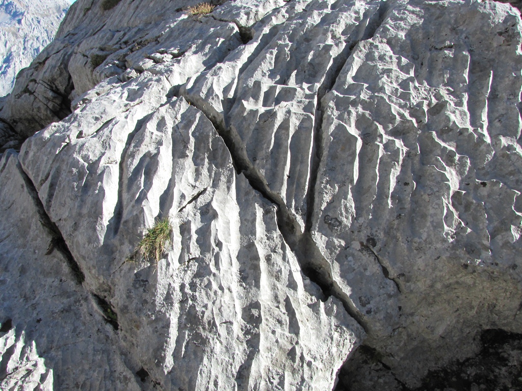
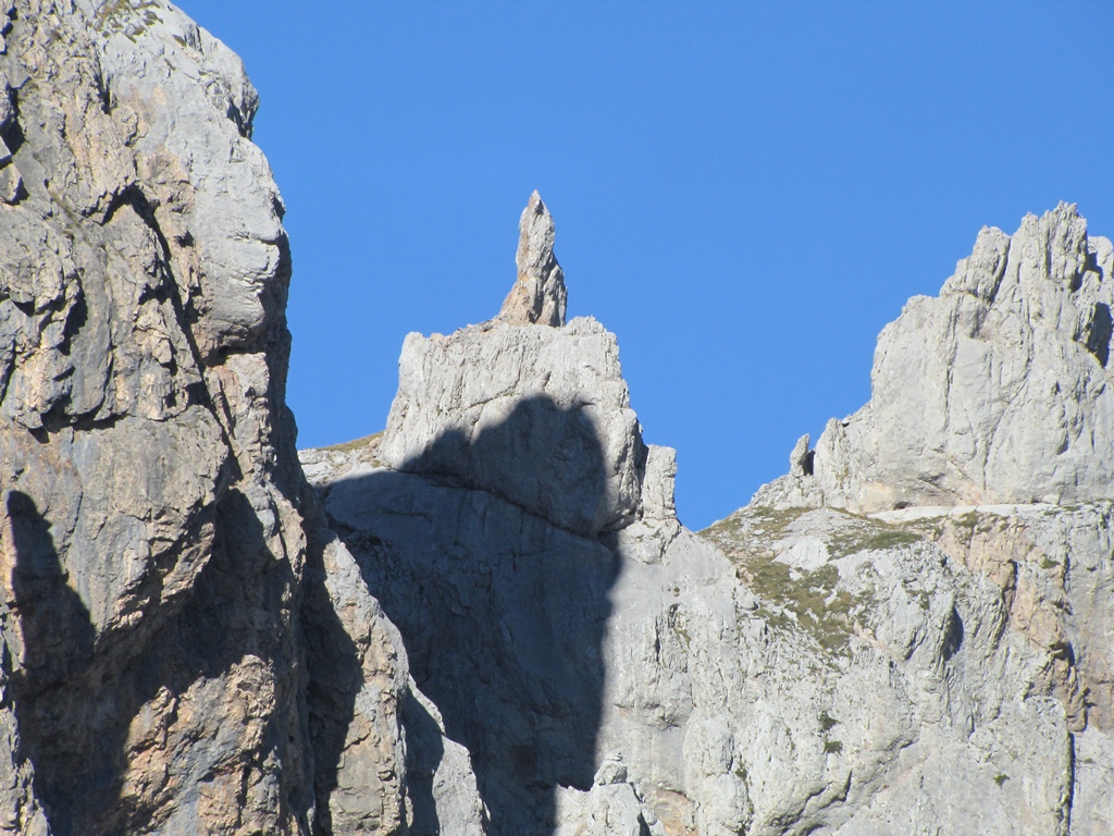
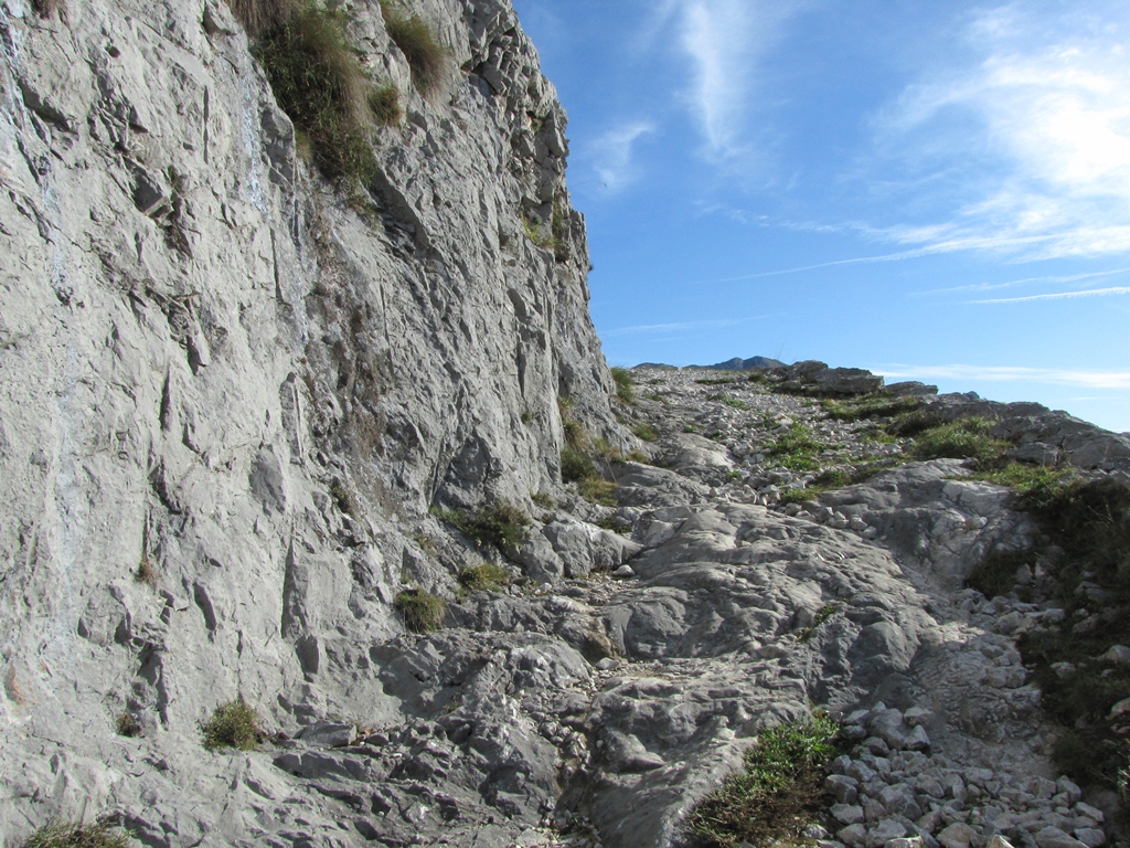
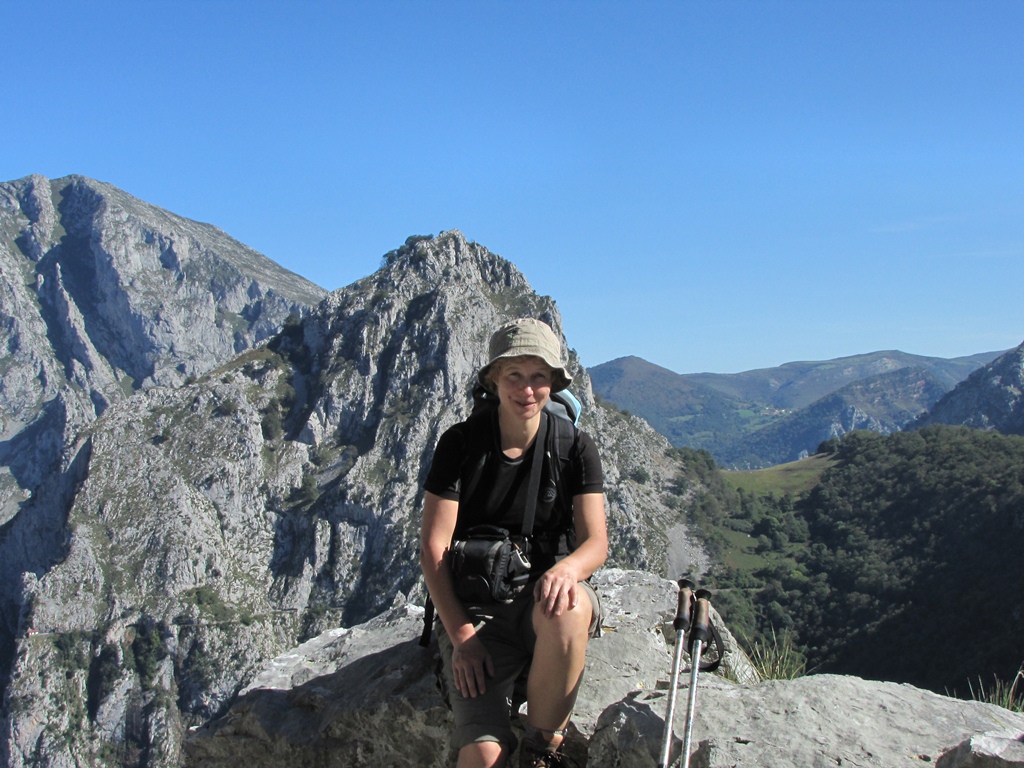
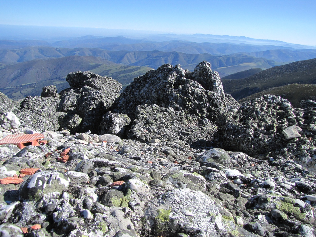
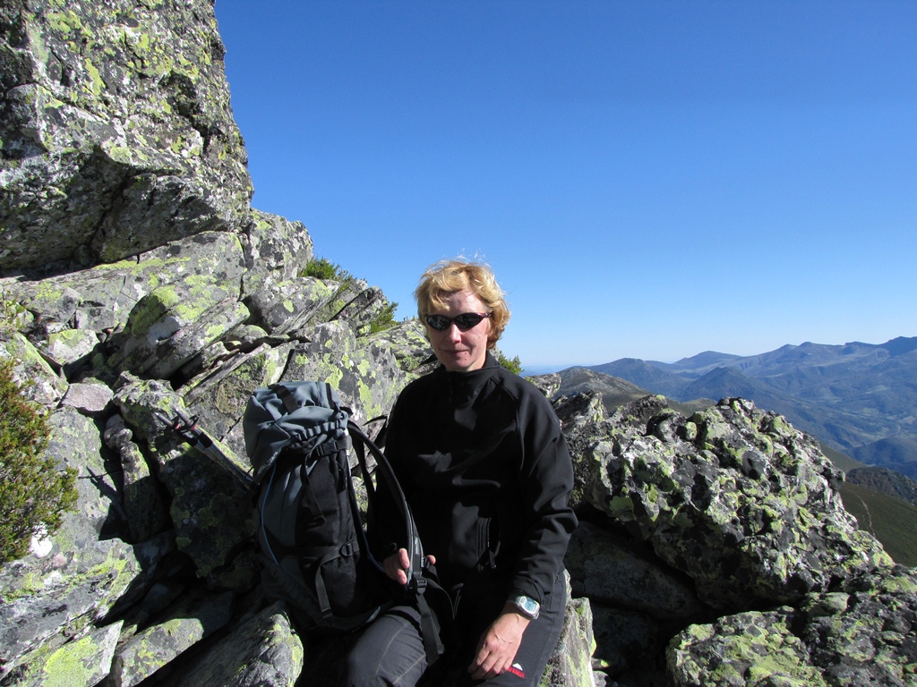
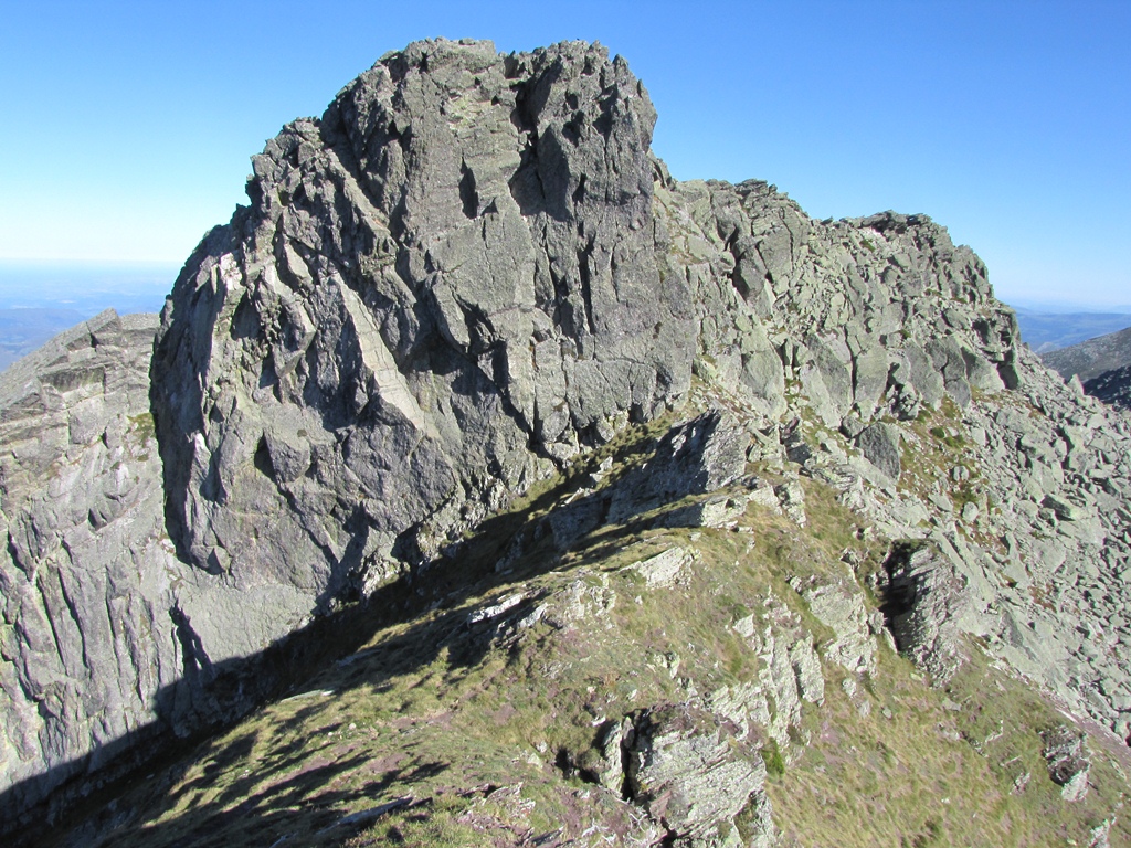
After having a short break we proceed up to meadows and then start to search for our summit. First we conquer a 1940m high summit. We see from there that the Cuernon is a sharp pile of rocks. We struggle up from one side then from other. Everywhere we get stuck in between large rocky stones. The last meters I proceed alone. I climb to the ridge but there are still about 50 meters up through the rocks. So I surrender.

The route takes 10 hours in total.

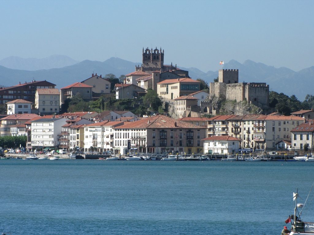
This is our last day in Picos de Europa. Tomorrow we go to Santander, then fly to Hahn where we stay overnight before to take the final flight to Riga.

To the start
Categories
Hiking

Cantabrian sea

We decide in favor of sea for today and drive shortest way through gorge Hermida to Uniquera. We cross the highway Santander-Oviedo near Uniquera and soon are at the sea. We walk the winding path though an empty camping place down to the sea. I take off the boots and paddle the cool seaside water. Meanwhile Ilze finds a grotto.

Next we drive to San Vicente de la Barquera. The town center is located on a peninsula formed by junction of two rivers near the sea. The center is linked to other parts of town by two magnificent bridges. It is low tide when we arrive – the ships and boats lie in sand near the water.

We start to explore the town from the river junction. On the front end of the peninsula is located the former royal palace (now museum), on the back end we see the cathedral. The town center is surrounded by walls. We enter the royal palace and explore the expositions. There is a splendid view from the top of the palace to the summits of Picos de Europa and to the sea. While we stroll the high high tide have started.

Next we drive over the East-most bridge and stop near the beach. We take a lunch near the sea and enjoy the sights across the river to the town center. Having done with the lunch we drive to another – much larger beach. We walk to the farther end of the beach and see there a couple of surfers and s lonely swimmer.

Further on we drive to Comillas. We did not manage to come closer to impressive university building standing on top of the hill near the sea – the renovation in progress there. Still we examine the building designed by Gaudi – El Capricho de Gaudi. After that we stroll the streets of the town center and find, in particular, Puerte de Moro (Moro gate). The gate has 3 gateways – for cars, for people and for birds. The legend tells that the gate is designed by Gaudi. He have walked by the sea one day and observed the birds. Hit by inspiration he have designed the gate in the sand by his stick.

We make another stop close to the sea near the University building. We walk to the shore and climb down to the water that slashes against rocks. Marvelous.

To the start
Next day
Categories
Hiking

Colado de Verde

Our destination is the 2400m high Tore Beremejo – one of the highest summits of the Western Massif. The track starts in Posada de Valdeon. We leave Frama early in the morning in a complete darkness and sky full of stars.

We start the route at 9.10am. This time we did not manage to find the path at once. We return to Posada de Valdeon to purchase another map. Even with the new map we deviate from the path again and struggle up through the diversity of bushes (including prickly ones). We loose about an hour there. Fortunately we find the path again and proceed uphill to the gap in the wall of cliffs high above the Posada de Valdeon. The gap is not visible from the village – the cliffs at the left side from the gap is some 100m closer to village than the right side. Behind the left side cliffs we follow the rocky path to the Colado de Pambucho. After taking a short break we proceed up to the 2000m high Colado de Verde (green pass). After the hours long climbing through rocks and stones the green pass is a surprise indeed – it is a  grassy elevation in between the cliffs. The view from the path to the West is stunning.

It is 4pm already. The sun cooks, we have run out of time and of vigor. The Torre Beremejo is behind the high summits in front of us. So we decide to surrender and start a way back. A major part of the time we go in shadow of the hills – this protects us from the hot sunbeams. At the foothill we find the path we started to ascend in the first place in the morning. Means – we were on the right track!. We descend through the slope full of gorgeous plants, pick the rose fruits and nibble them.

On a way back to Potes we startle a pair of roes – they make not much fuss and run a couple of meters deep into forest and stay there. When we are behind San Glorio pass it starts to darken quickly and we return in Frama in full darkness and sky full of stars.

Download file: Colado Verde.gpx
To the start
Next day
Categories
Hiking

Tresviso

We drive through gorge and village Hermida to Urdon. Urdon is a power plant near the junction of Urdon and Hermida river. Urdon river has carved the narrow gap in the wall of cliffs of gorge de Hermida. The power plant fills this gap leaving a room for a narrow mule path to the village of Tresviso 850m higher. Until only a few years ago Tresviso, was only accessible by this path. Villagers used donkeys to deliver cheeses to Potes. Today only the postman continues the daily journey to Tresviso.

We start to ascend by Urdon stream ar 9.10am. The temperature is about 13 Celsius. The gorge of Urdon is in shadow and we have to go an hour to get in the sun. While we have a short rest a tiny birdie lands near us, perhaps to get acquainted. It comes very close so Ilze could make some photos. Not easy task yet because birdie is moving non-stop.

We go on by the steep wall of cliffs until we reach Balkon de Pilatos. The views are exactly as from the balcony – to the hills at the opposite side of Urdon gorge. After a short walk from there we already catch the sight of Tresviso. Another hour of walk and we are there. The last section of the path is paved with reddish slabs. The cemetery neighbored by a basketball field greets us as we enter the village.

We stroll the narrow streets until we find a path to the hill above Tresviso and further to the neighboring village. After an hour walk the path gets extremely narrow. As we start to go by the wire rail suddenly the flock of sheep catches us running furiously followed by the shepherd dog. That happens so fast we even have no time to get frightened – the sheep notice us, turn aside and hide in a tiny place near the path. The doggie disappears as well.

After a short further walk we make a rest and then turn back to Tresviso and down to Urdon that we reach at 4pm.

On a way back we stop near village of Tama to explore the house of Picos de Europa. It is a contemporary building featuring cinema and exposition halls. We watch a short movie about Picos de Europa. The screen consists of two parts – below the vertical part is a sloping one. There is no text therefore we can understand everything. When done with the movie we stroll through the exposition halls. The exhibits are located everywhere – on walls, ceilings and floors. Some of them know to tell about themselves – on Spanish and English.

Download file: Tresviso.gpx
To the start
Next day
Categories
Hiking

Garganta del Cares

The destination today is the famous Garganta del Cares the narrow and deep gorge the Cares river has carved her way through the Central and Western Massif of the Picos de Europa. The 10km long tourist path goes up from Poncebos to village of Cain. The major part of the path is carved in a vertical wall of cliffs. It has a number of tunnels and wire-bridges.

It is cloudy and the gorge is covered by clouds. The first section of the path goes steep up – 40 minutes of walk takes us up to the highest point of the path – Los Coleos. Further on the path follows up and down the aqueduct carved in the rocks.

Starting the Los Coleos the path mainly is carved in the rocks. Below is an abyss and above – about 200m of a vertical wall of cliffs. The summits rising about 2km above the deep gorge are nearby. The last section of the path prior to Cain is the most interesting. There is a long tunnel, with window openings one after another.

The route book advised to avoid high season and weekends round the year because of popularity of the route. Today is Monday 12th October and still the path is full of people. We wonder what it looks like there at weekends in July or August.

Cain is a little mountain village. The road from Posada de Valdeon ends there. Cain is located in province of Kastilia-Leon (Poncebos – in Asturia). We stroll through streets of Cain and climb the hill behind the village. Up on the hill we have a short rest and then start our way down. It is sunny. We see goats – some of them dangerously close to the abyss.

Atceļā vēl apstājamies Arenas de Cabrales pilsētā.

To the start
Next day