Abries is located at the confluence of two streams – Le Guil and Torrent du Bouchet. Today we drive uphill by the Bouchet. First to village Le Roux then to even a smaller village Valpreveyre.
The path begins near Bouchet with and right there we have to cross it. In this time of year the river bed is almost dry – easy to step over the stream. It is obvious though that it is different during the spring.
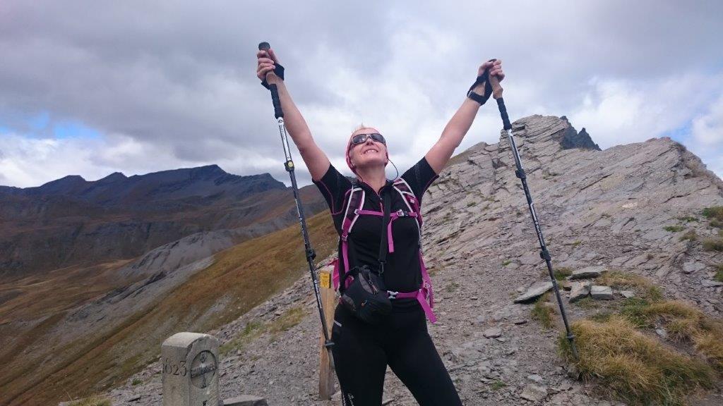
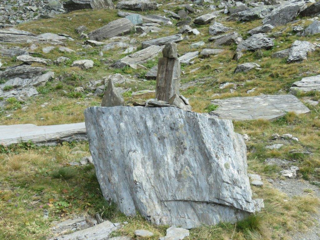
The path takes us uphill gradually through the larch forest then meadows and then to the junction. Several options to proceed, we select Col Bouchet, 2675m. The path still goes uphill through the rock scattered meadow. Its rather windy.
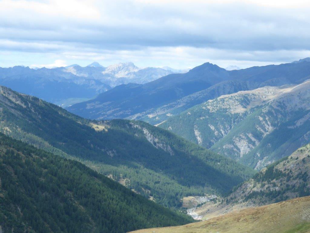
When on the Col Bouchet pass we se that sun shines on the Italian side. This is not usual as fogs (Nebia in Italian) are what one should expect in this region. The mountain refuge is next to the pass. We take a chance to sit outside it by the table and enjoy the Italian mountain views.
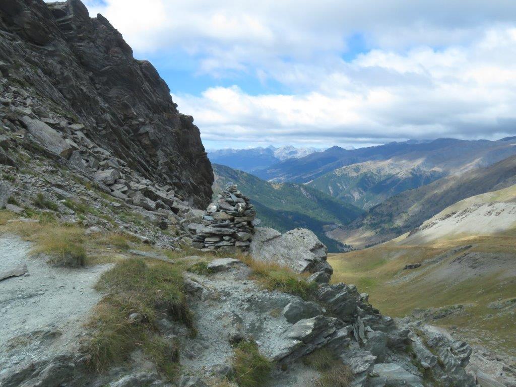
Neht we proceed by the Italian side of the mountain to Col de Malaure, 2580m. The road sign reads 1.5 hours to walk there. The track is rather tough though – down then up by the steep path to another pass, then down and up again. The path goes round the rocks at the other end so we notice the pass only when almost there.
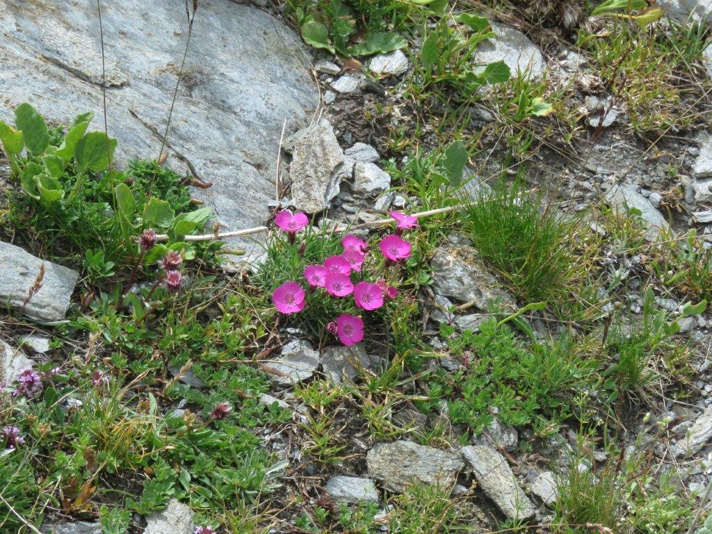
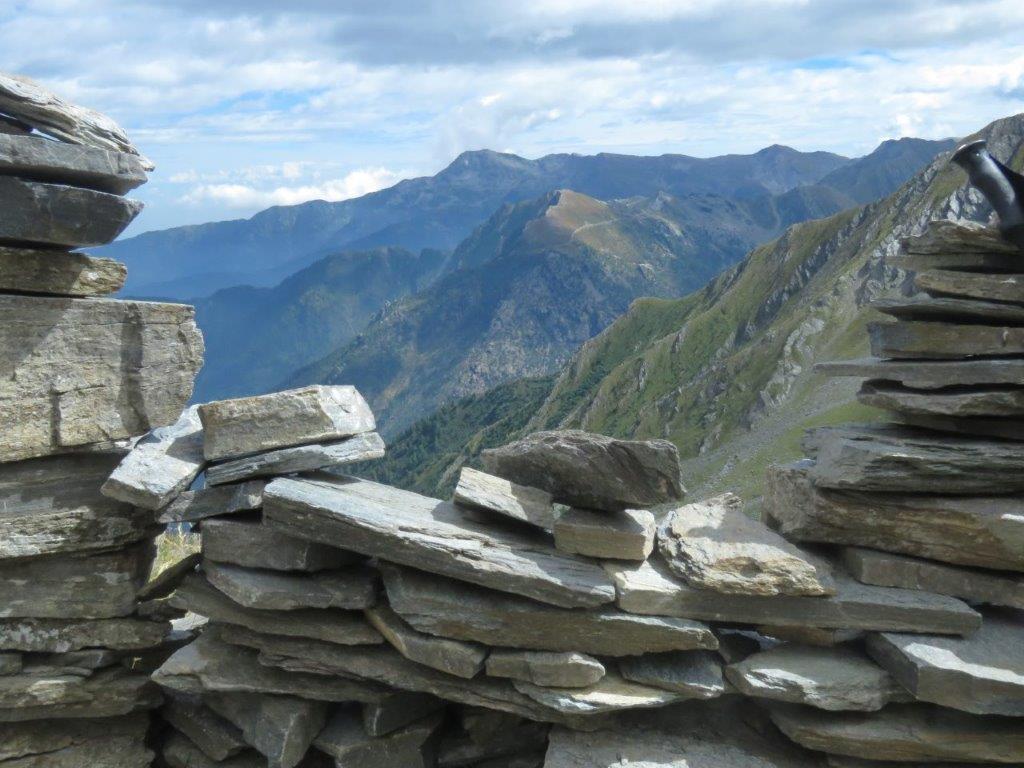
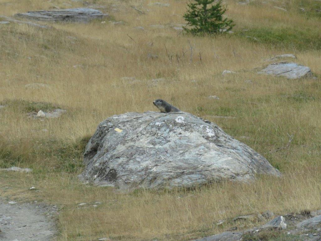
The pass meets us with a strong wind (the beautiful Italian stays in Italy). Luckily there is a tiny stone piled shelter near the pass – the meter high walls without a roof but with a bench inside and a window to enjoy the views. We stay here for a while and then descend on the French side. Marmots whistle all around (one sits by his cave really close to us. Birds twitter and flowers blossom.
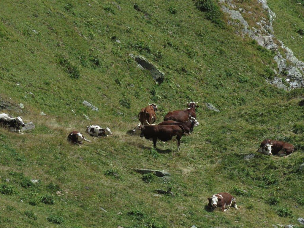
After a short downhill walk we are at the junction (the same we selected the track to the Bouchet). Then back to the larch forest and Valpreveyre.