Categories
Hiking

Hiking near Lake Sant Maurici

There are almost 200 lakes inside the National park of Aiguestortes i Estany de Sant Maurici and lake Sant Maurici is one of the most beautiful of them. One can reach there from Espot – by foot or by taxi. We have selected the second option. The taxis are waiting for us in the centre of Espot. Not ready to go yet because they need at least four passengers for this. Luckily enough another two hikers arrive soon and we move on to the lake.

The road is rocky and bumpy so the taxi drives slowly and carefully. It takes about an hour before we reach the lake. The driver reminds us that the last taxi back is at six and off he goes.

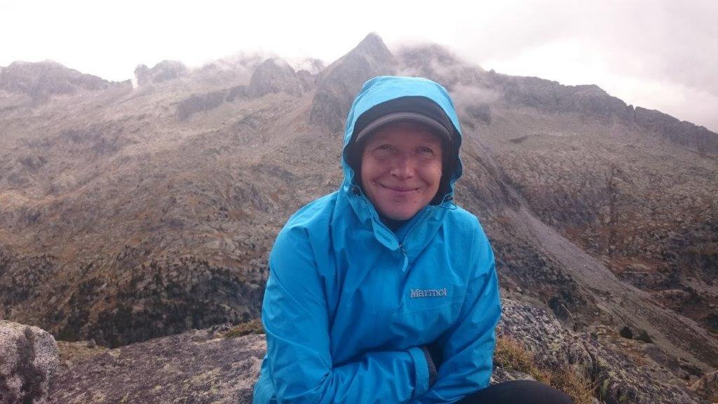
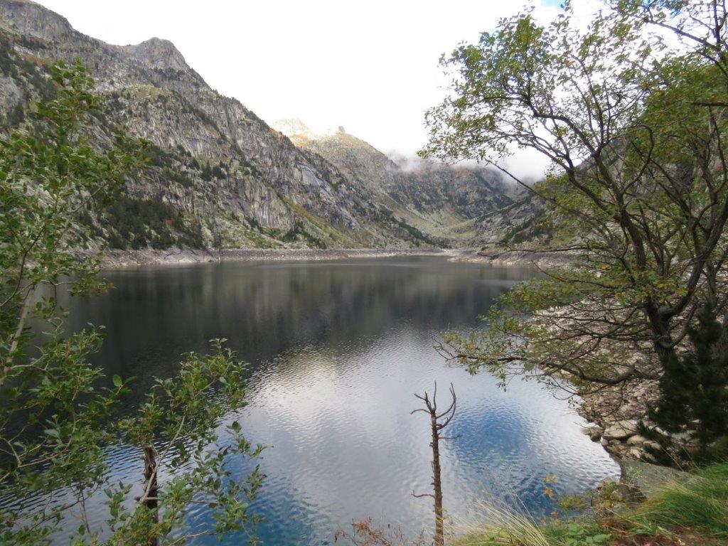
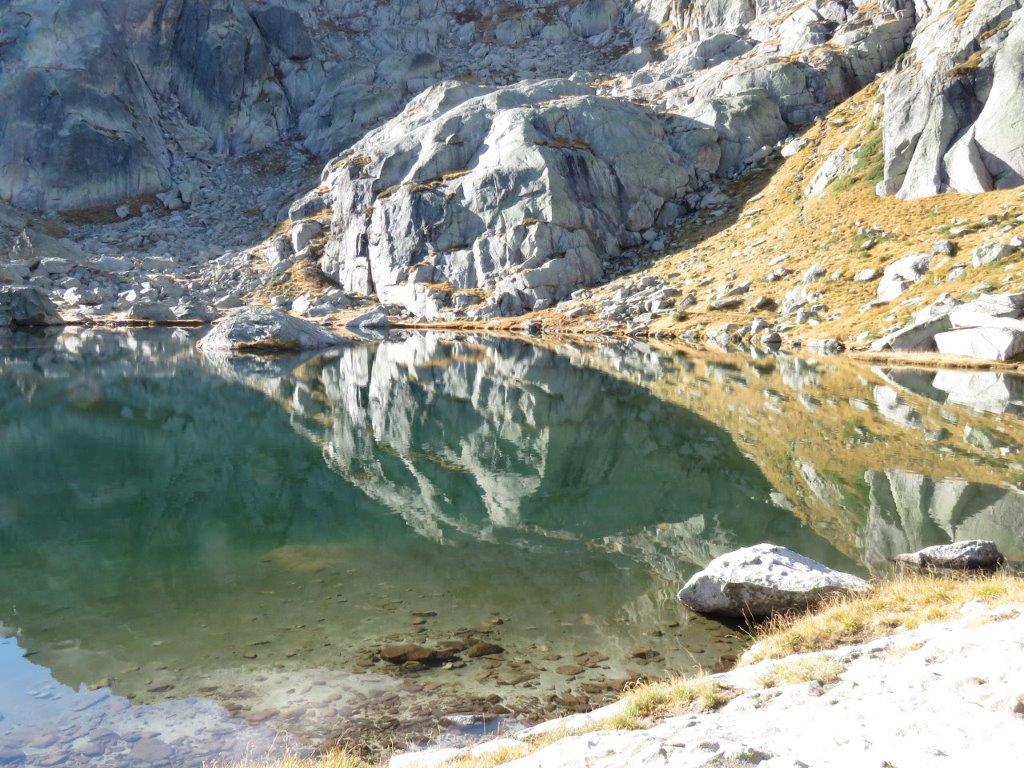
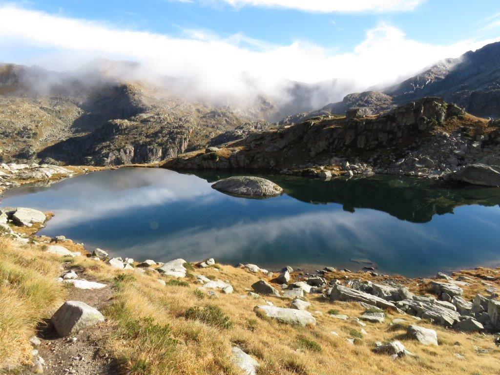
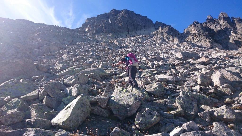
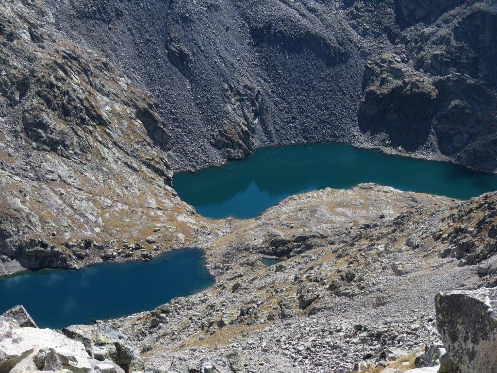
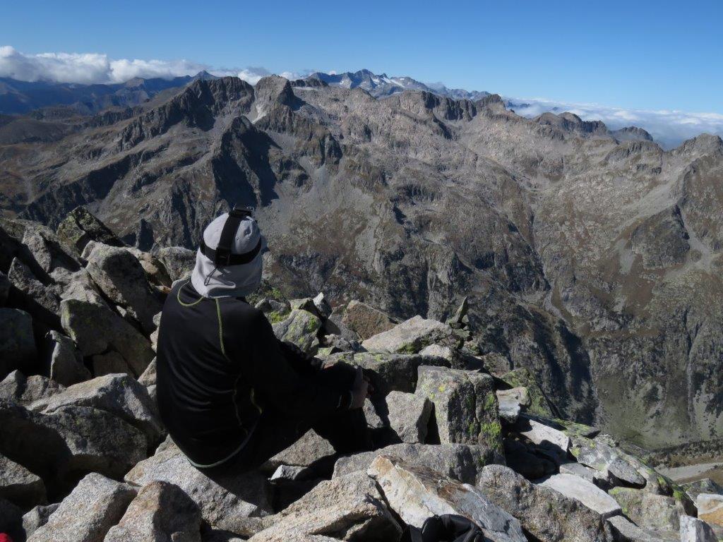
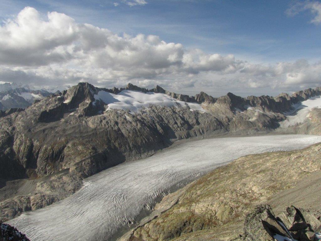
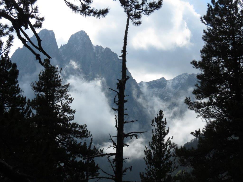
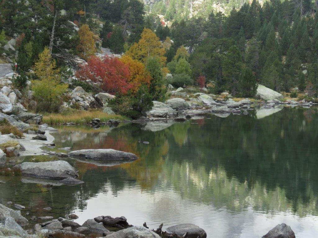
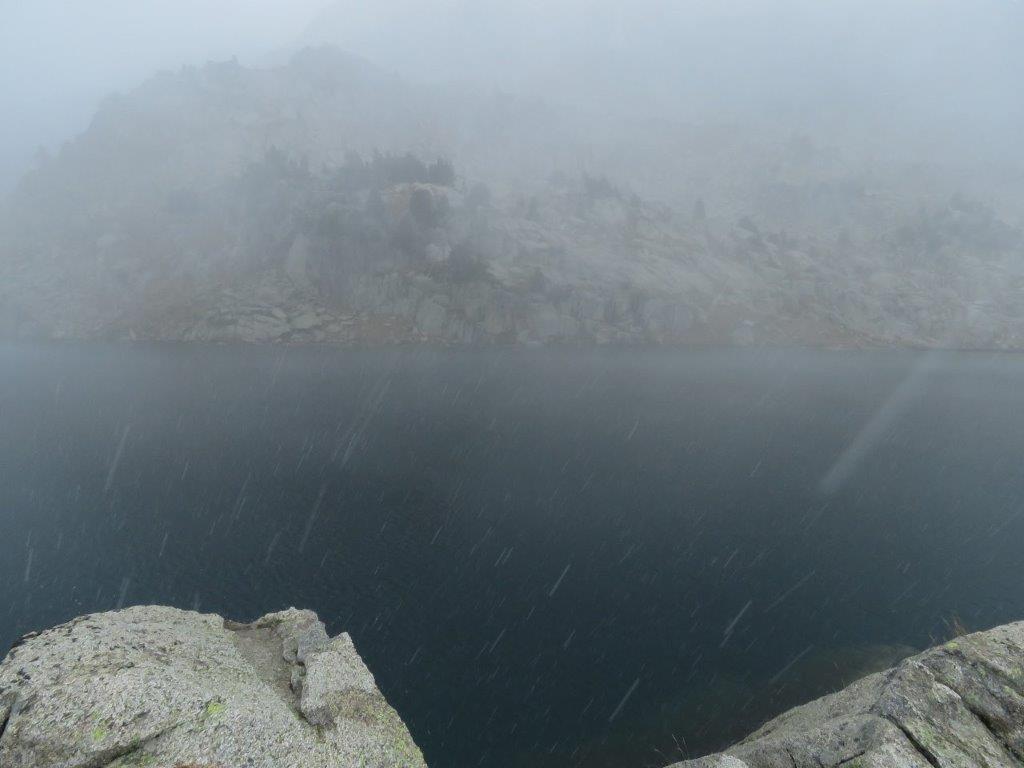
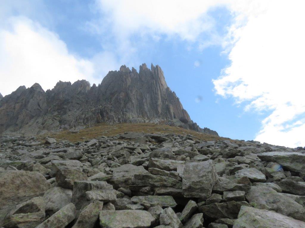
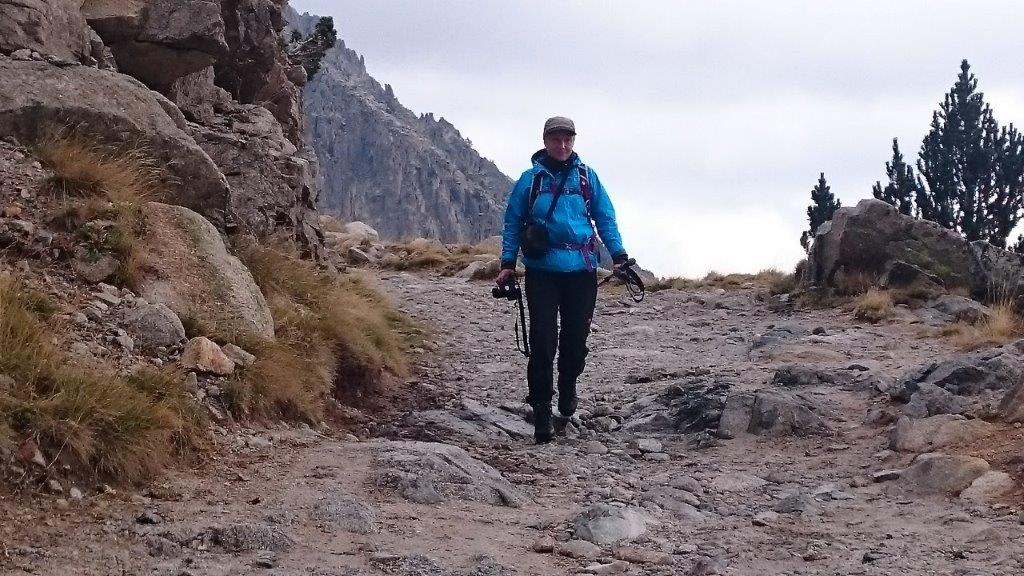
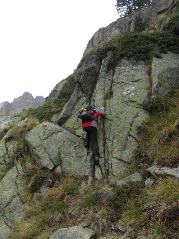
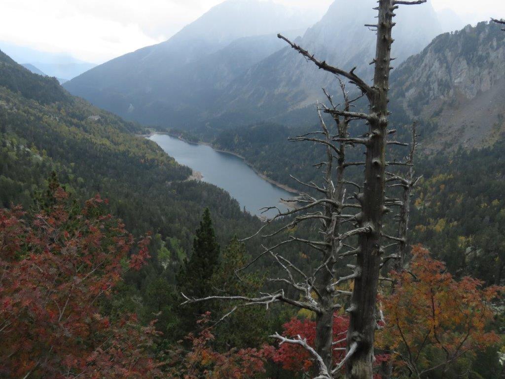
The track starts with a broad path that follows the lake border. A lot of people hike here usually during the hot season. Today nobody is here but us four taken here by the taxi. The path brings us to the other end of the lake and then starts to ascend by the slope. Soon we are at the Ratera waterfall and then move on to some other lakes higher. The weather changes all the time – sunny, then foggy, then hail comes down. When we reach the lake Gran d’Amitges it’s sunny again and we can enjoy the view at Las Agullas d’Amitges – two steep rocky summits.

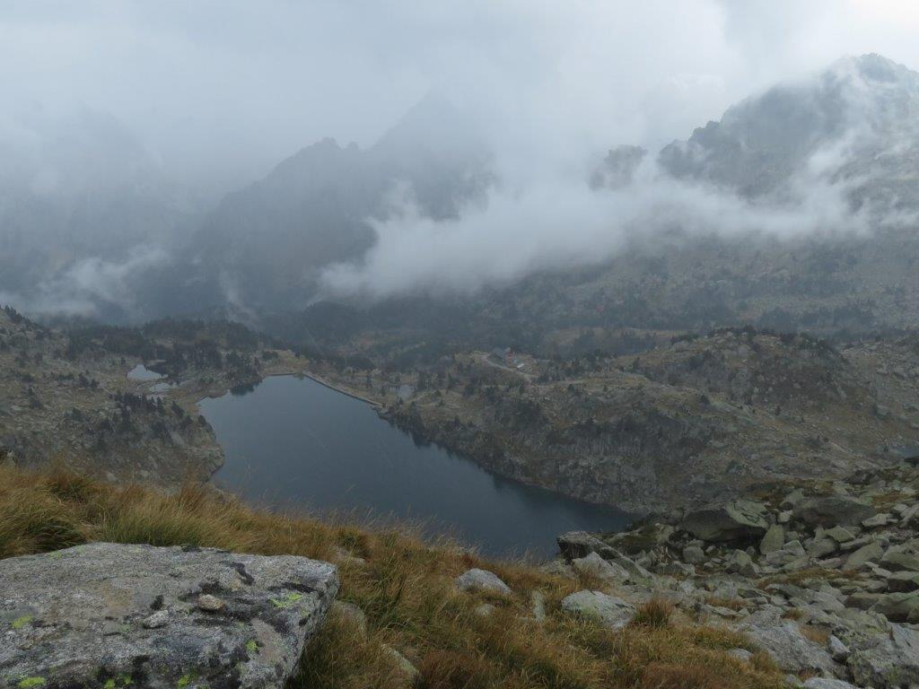
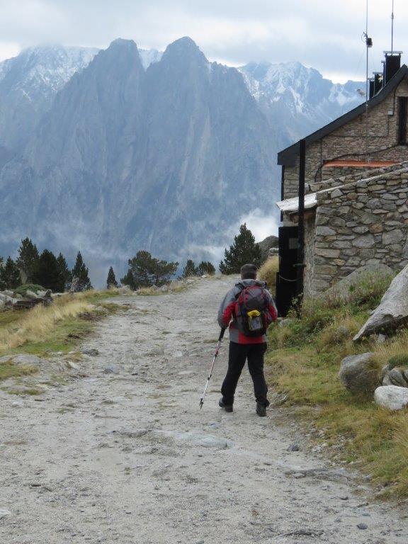
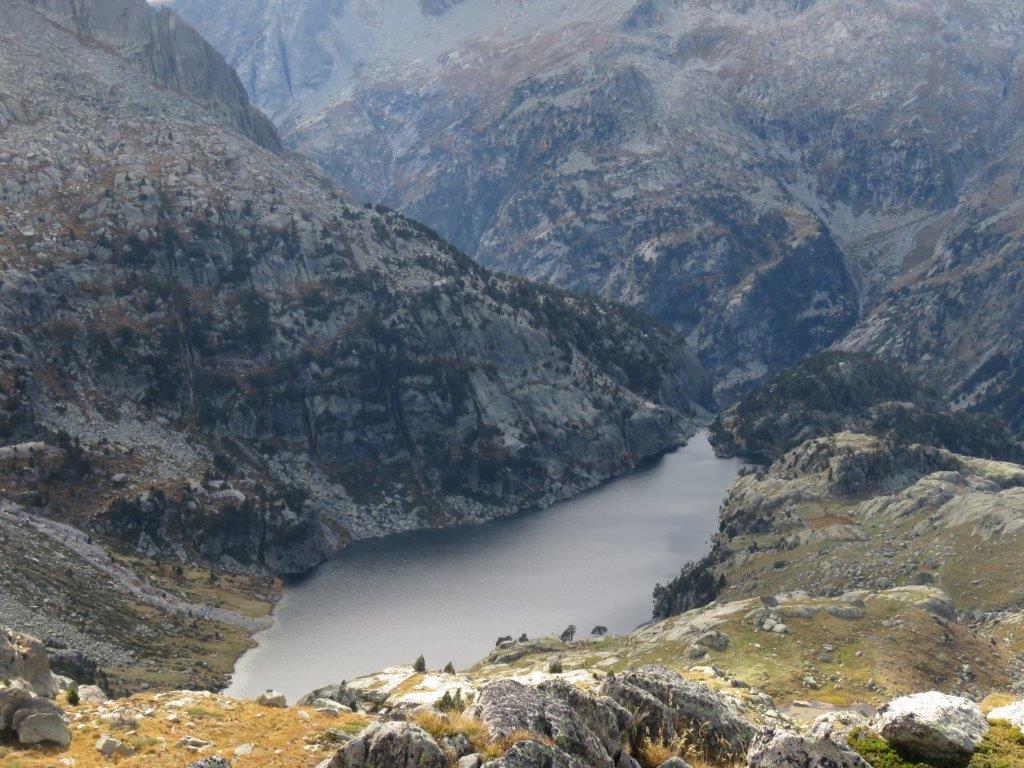
We select another path for a way back that takes us to the view point with a gorgeous view on the lake Sant Maurici. We are at half past five at the taxi stop. Two passengers are already there, three more join the company after us. Luckily the taxi that arrives has room enough for all.

We drop in in a small cafe in Espot for some tea and coffee and then drive to our hotel.

To the start
Next day
Categories
Hiking

Punta Alta de Comalesbienes

We had a single day track in mind for the penultimate day of our journey. When we arrive at the lake Presa de Cavallers the weather is sunny and the mountain views gorgeous – we decide to try staying at night in a mountain hut instead of driving 80km back to the hotel.

At the beggining the path follows the shore of the lake, soon after we have left the lake behind we drop the planned track for the another one that leads to the Ventosa i Calvell hut. We don’t know if the hut is still open so we feel delighted when noticing from the distance that the window shutters are open. To be on the safe side we drop in to ask – and yes, we can stay here and get some dinner, breakfast and the picnic (something to take away tomorrow).

We have a couple of hours before our dinner hence we decide to take a short hike to Travesani lake and summit. Watching the lake from above and the summit from below – the latter looks like one should have to be a mountain climber to get there. And we see a couple of them just doing that 🙂

They save power consumption and fuel for the furnace in the hut (the season is over, we are almost the only guests here). We keep close to the small oven which is the only one in the large dining room. They serve traditional Spanish onion soup and some other superior meals. When going off for the rest we take on every cloth we have and put two blankets on top. The forecast about freezing to death turns out to be wrong though.

We get our picnics 🙂 after the breakfast and take a departure. The plan B in case if we don’t manage to climb the 3014m high Punta Alta de Comalesbienes summit – is to go back the way we came yesterday. The plan B fades though gradually as we move on (the track this way grows longer 🙂 ).

We reach Estany de la Roca (i.e. rock lake – it has a rock in the middle indeed) by a comparatively easy track. The path gets steeper after the lake and brings us into the shade of the mountain. They have frozen soil and ice covered stones here. It happens somehow gradually and soon we understand we are on the steep damned slippery slope. We move forward as fast as snails because there is nothing we could cling to and slithering down does not look as an attractive endeavor at all. We both try some nevertheless – nothing more than a couple of scratches and torn trousers luckily.

Not sure if we should proceed to the summit, yet turning back and going down looks even more dangerous. Then we get the glimpse of sunlit rocks some twenty meters ahead and move on. Soon enough the dangerous part is left behind – the rest is just an ordinary rock climbing 🙂

The summit drowns in the sunshine, clouds, summits and lakes (we count more than ten) all around. We enjoy plenty of this and then down we go by the opposite slope. No surprises there apart from the descend being longer and tougher then we might remember from the last time we were here. In three and a half hours we are at the parking place.

To the start
Categories
Hiking

Klein Furkahorn

We’re driving to Chur, which takes us back across two mountain passes. Our plan goes something like this – we make our way up the Furka pass and we take a little walk in the mountains. I have found the Klein Furkahorn peak, which is 3026m in height and looks like its right nearby the road. The climb isn’t too tough, since the pass is almost 2500m high. We are not aware about the possible difficulties of the climb, so we will observe it on the spot – we’ll go as far as we can.

Categories
Hiking Nordic Walking

Jeizinen – Moiry

The mountain run/walk happened on October 19th Canton du Valais located, Southern Switzerland. The event is a traditional one – organized since 2001.

Categories
Hiking

Rellseck – Valais

We walk uphill the opposite side of Montafon valley to the Bartolomberg village church (in the dark it’s well lit and can be observed through Mansaura window). The backs of the chairs are at oblique angle in the church. Makes kneeling more comfortable than seating.