Categories
Hiking

Pic de Sagette

Waking up at 7am and cleaning our apartments. Today we drive once more to lake Fabreges and leave the car in parking place near Artouste cable car where we started a hike to  Pic du Lurien recently. The plan is to walk uphill by the mountain-biker’s path to the Pic de Sagette (2030m). We thought it will be an easy walk – but the reality is a little bit different. I would rather not drive by that kind of path!

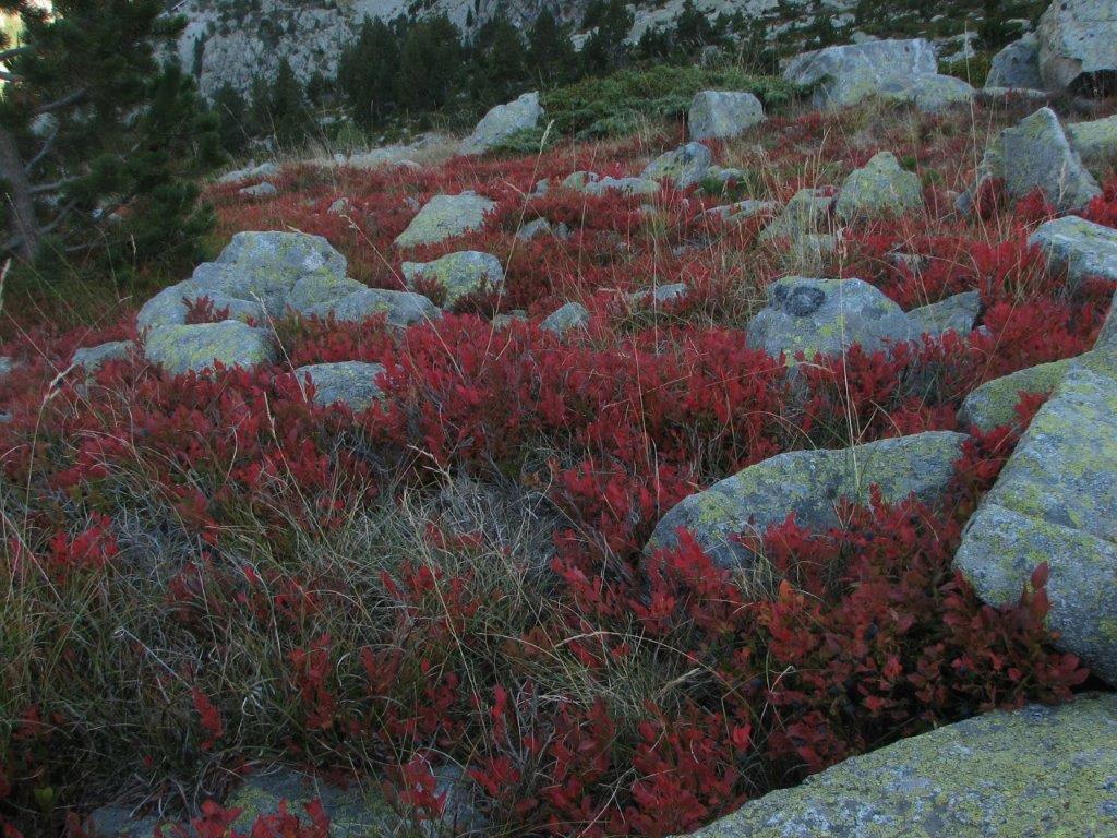
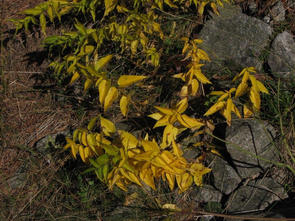
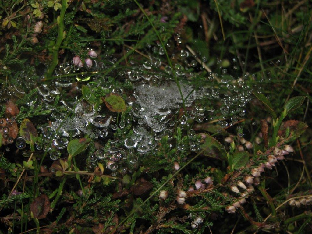
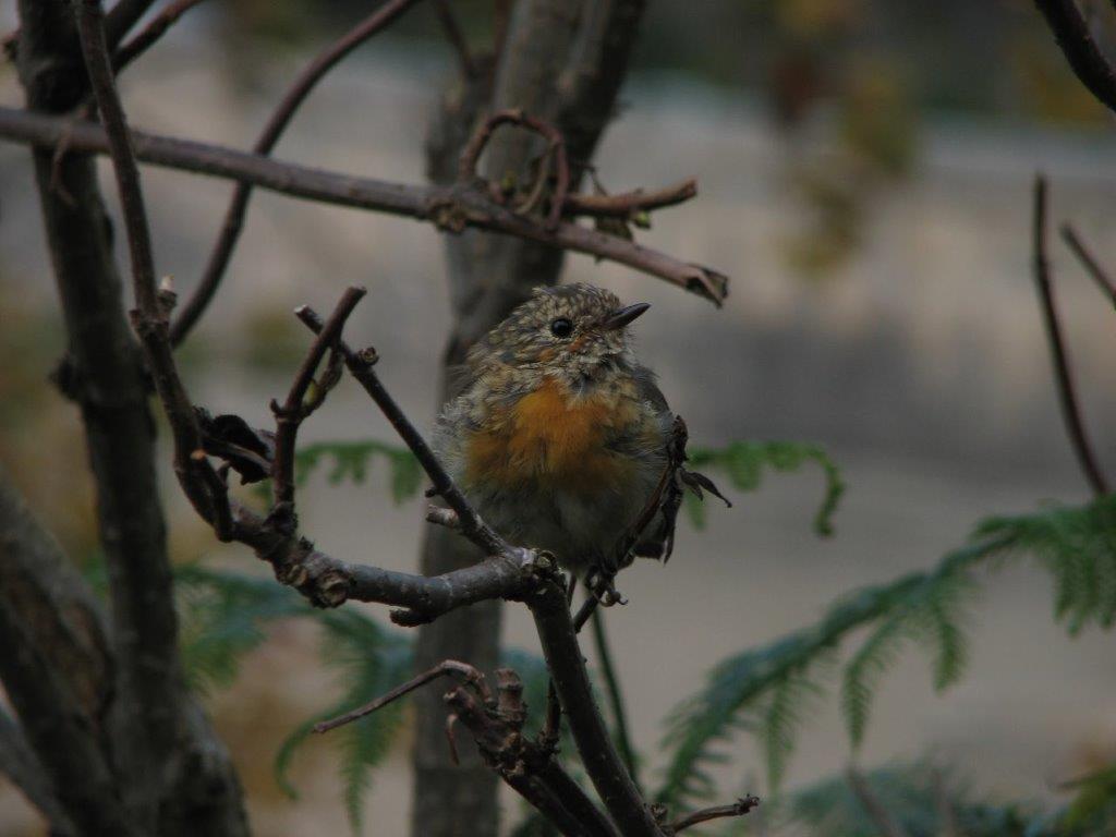
The weather is sunny but not particularly warm (8 degrees at the parking place). We nibble the blackberries and billberries. A birdie in a bush apparently enjoys beeing photographed. The path mainly goes through the wood. We meet several whimpering dogs runing downhill. Seems like they have been taken uphill and then released to run down. But that’s only our interpretation.

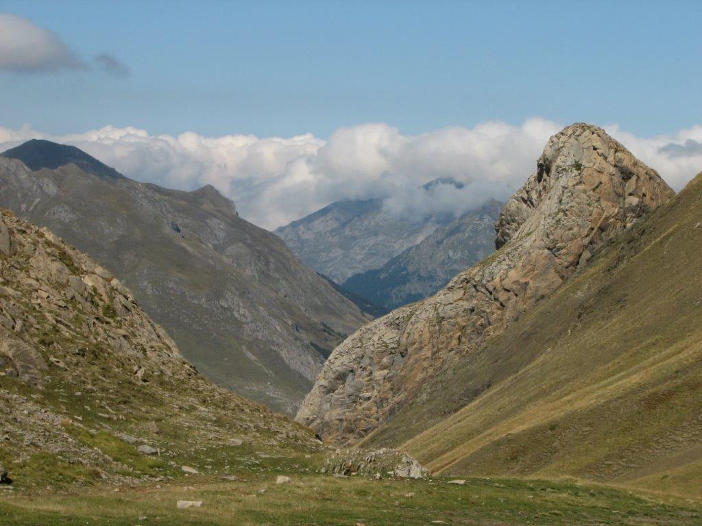
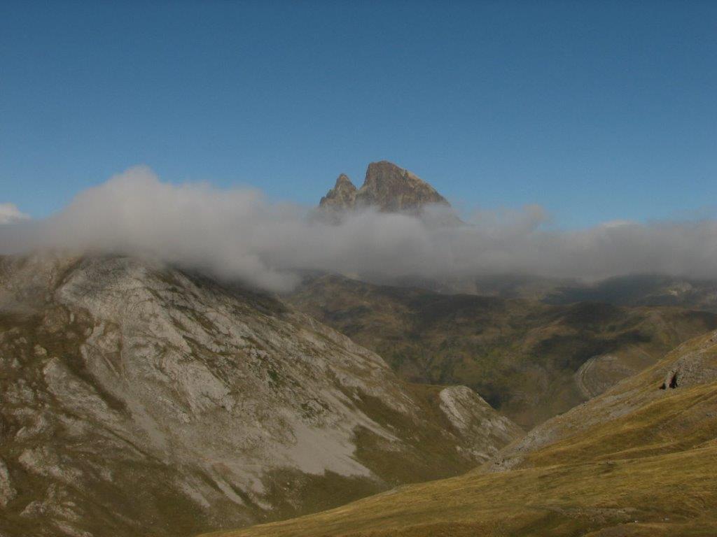
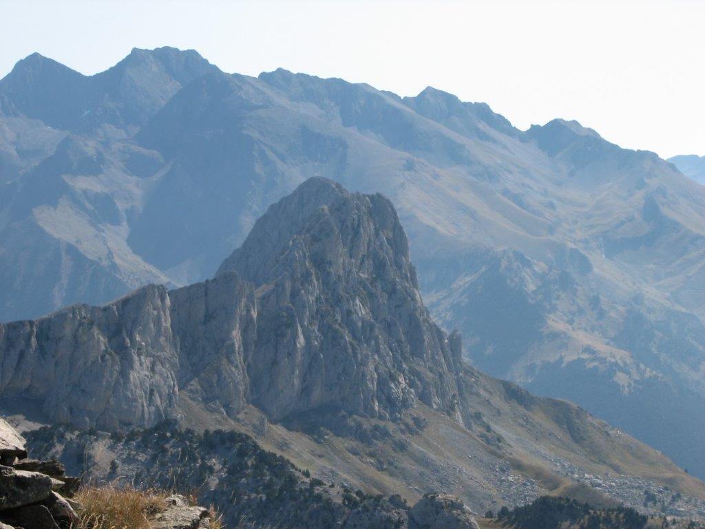
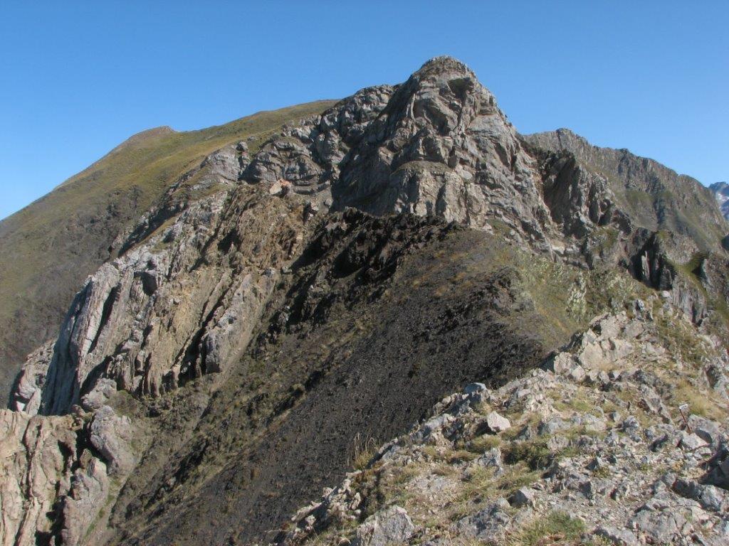
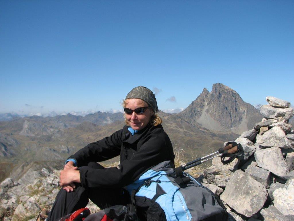
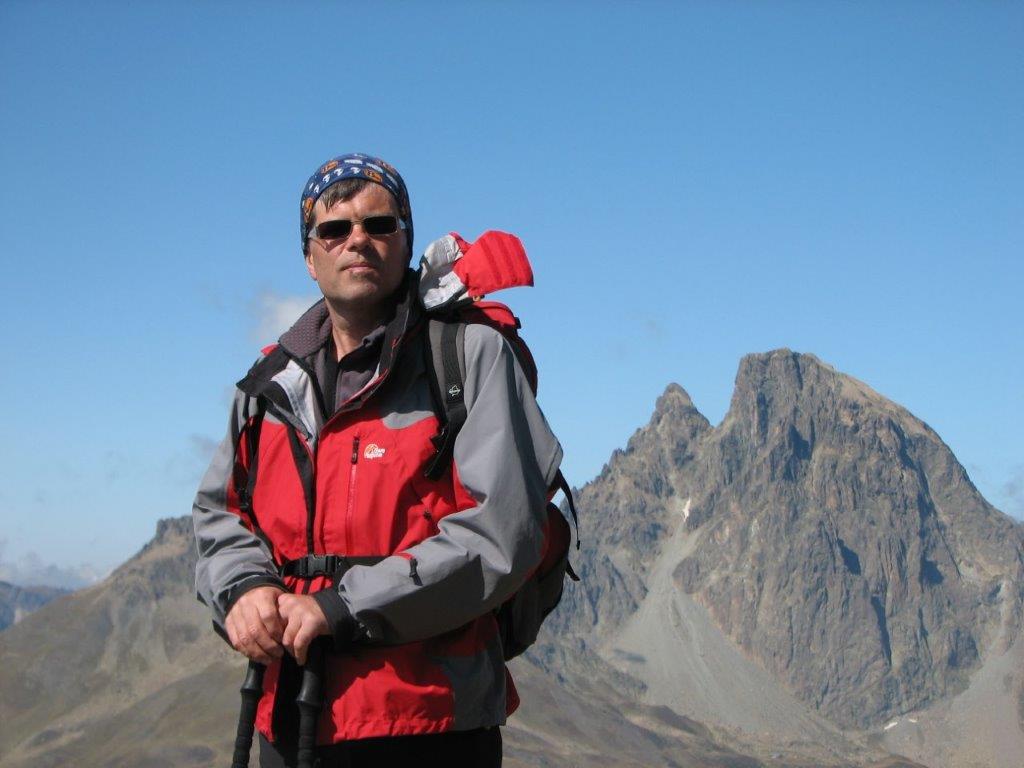
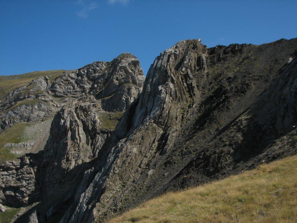
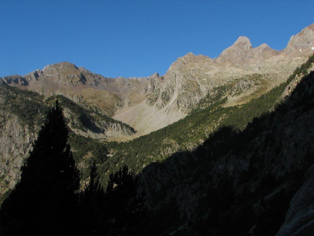
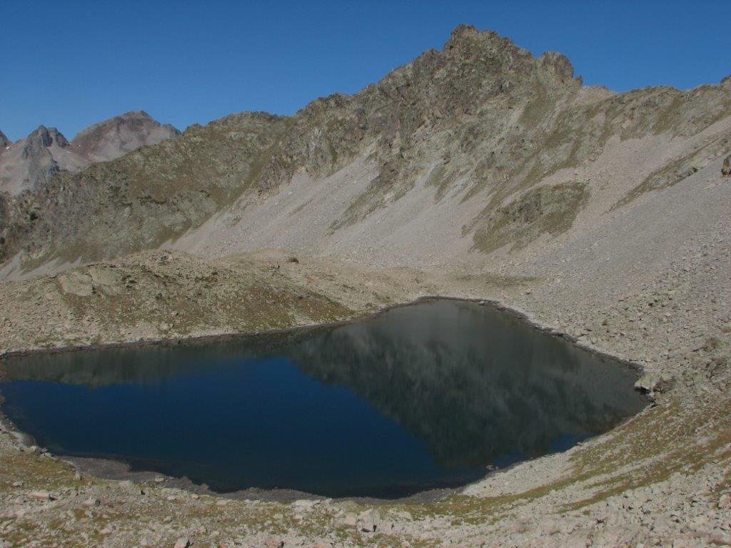
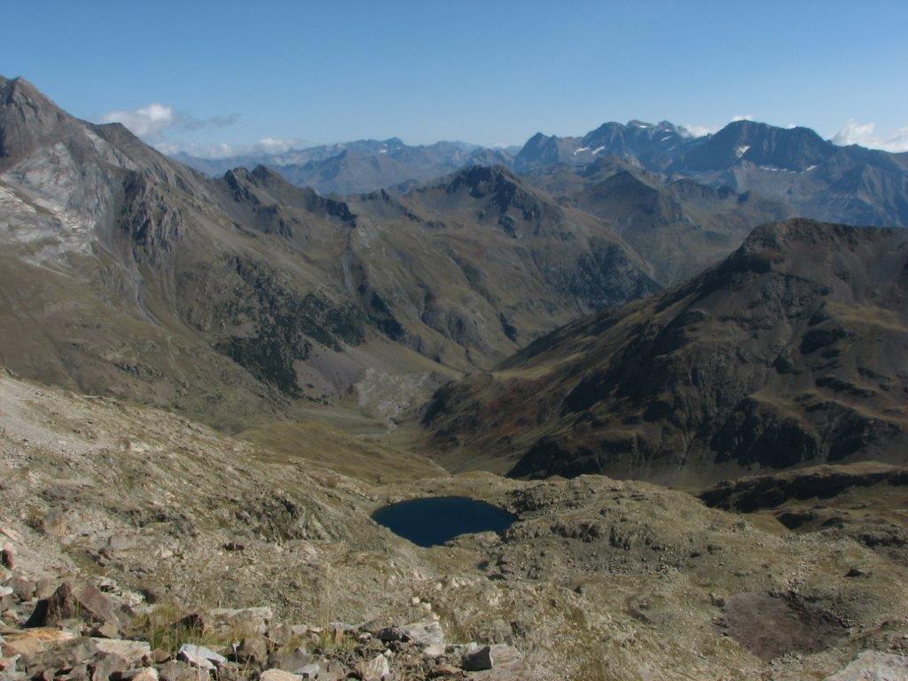
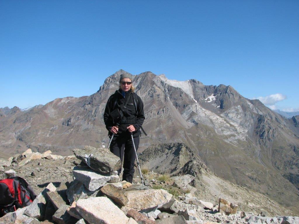
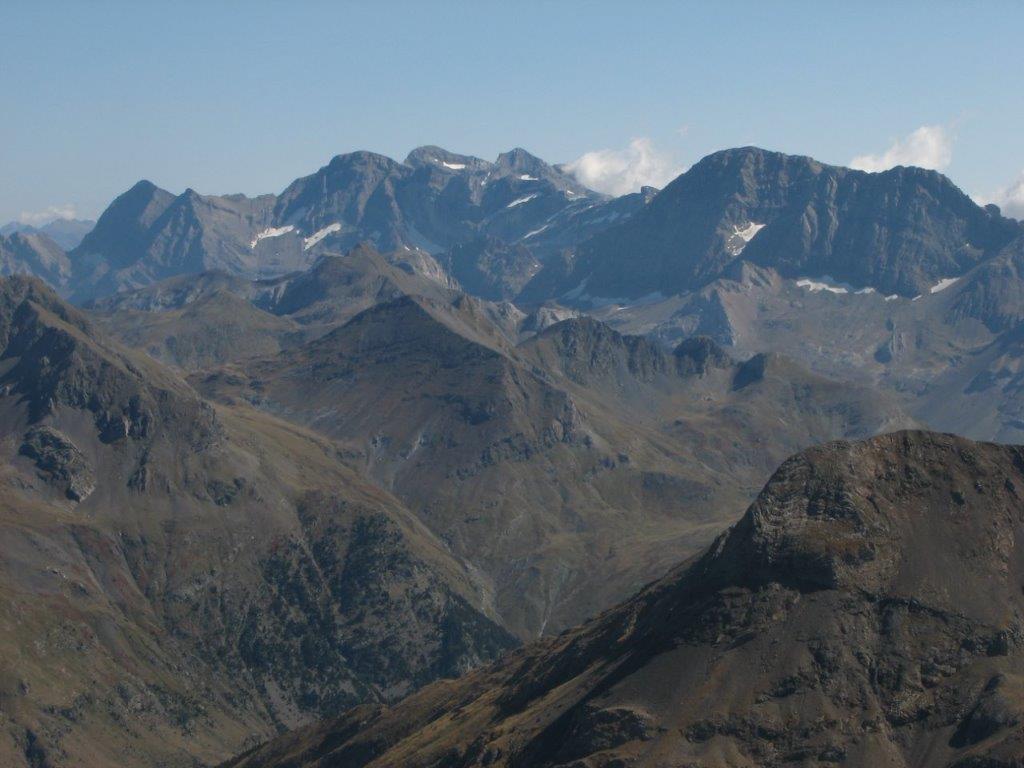
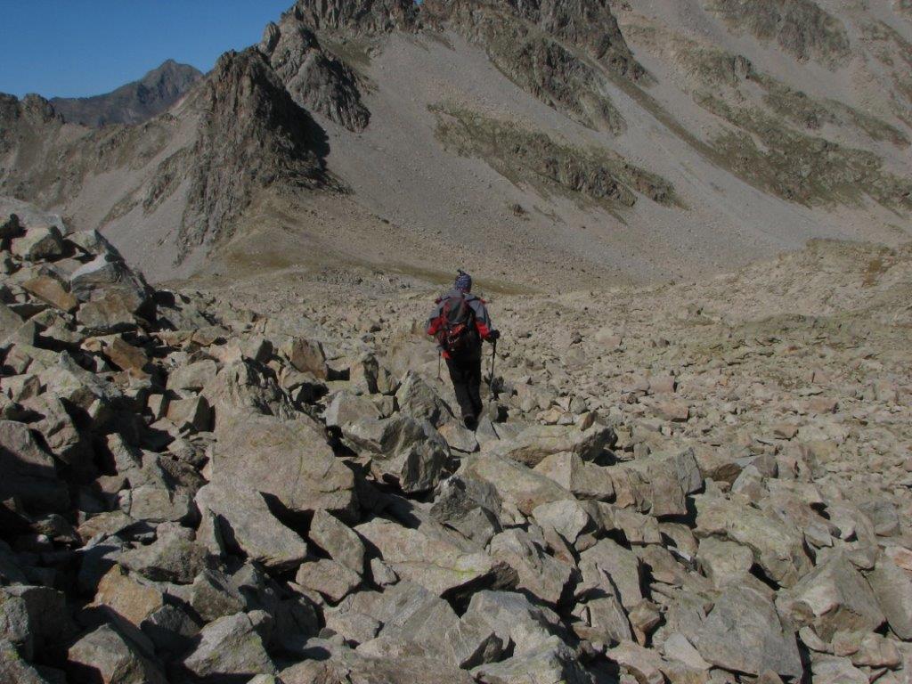
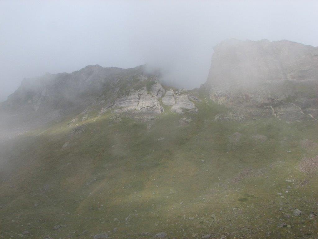
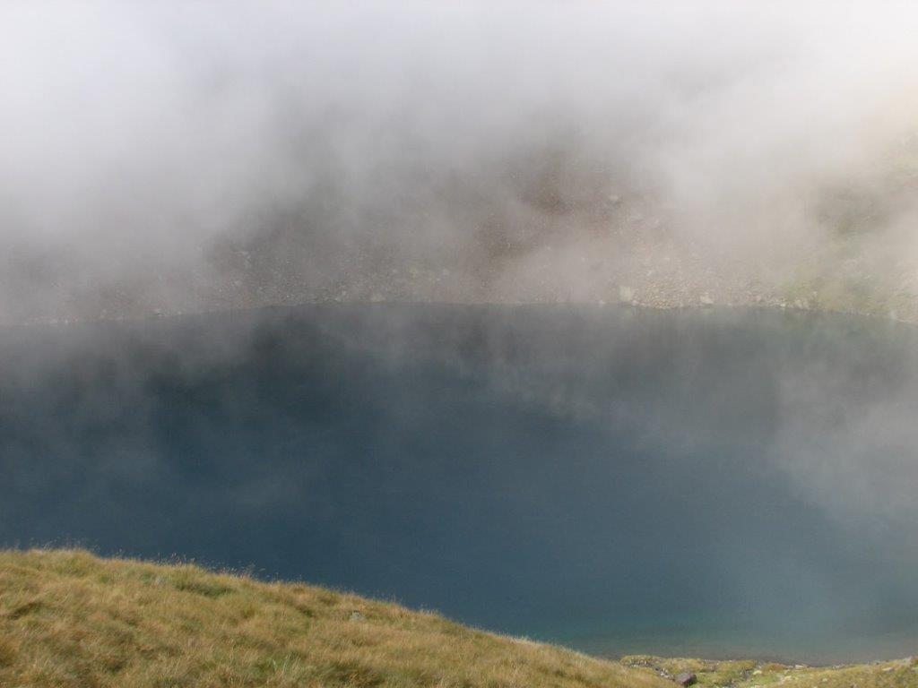
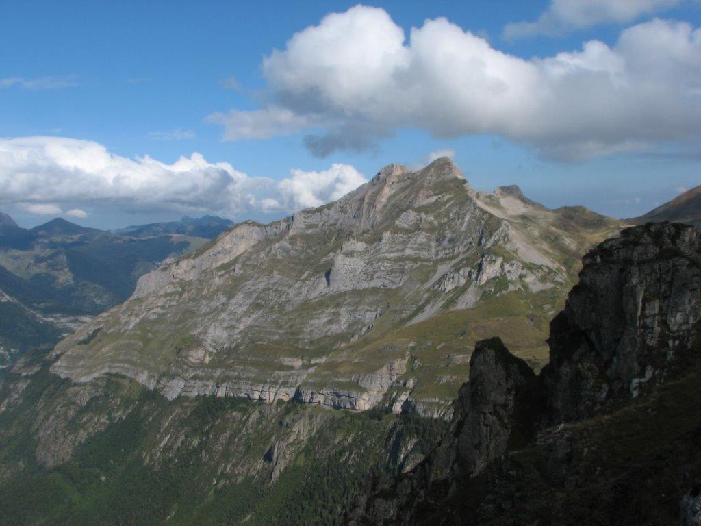
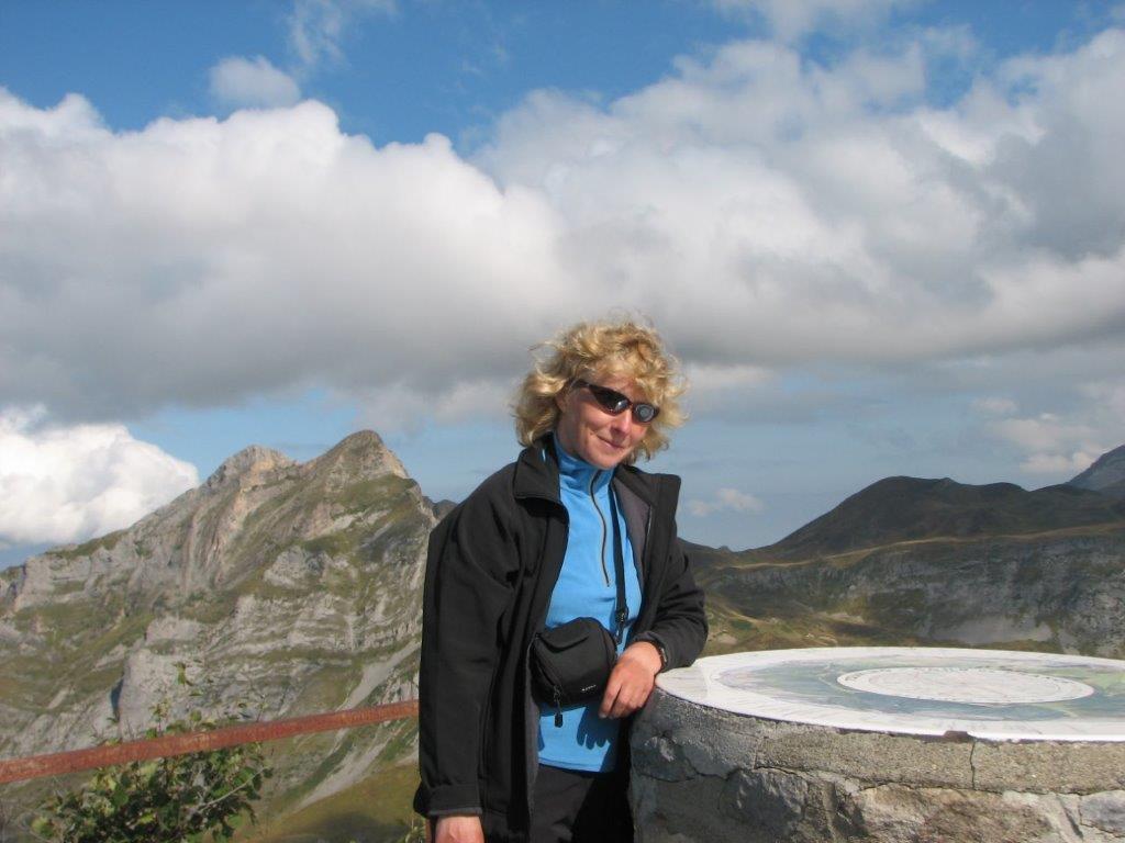
We walk up to the upper end of the cable car track. Then we go by the tracks of Artouste train (apparently this section not used for a long time). Then we make it to the path that leads us up to the summit. There is a panorama tablet – we can find on it the mountains around. It is great there on the summit – we sit for some half hour and enjoy the sun and the beauty around us. Bad luck with the Lurien – the clouds does not allow to see it. We see though another summits we have visited – Ayon, d’Er, Saoubiste. We see lake Boius d’Artigous – empty last year, now full with water.

When back at Fabreges we eat tarts again – bilberry and basque (the second one is not a berry 🙂

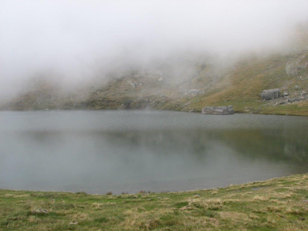
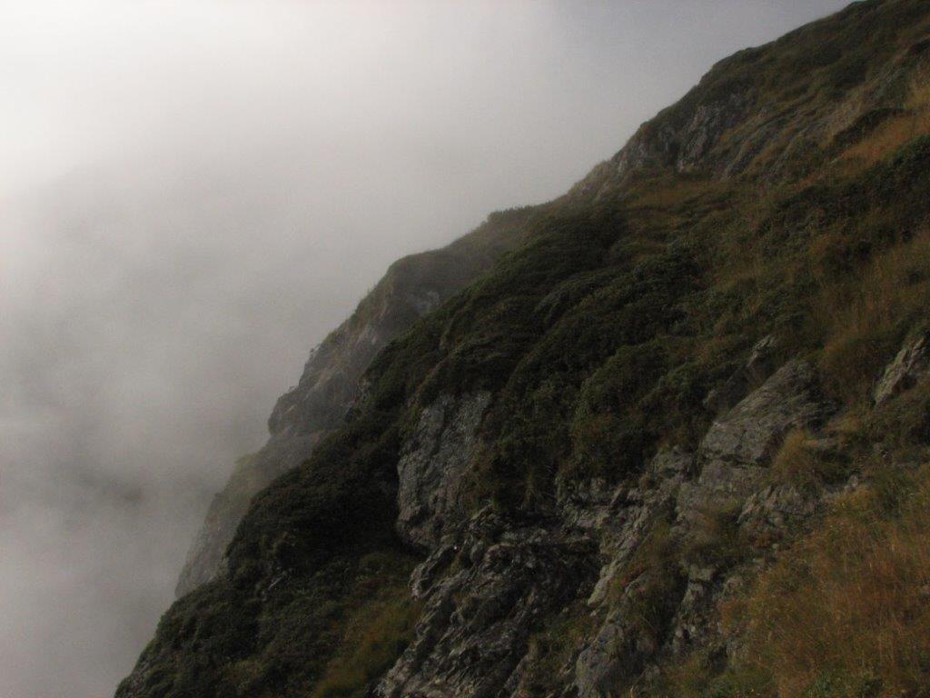
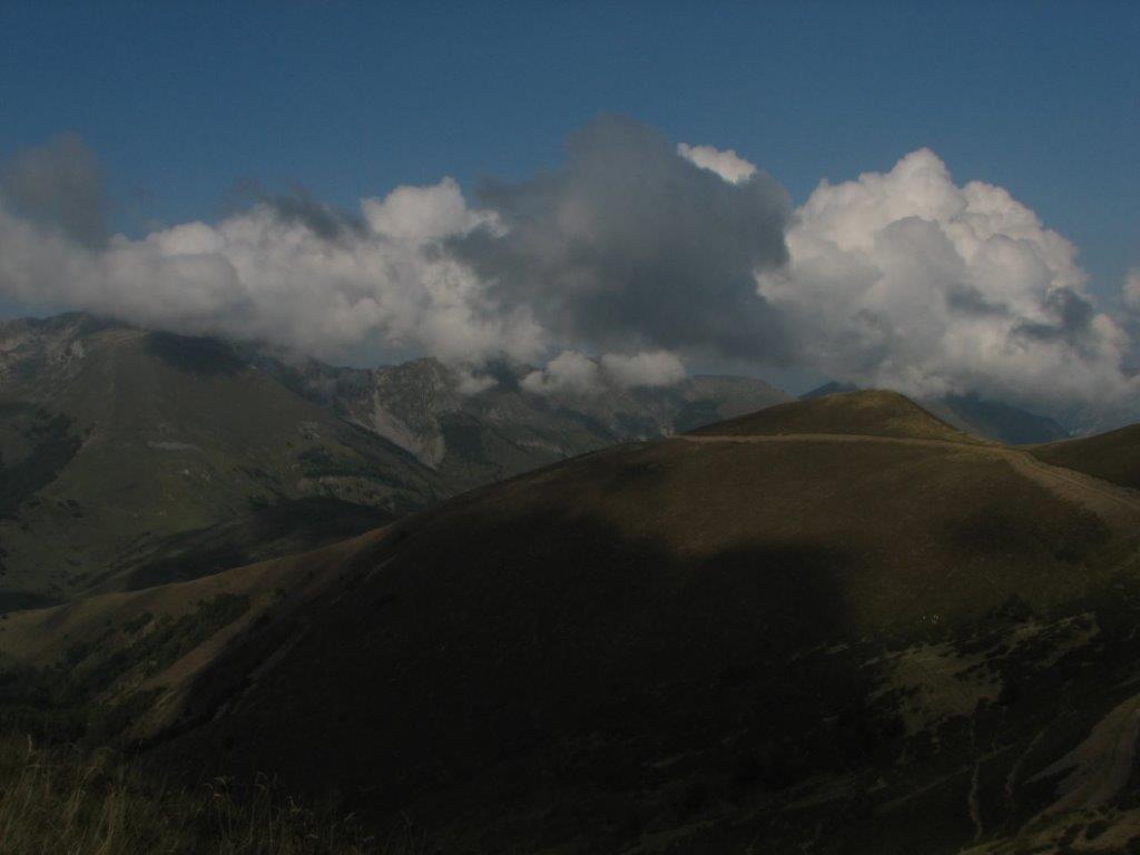
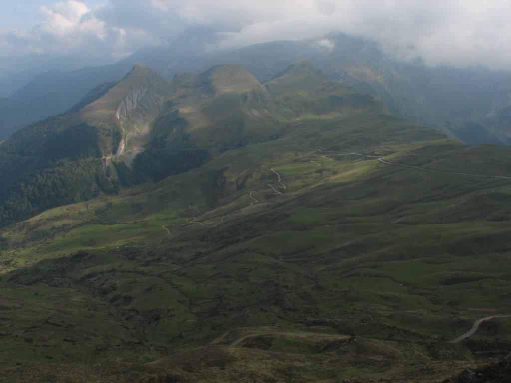
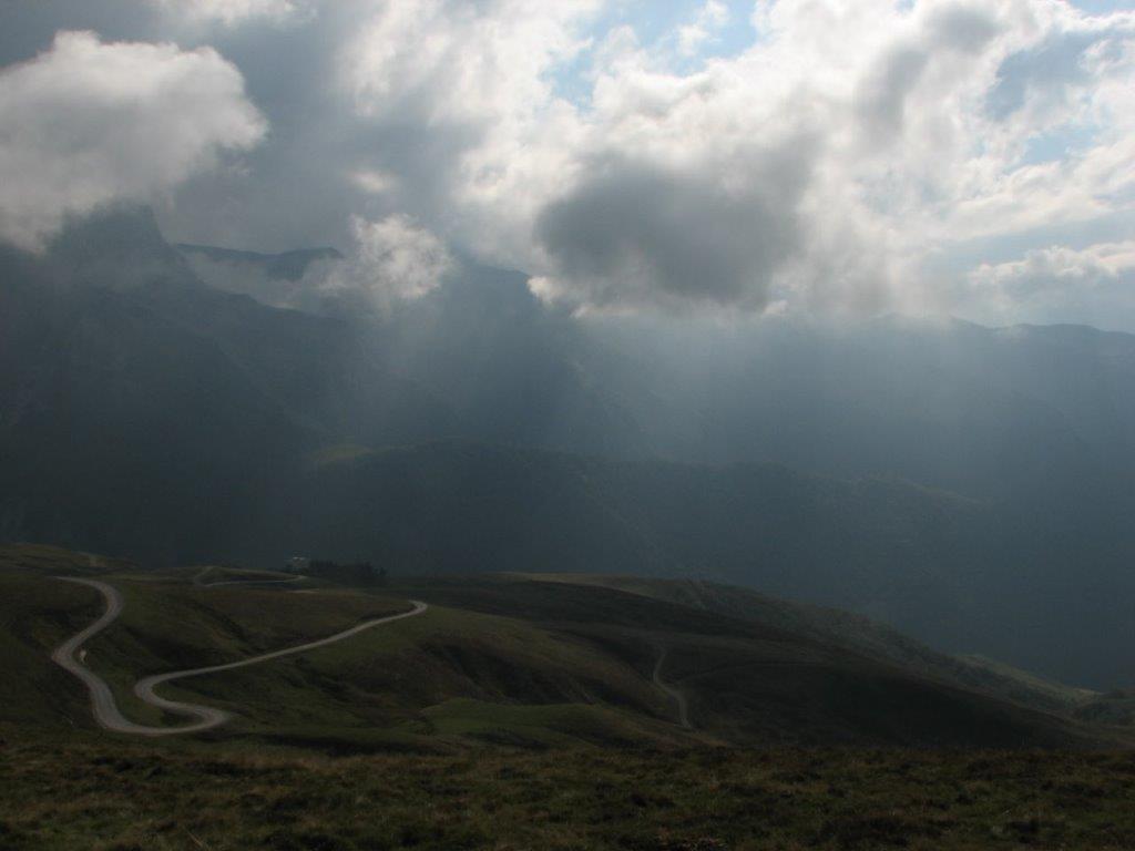
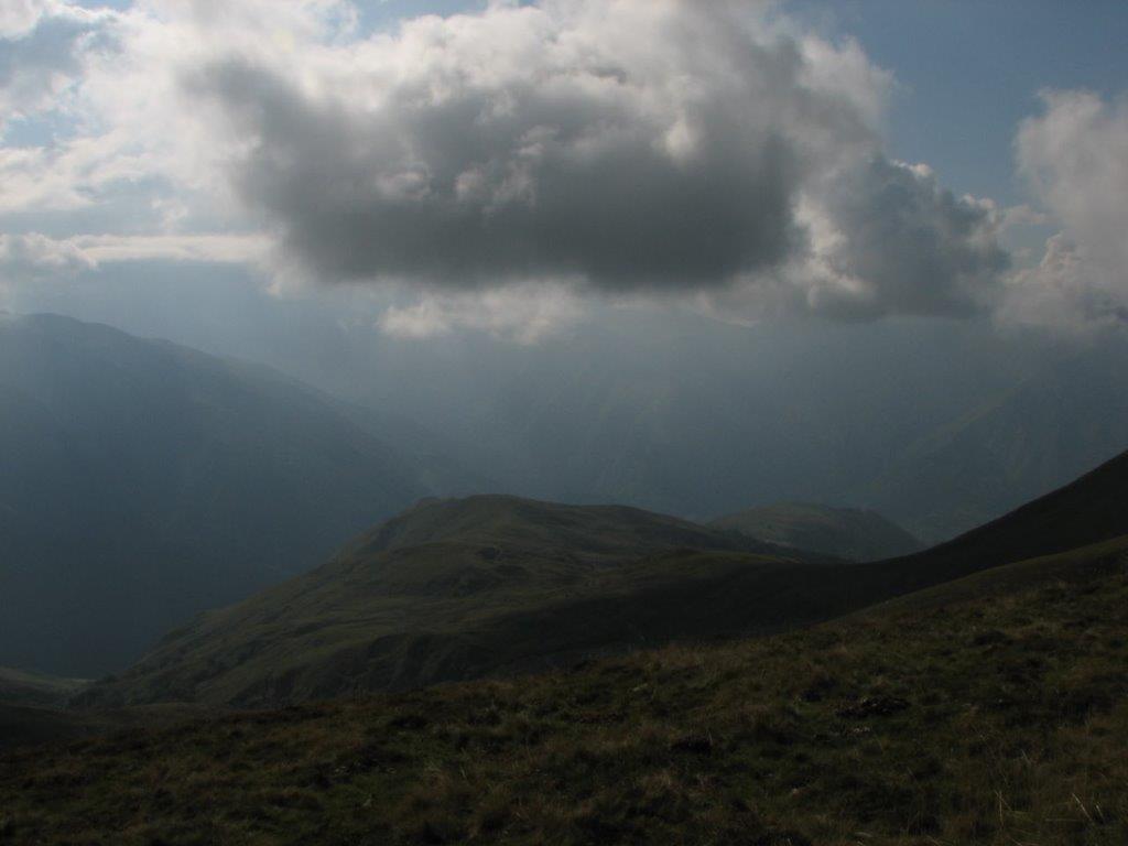
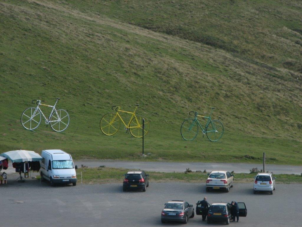
We decide to have one more adventure before returning home. We drive to Col d’Aubisque – the pass we visited last year and did not see anything because of a blind fog. This time it is different – the sun shines over the pass and dark clouds move around and this makes a brilliant landscape (some shots are as good). Like last year we walk to the close by summit Soum de Grum. Watch the sights we missed last year.

In a parking place we eat some croissants and drive away to Pau. Next morning flight to London and Riga.

To the start
Categories
Hiking

Pic de Peyrelue

We drive to the Spanish border – to  Col de Pourtalet. Some 3km before the border we stop at the tiny parking place and off we go. There are clouds here and there but above us the bright sun shines. We ascend to the shepherds hut Cabane de Peyrelue and further up to the beautiful meadow surrounded by the hills. Here we see the other hut and Pic de Peyrelue (2441m) behind it. The summit seems so close that we decide to take another track before. We climb the pass Port View de Salient and then a little bit higher towards Pic d’Estremere. We stop at the place with excellent view to the Spanish mountains and Coral de las Mulas where we have been a couple of days ago.

Having had enough sightseeing we go back to the meadow and then to the summit Peyrelue. Behind the hut we loose the path and further climb up straight to the summit. This is not hard to do because the way up goes through the meadows. We find our path again somewhere between pass
Port View de Salient and summit Peyrelue. Further on our path goes by the mountain ridge and Spanish border. We see the Spanish mountains and villages again, further on the reservoir Embalse de Lanuzo and village Lanuzo. We see Formigal and village El Portalet where we spent the first two nights.

We proceed by the ridge to the summit. Cold wind blows while we go to the summit but up there is warm and pleasant weather. We spend there some time enjoying the landscape. For the way back we select another valley – Ourade. There pastures one sheep, another one we see close by – dead and partly eaten. In a stream nearby lays a horn. A perfect souvenir.

Ilze finds an amazing view to a close by cliff – it looks like lying dog.

We descend to the first hut and then to the car.

On a way home after Eaux-Chaudes shepherds goad a herd of cows. We outdrive them without major problems, except maybe a couple of corns too close to our car windows.

To the start
Next day
Categories
Hiking

Pico de Baciasa

Waking up at 6am. Cloudy – but with a room for improvement 😉 We drive to Spain – to Banos de Panticosa again. On the way to the border there are still clouds around but later it changes to sunny, yet chilly. A thermometer in a Spanish village shows 6 degrees. We leave the car at the road side just before Banos de Panticosa – the same place as few days ago when we hiked to the Puerto de Marcadou.

We ascend by the path in the hills shadow. It is cold – we eat frosted billberries. Only at 11am we are out of the shadow and in the sun (we have a plenty of sun after that – the faces get burned red). We climb up to lake Ibone del Brazato. Later on when over the hill we see another three lakes – Ibones Altos del Brazato. Mainly the track goes over the stone covered fields. It leads us to a pass Cuello Alto del Brazato and at last to the summit Pico de Baciasa.

We notice that there is a cold wind when ascending and descending from the summit. Still – it is warm and no wind at the top!

On a way down we nibble with bilberries again – thawed this time. We have raspberries as well.

On a way home we get stucked before Eaux-Chaudes. A giant flock of sheeps has filled all the road. We follow the flock some five minutes (several cars in a row behind us). Then shepherds asks as to drive by. We do that – by the roadside and then just by the meadow next to roadside.

To the start
Next day
Categories
Hiking

Pic Sanctus

Cloudy outside today. We select a track that goes from the close by sky resort Gourette to the Spanish borer an Sanctus summit (Pic Sanctus 2842m).

We visited Gourette last year as well. This time the picture is very much the same – the town is empty because out of the high season.

We start to go at 9am to lake Anglas. The weather changes frequently from foggy to sunny and back. We have a look at old iron mine, at least what has been left out of the iron mine – old railway track and a carriage. Right by the mine we see flying two giant vultures. They fly unpleasantly close to us.

When we are up by the lake Anglas, we hardly see it because of the fog. While we walk by the lake the fog disappears and we have a full sight of the very picturesque lake.

Further on we climb to another two lakes – Uzious and Lavedan. They are beautifull as well and they get covered and uncovered by the fog several times while we walk by.

From lake Lavedan we ascend to pass Uzious (Col d’Uzious), then by the stony and steep path we proceed up to the summit Sanctus. The weather changes again from the perfectly sunny to the cloudy when we approach the summit. Close to the summit two vultures start to circle above our heads. They fly so close that we  clearly see how they move the heads and watch us. We try to look as unpalatable as possible 😉

Back to lake Uzious we follow the same path. Further we select another track that looks perfect at the beginning but later becomes steeper and steeper. We have to hang to the chains and then climb down by the large water-pipe. In a while we are in place where the track goes just vertically down. Ilze opens the track description and reads that we must climb down between the cliff and the pipe. To our surprise we manage to do that and to get down!

To the start
Next day
Categories
Hiking

Eaux Bonnes

The weather is cloudy and damp. We get up at 7:30am. Breakfast and shopping, then off to explore what’s nearby. Our track goes uphill to the villages Beost un Aas. Aas village is famous of it’s whistling language that has been practiced by the local shepherds. We found the memorial plaque by the wall off the church yard – the last whistling language practitioner has gone to the better world in year 1986 🙁 This is a pity because this leaves only three places on the map where they still use a whistling language – namely Turkey, Canary Islands and Mexico.

We have planned to climb to the nearest summit next. Still we get lost and walk to the nearest town instead – to Eaux-Bonnes (good waters). The town is situated at the steep uphill of the narrow valley. Our track goes by the side opposite to the town and we have a perfect sight of it. After having a stroll through the Eaux-Bonnes we walk back to our camping by the old Laruns road. It rains all the time – the lazy day for our camera.

We take another stroll in the afternoon – around Laruns. Our camping is situated by Quartier Pon which is the old block of the town with only one very narrow street and houses stucked closely in a row. Looks like a street is just another room for the locals – everything looks so close and tiny. Charming.

To the start
Next day