Driving one more time to Boi valley. This time we turn off at the Boi and drive to the parking place on a road turn on the other side of Taull. Taking the forest path uphill to the large and small Pesso lake, then to the 2791m high Tuc dels Carants summit. First the rocky meadow to the pass, then by the ridge to the summit. Then by the ridge to the 2750m high Pic Roi.
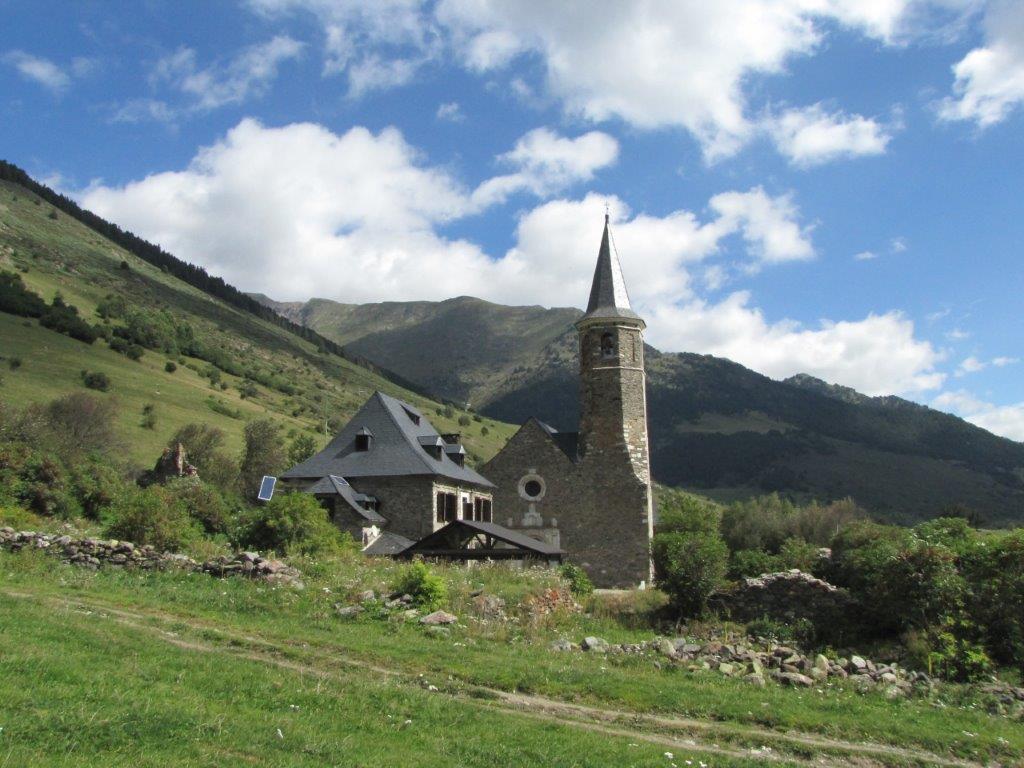
It’s sunny again. Still not warm – some 8-9 Celsius in the morning. We take a 12km track by the pleasant valley to Montgarri monastery.
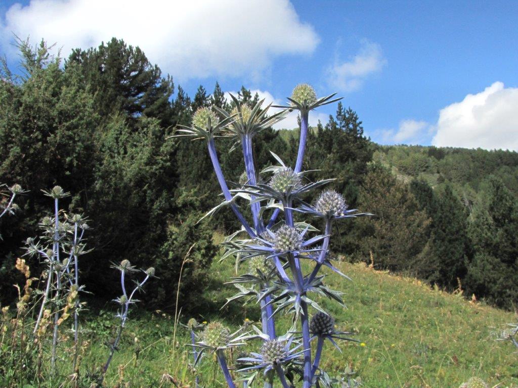
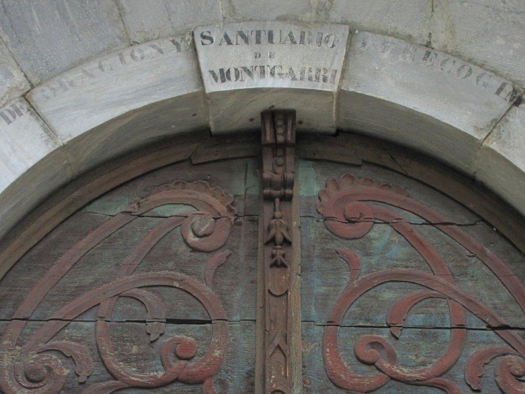
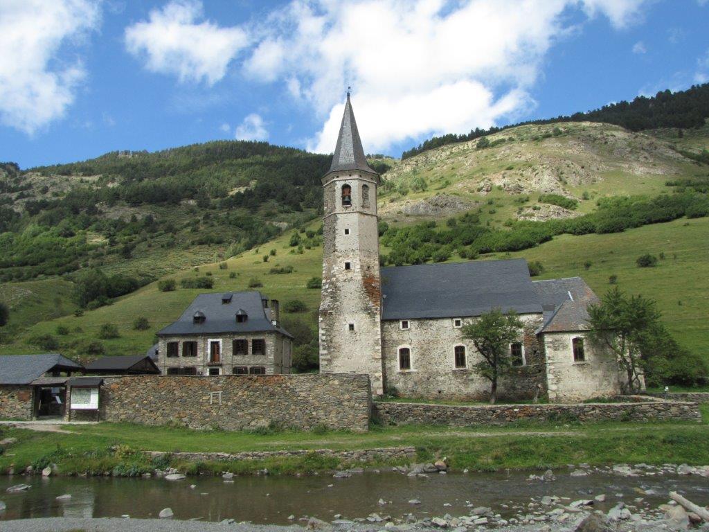
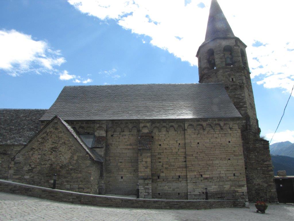
The track starts at the Plan de Beret parking lot – a huge parking place now almost empty (waiting for skiers). We follow a mountain road by a stream. The valley is rather flat, mountains green. Some blue thistles in blossoms. After an easy 6km walk (some body parts sending another kind of signals though) we are at the point of interest. It is an old beautiful church accompanied by a hotel, restaurant and a souvenir shop. No monastery though but we can explore the inside of the church not disturbed by anybody else. And to climb the second store as well.
We order a coffee and cola (for no-coffee ones) and consume what we have for lunch. Then follow another way back.
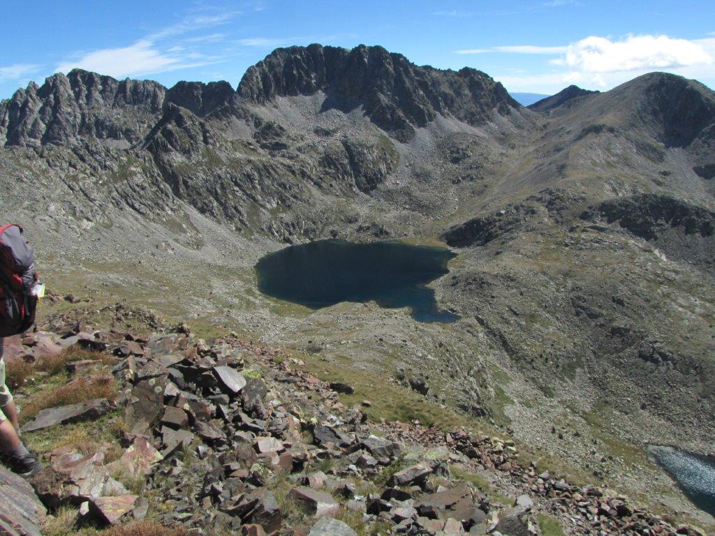
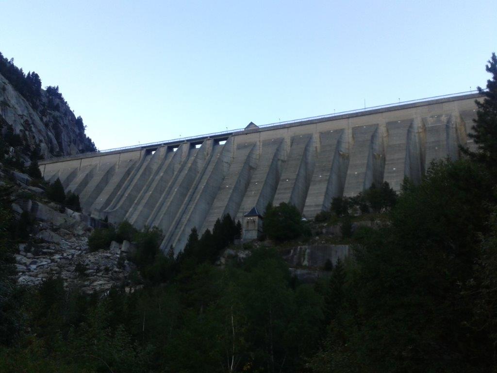
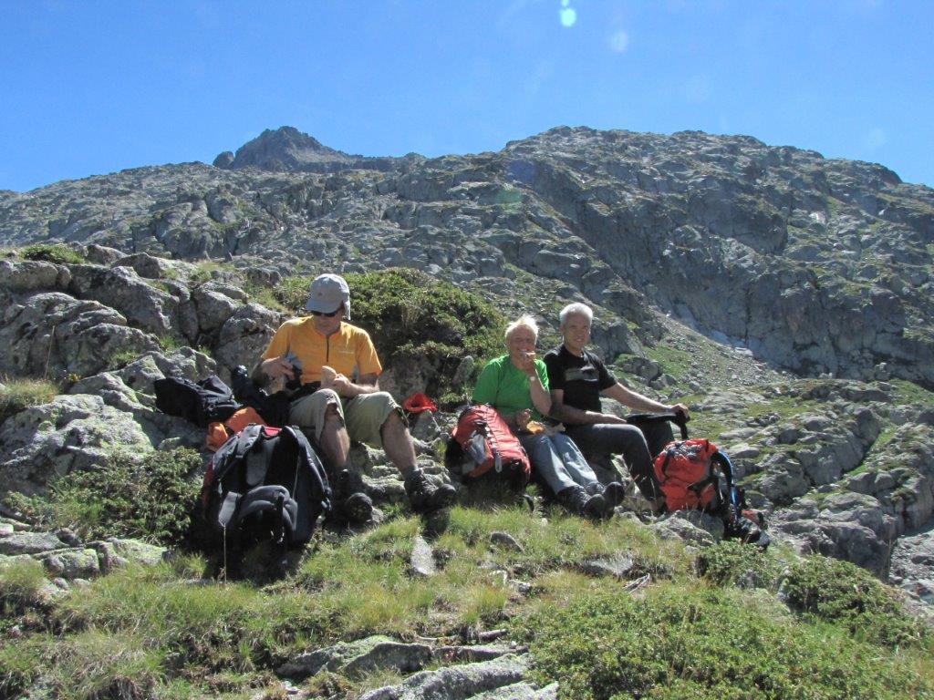
The track in Boi valley starting a the Estany de Cavaliers for today. Some 1300m to ascend to one of the available summits. Will select one of them on the way.
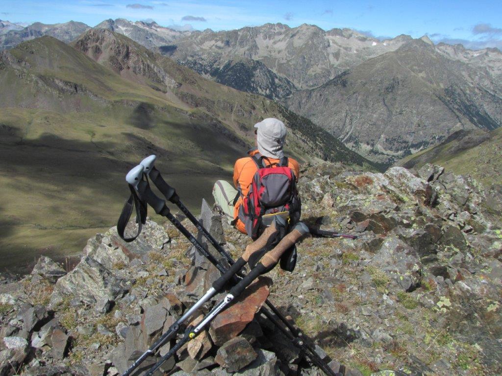
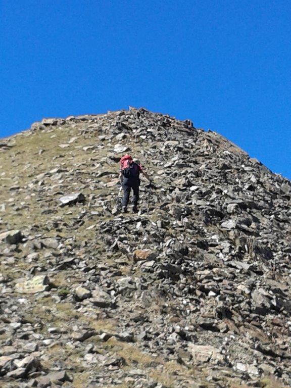
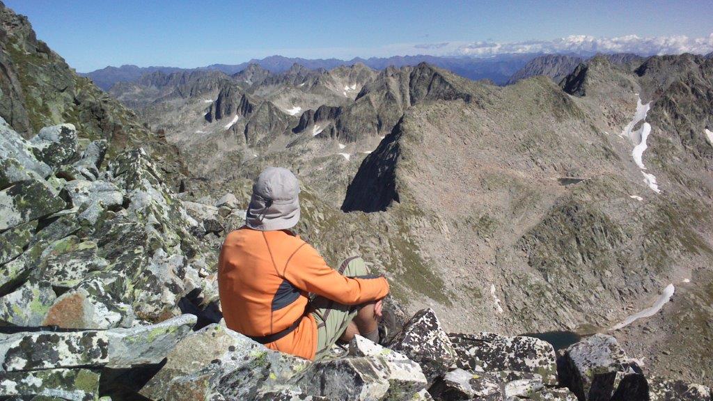
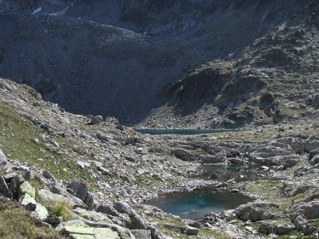
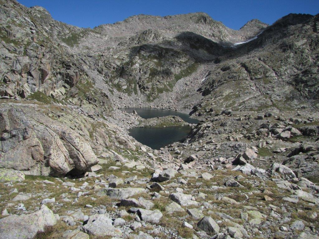
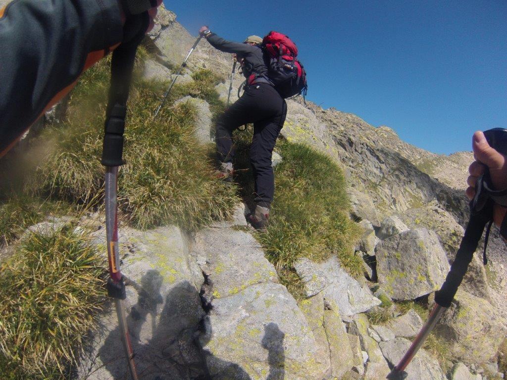
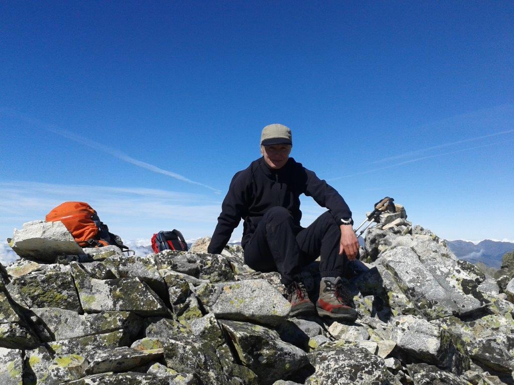
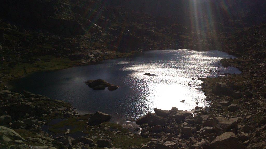
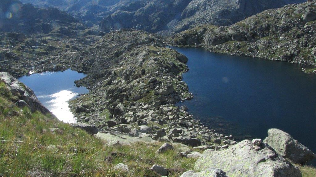
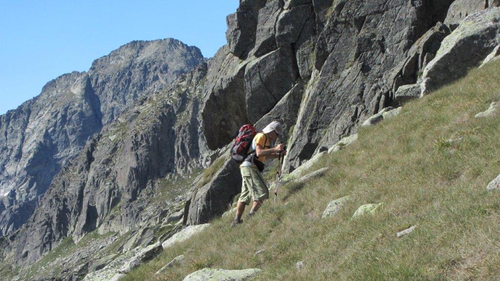
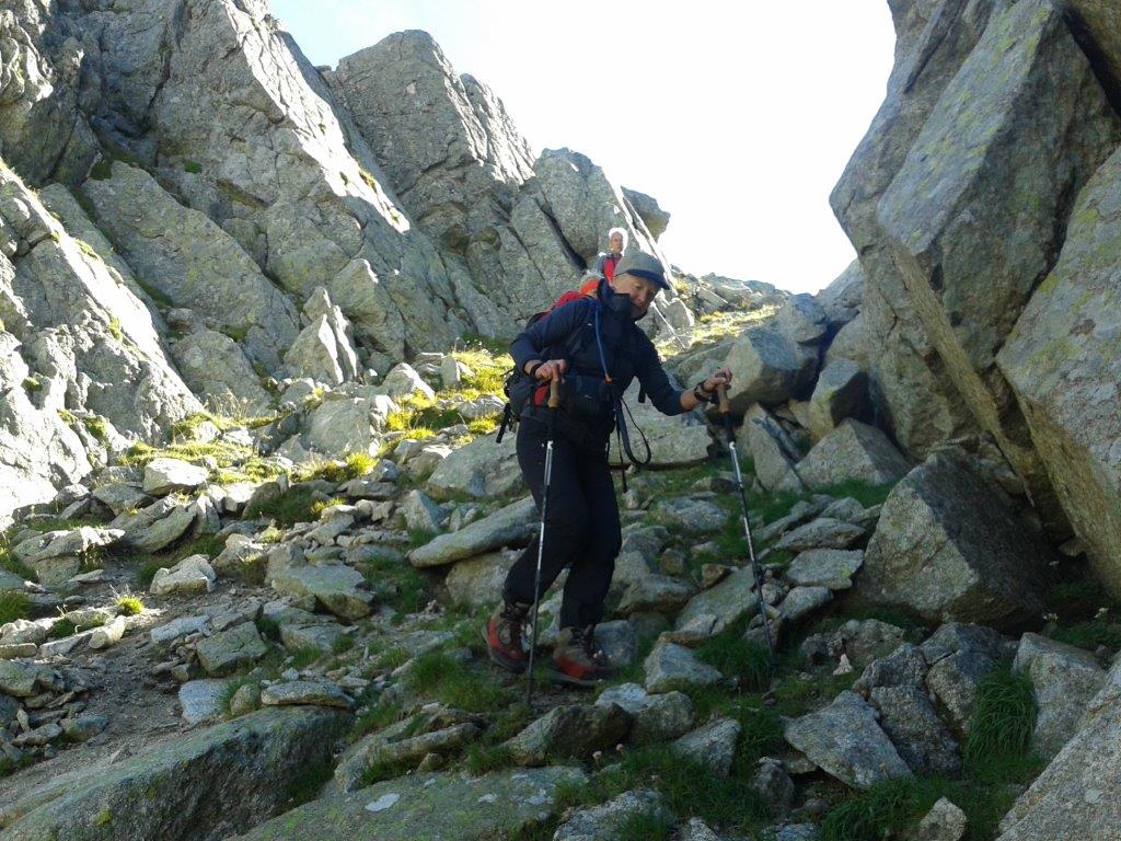
The parking place is located near the bottom of the high dam. The track follows the road then transforms into zig-zag path, then to a steep ascend by the rocky-stony slope. After a long and tough walk this becomes somehow less steeper but rocky. Further the path goes by the mountain stream and a couple of lakes. We found here a signed path to the 3014m high Punta Alta de Comalesbienes. The slope scattered with loose rocks here as well. When reached the path we see that the summit at the right and some more 50m above is too tough for us. The other summit at the left looks like we could manage. In no time we are there. As we find out later it is the 2993m high Pic de Comalesbienes.
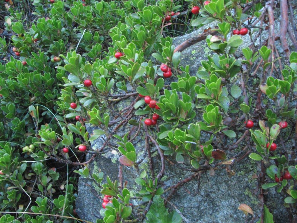
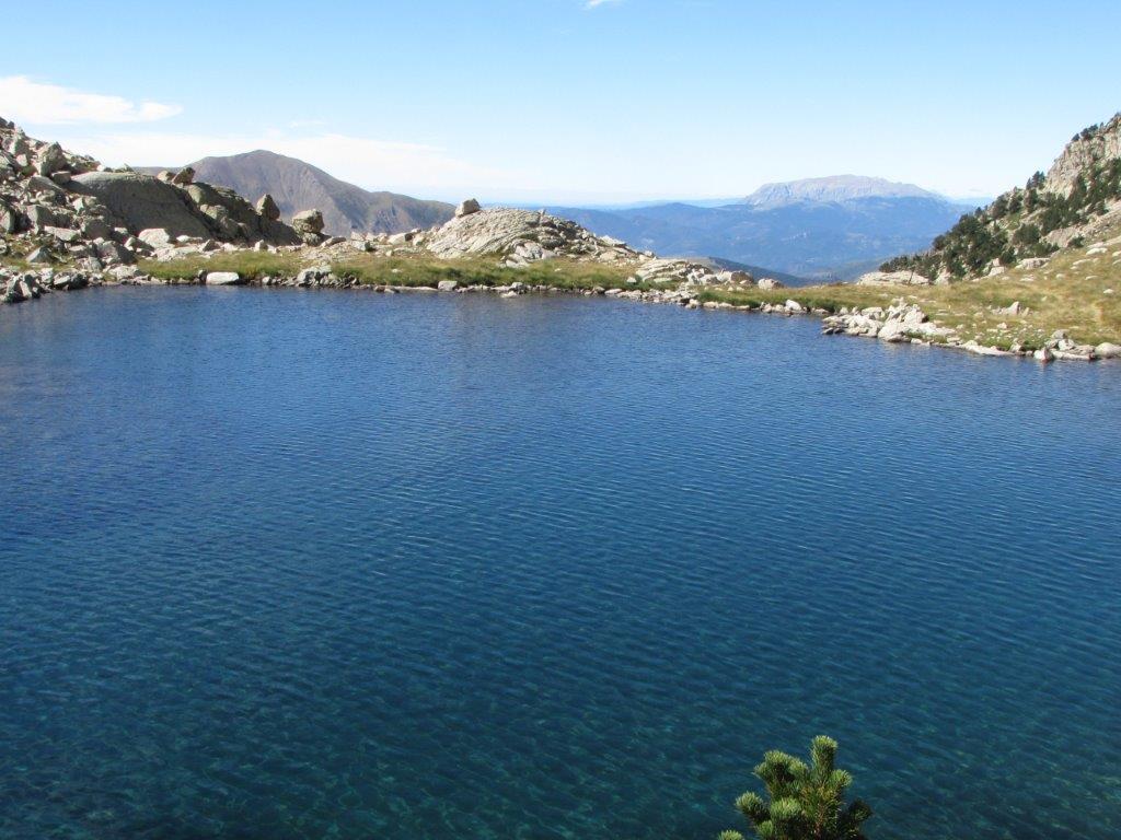
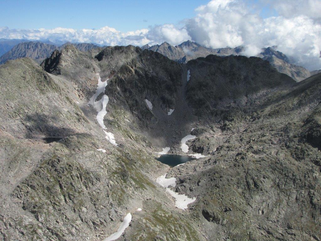
All kinds of lakes in a view around and below. Clouds below here and there. On the top we can enjoy the sun and the views.
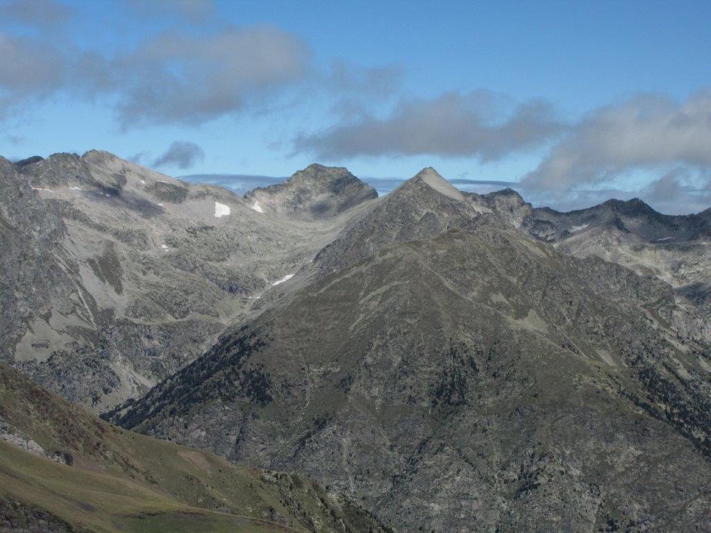
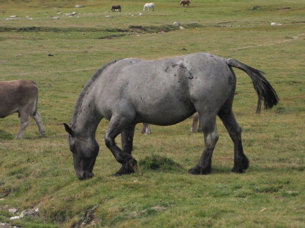
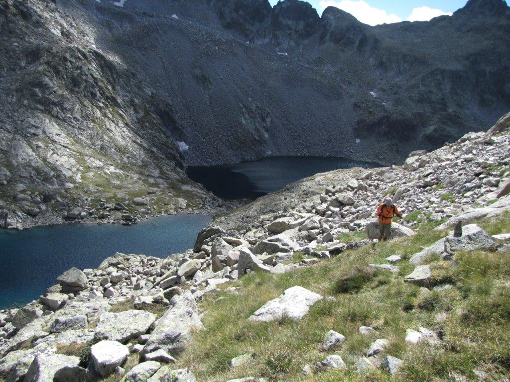
Descending by the same path. When down near the lake we stop to enjoy hoe the goats run by the snowy and rocky slopes. The toughest part is the last one – must be very careful on the steep slope.
This was rather tough track so we decide to have something easier for tomorrow.
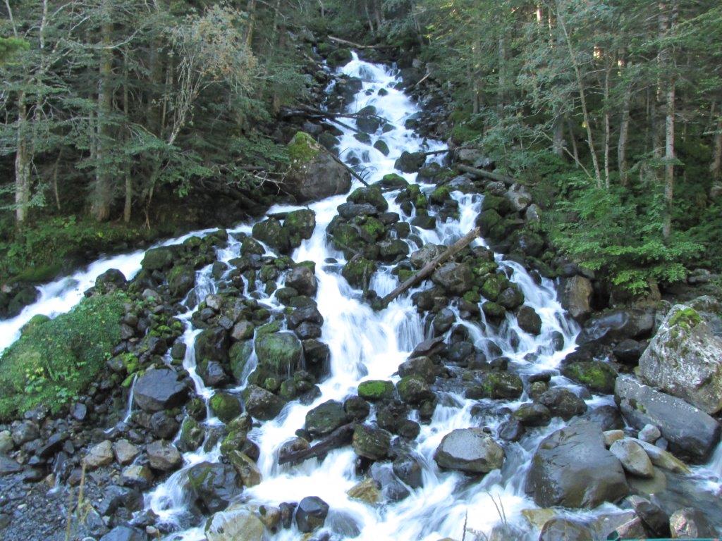
Sort of recovery day today. Two short tracks – a couple of km each. Watching subterranean river to flow out at first. The thing has name Uelhs Deth Joeu. The river disappears somewhere at the Aneto glaciers and returns at the surface here. To reach it must drive some 9km by very winding and narrow road. Some parts of the road are driven away here as well during the June storms.
The outflow of the river on the rocky slope by the gaps between rocks is rather impressive.
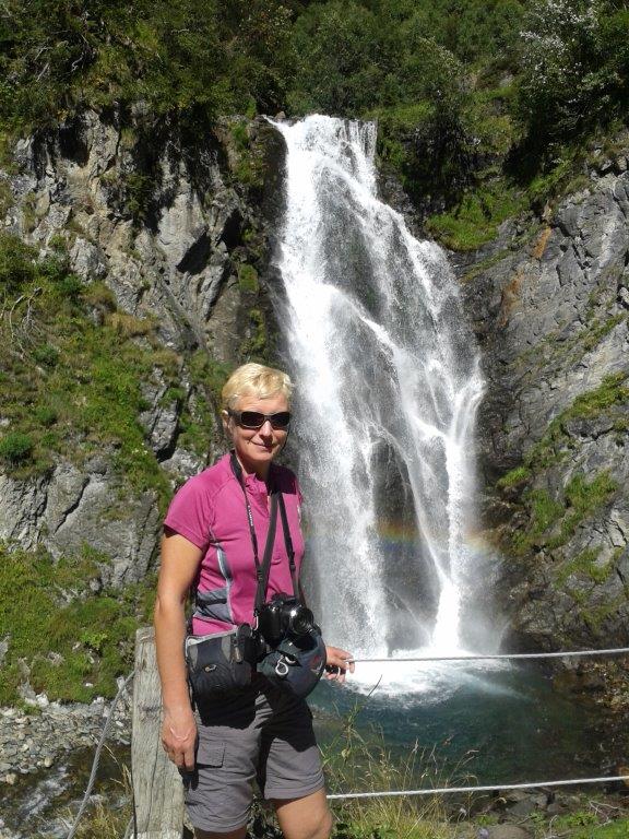
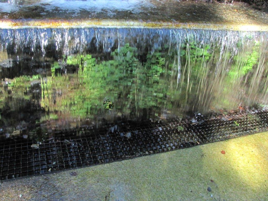
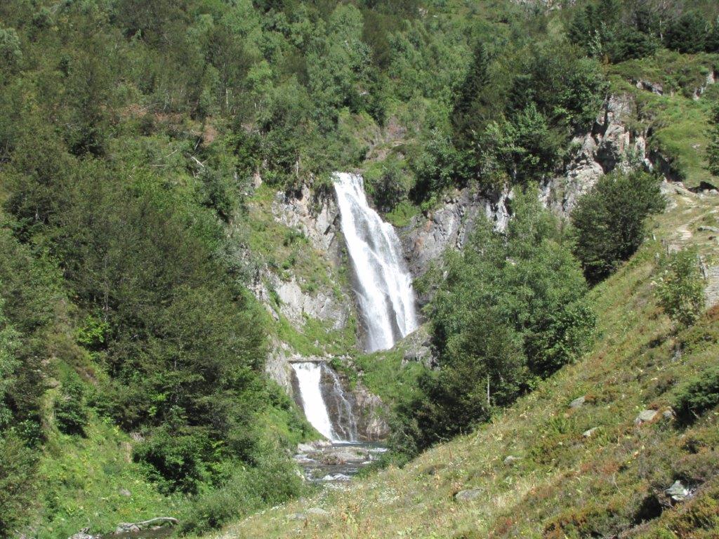
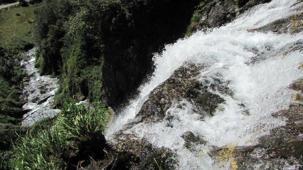
Next we return to the highway and then follow other sample of narrow and winding road to take a look at Saut deth Pish waterfall. It falls by the vertical wall of height of 12 store building. Rainbow at the bottom. We enjoy the waterfall from the sightseeing platform, then ascend to the upper end. A couple of smaller waterfalls higher in the mountains appear to our sight here.
It is Friday 13th today. Luckily we are not superstitious 🙂 Still at the end of the day 3 knees were scratched and there were two cases of stumbling (with no serious consequences).
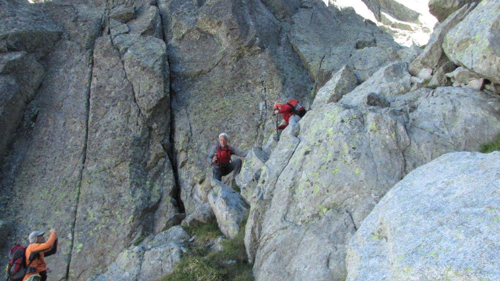
We follow the track of foxes (Carros de Foc) back to the Restanca. Carros de Foc is a network of the mountain paths connecting nine mountain refuges(this includes Restanca, Ventosa and Colomers). The track from Ventosa to Restanca turns out to be tougher as expected. Some ups and downs while we were at a mountain pass. It is not easy to find a pass – we walk to several gaps on the mountain ridge before to find it. Only a chaos of rocks and stones on the other side. At last we notice two rocks baring the track signs.. The path here is extremely steep but we descend with caution encouraged by the signs.
The descend is followed by the walk through the rocky slope and then by some kind of a rocky path. This takes us to refuge Restanca.
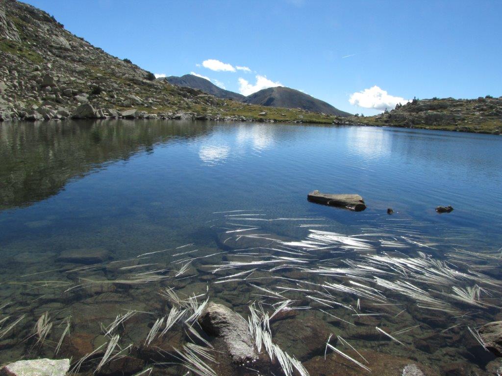
Before the refuge we turn aside to take a look at lake Estanh de Mar and have a lunch.