The track in Boi valley starting a the Estany de Cavaliers for today. Some 1300m to ascend to one of the available summits. Will select one of them on the way.
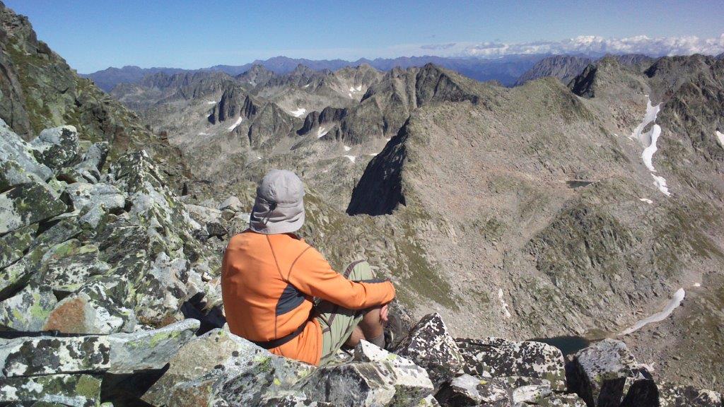
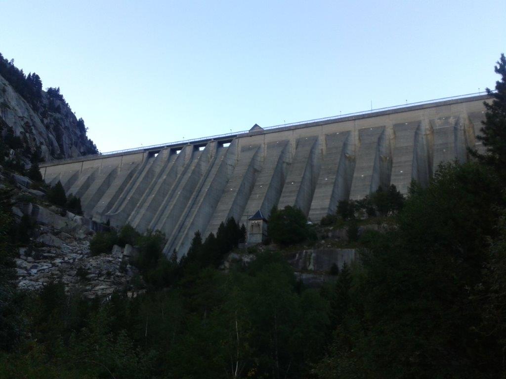
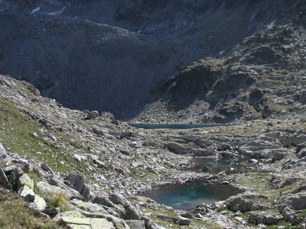
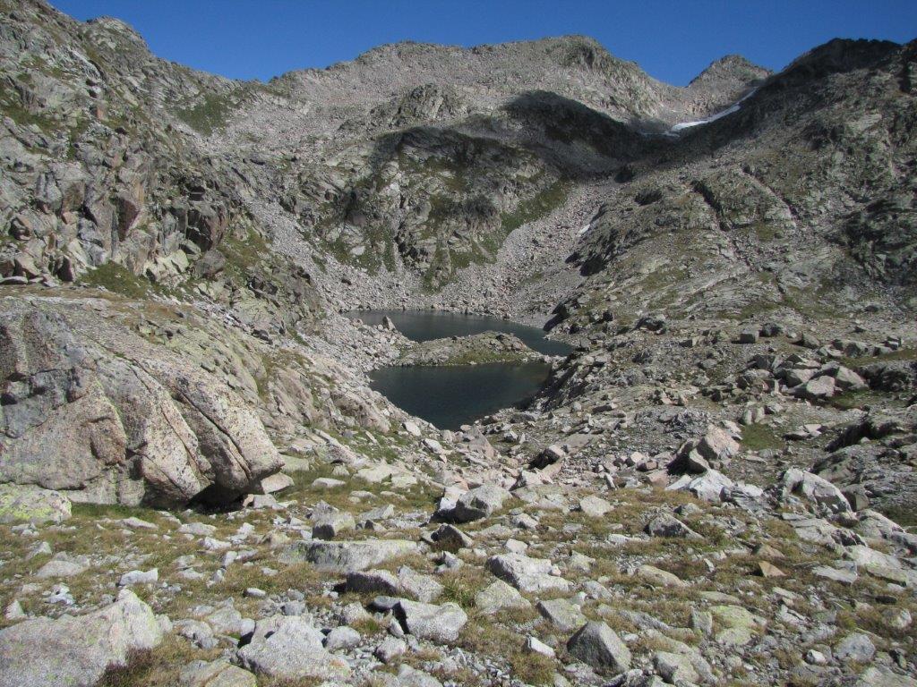
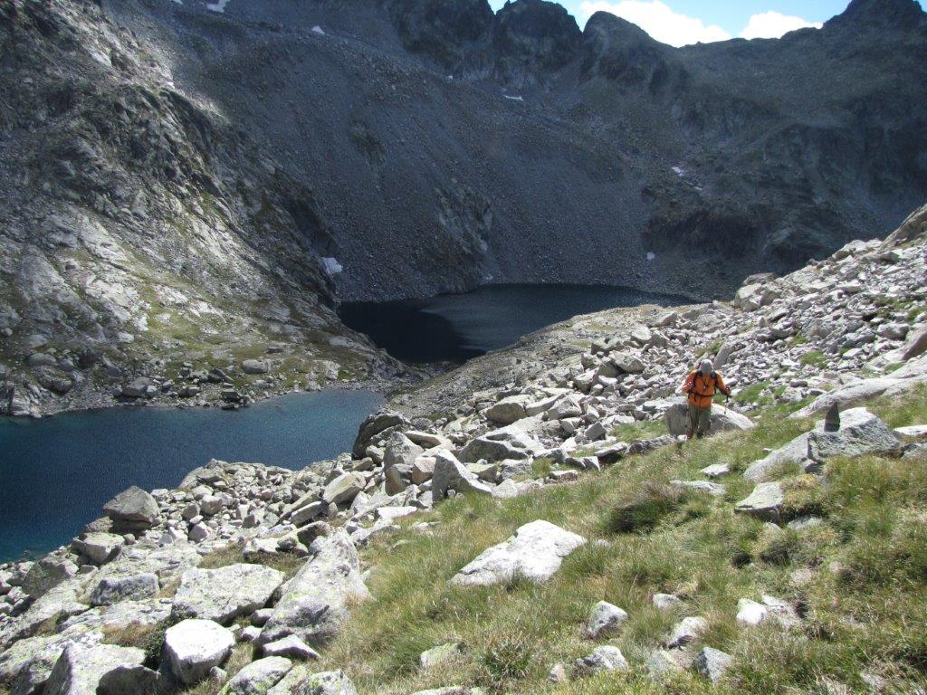
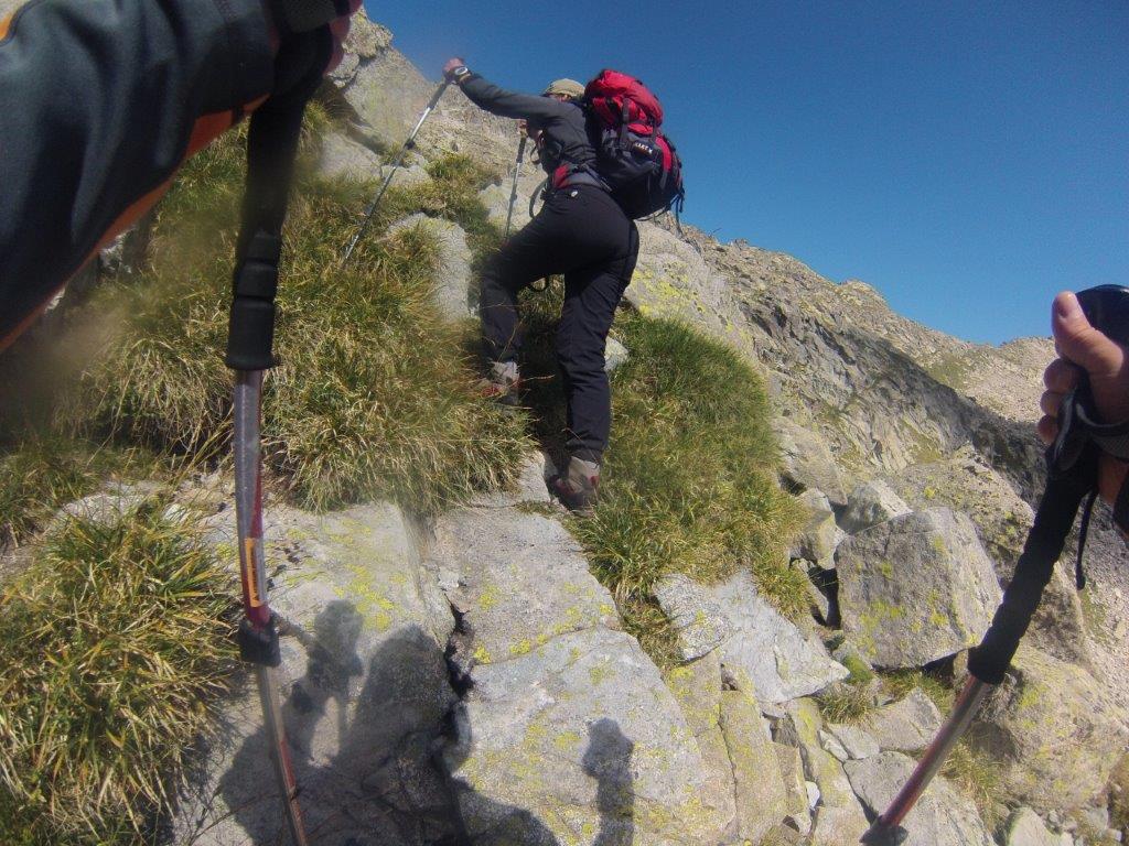
The parking place is located near the bottom of the high dam. The track follows the road then transforms into zig-zag path, then to a steep ascend by the rocky-stony slope. After a long and tough walk this becomes somehow less steeper but rocky. Further the path goes by the mountain stream and a couple of lakes. We found here a signed path to the 3014m high Punta Alta de Comalesbienes. The slope scattered with loose rocks here as well. When reached the path we see that the summit at the right and some more 50m above is too tough for us. The other summit at the left looks like we could manage. In no time we are there. As we find out later it is the 2993m high Pic de Comalesbienes.
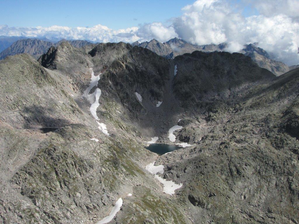
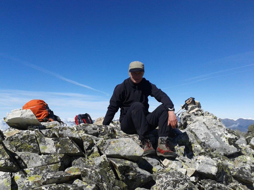
All kinds of lakes in a view around and below. Clouds below here and there. On the top we can enjoy the sun and the views.
Descending by the same path. When down near the lake we stop to enjoy hoe the goats run by the snowy and rocky slopes. The toughest part is the last one – must be very careful on the steep slope.
This was rather tough track so we decide to have something easier for tomorrow.