Driving a mountain road in direction of Briancon to Brunissard. Turning off there we take a narrow road to the parking place. Sun shines as usual.
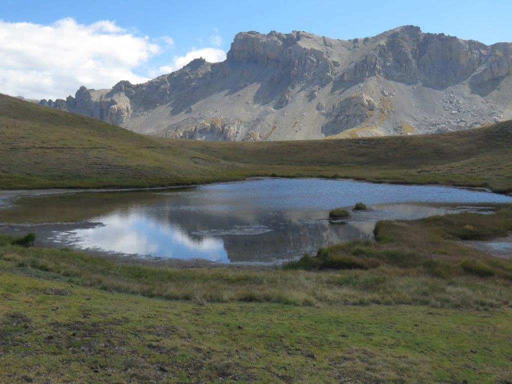
The track takes us to the lake Pra Premier (it has partly disappeared, there is only a kind of a tiny pool), then by the mountain road up to the village Clapeyto.
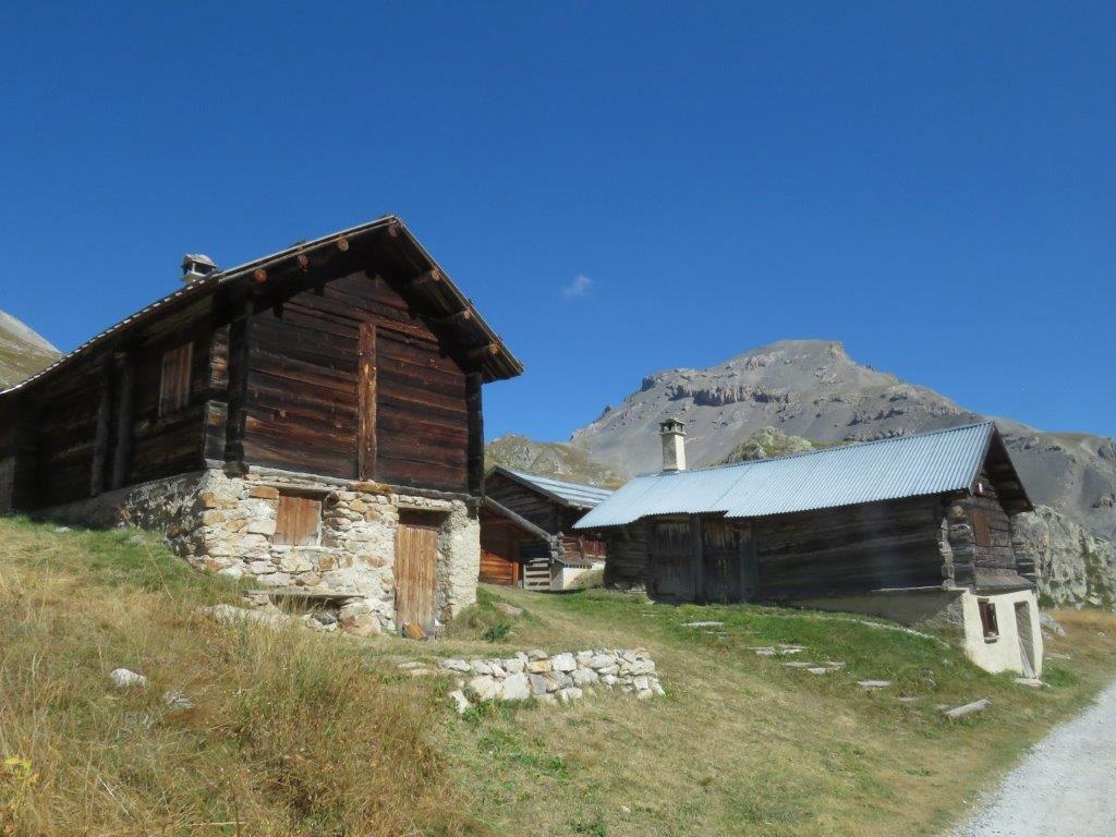
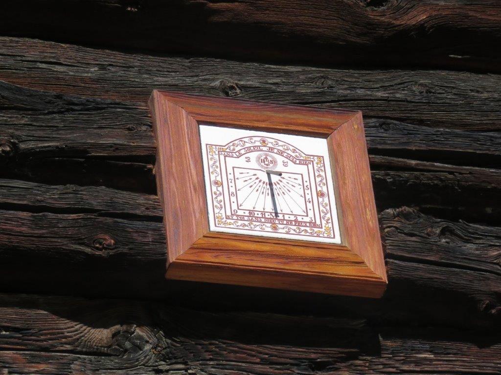
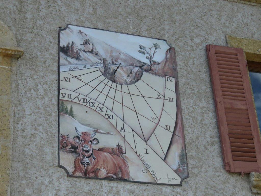
There are some twenty houses in the village still nobody hangs around – only a somehow lonely car by one of the houses. The houses have stone made base floor and a wooden first floor. Some of the houses have sundials on the wall.
We proceed by several little lakes uphill to Lac Neal.
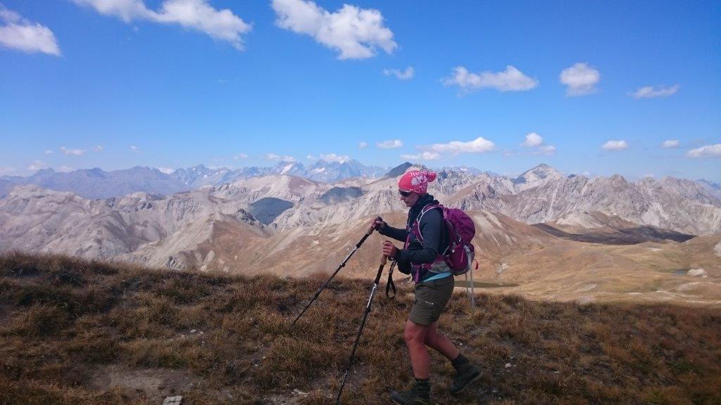
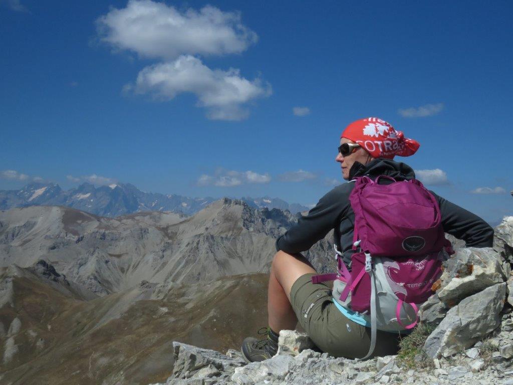
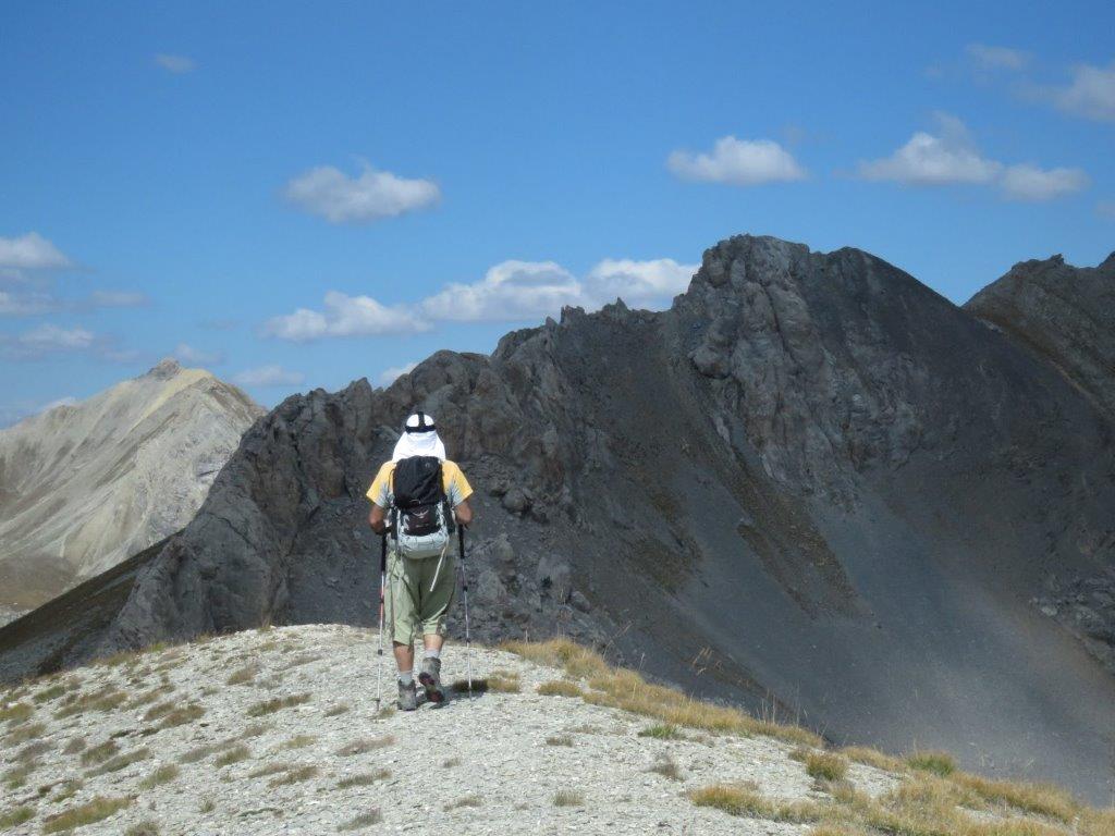
Next the path takes us uphill again to Col du Lauzon and to 2706m high Pic des Esparges Fines. The track to the summit goes by a mountain ridge – rather steep and rather narrow. The 360 views though from the top to Monviso, summits of Écrins national park and others. No wind here so we stay for a while.

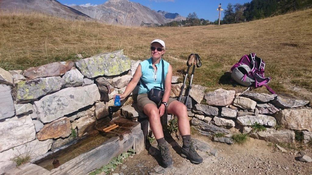
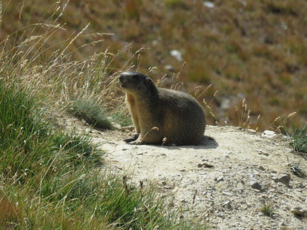
We take the same path down to the pass, then select another path to proceed downwards. The distant view here of the Clapeyto village on the opposite side of the valley. Our side has however a lot of blueberries – small and sweet. We stop here and there to enjoy them.
We are back in parking place at 4.30pm after six hours hiking. While getting ready to drive we hear a noise as if a number of trucks were unloading a load of stones – apparently a landslide. The place is out of sight but the noise comes from the direction we just came from.
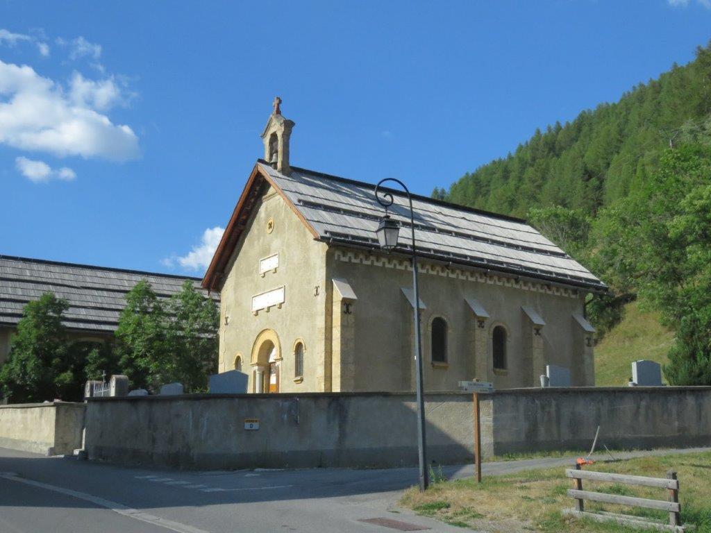
On a way back we stop at Arvieux, two little churches here look one at another from the opposite street sides. The cemetery with wooden crosses and grave frames.
We have a quiche a la Queyras and a blueberry cake at te café in Arvieux. Delicious.
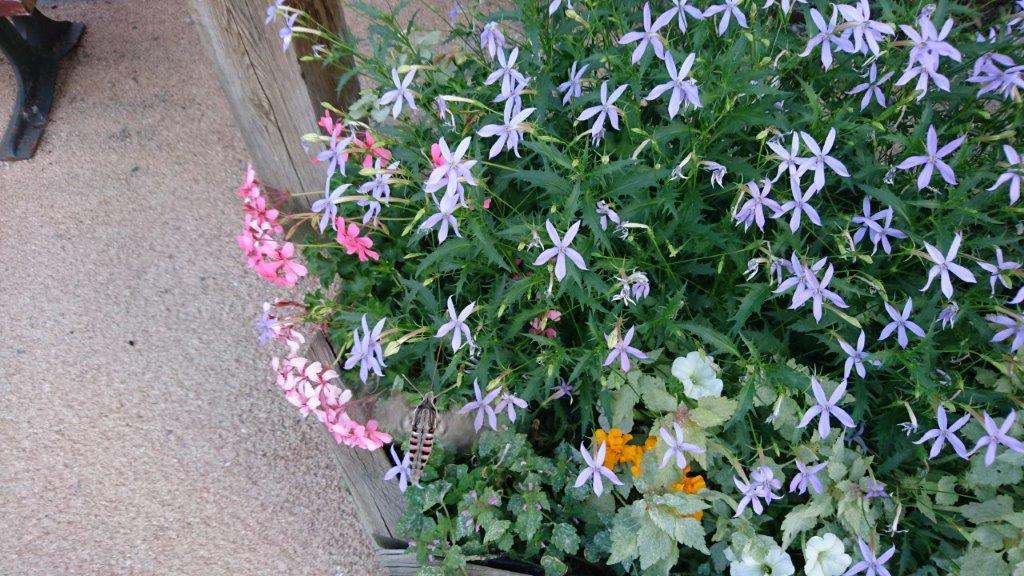
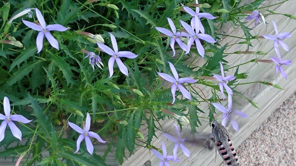
The day ends with a wonderful show at the center of Abries – hummingbird hawkmoths (colibri butterflies) dancing over blossoms.