After the close examination of the weather forecast we decide to climb the 3144m high Taillon. It’s cloudy but we hope that higher in mountains it will be sunny.
We drive to Gavernie and then to 2208m high Col du Tentes. The bright sun shines over the pass still the mountains around (Taillon inclusive) are wrapped into clouds.
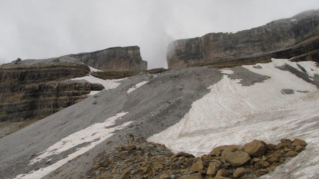
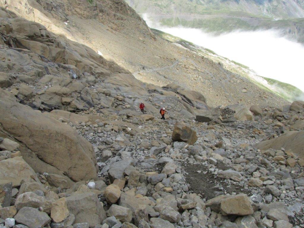
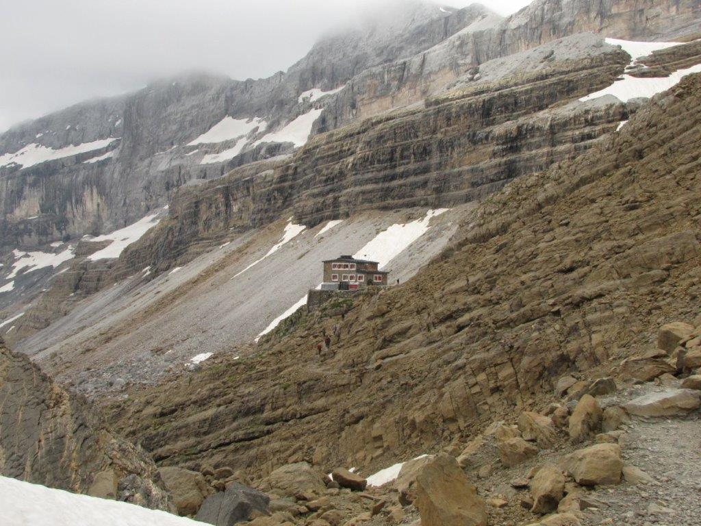
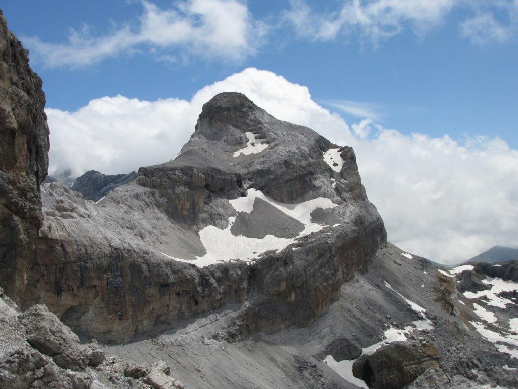
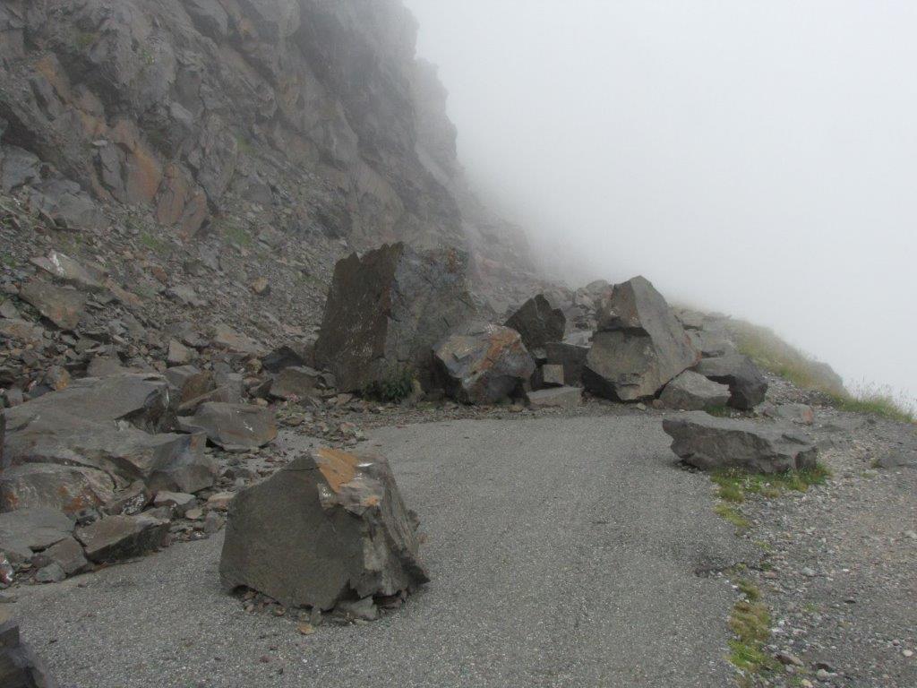
The track starts on an old unused road full of rocks and stones. The road ends by the pass on the Spanish border. There we turn to the track that takes us up in to the mountain to the Sarradets refuge. Next we follow the path over the glacier to the Breche de Roland (see here about our previous hike to Breche de Roland).
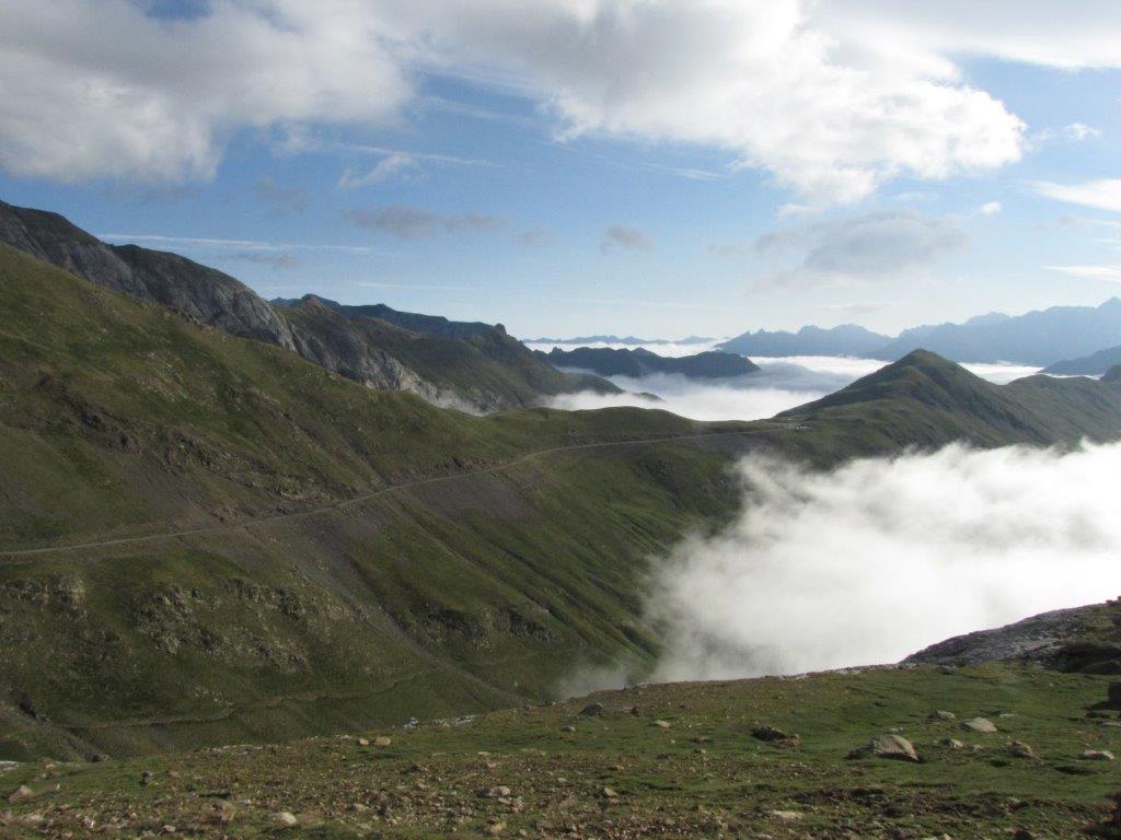

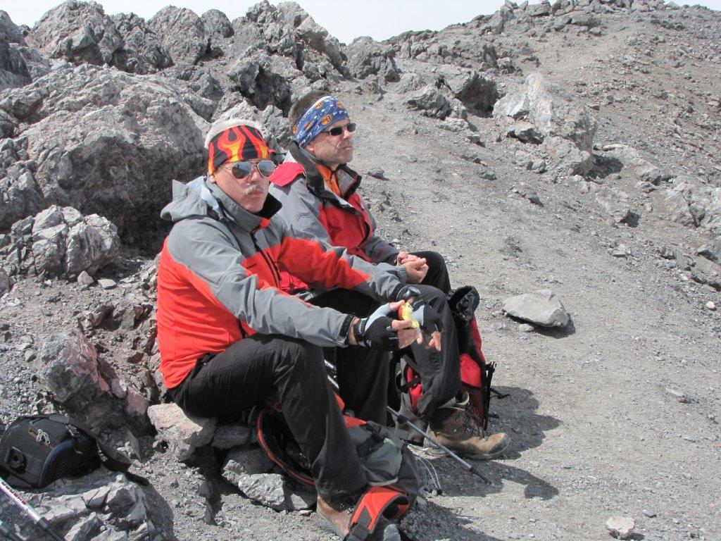
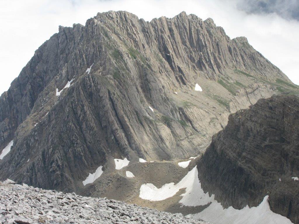
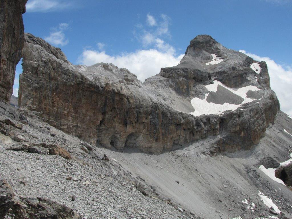
We take a short rest in the gap and then follow the track by the Spanish side of the rock wall to the Taillon. The cold wind pushes a cloud across the path while we climb up the mountain ridge to the summit. And then we are up on the summit. The clouds are below us and we enjoy a gorgeous view around. Pic du Midi de Ossau with the observatory on top inclusive.
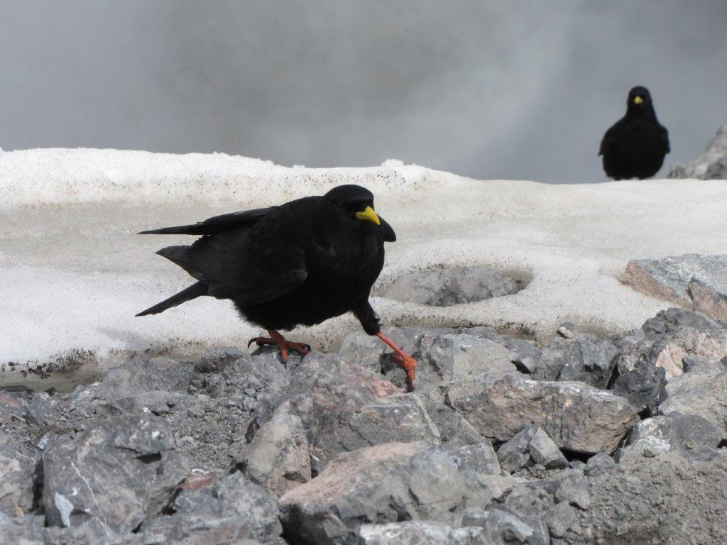
We find a shelter against the wind to have some rest and a snack. The latter activity attracts a number of alpine crows and some tomtit-like birdies. We treat them with bits of apple and take some shots.
Descending the same way.