Picos de Europa is a cozy little mountain range at the north end of the Spain on the border of three Spanish provinces – Cantabria at East, Asturia at West and Castilia and Leone – at South. The mountain range stands at a distance of 20 or so km from Atlantic ocean. To be more accurate – from Bay of Biscay, or as it is called in Spain – Cantabrian sea.
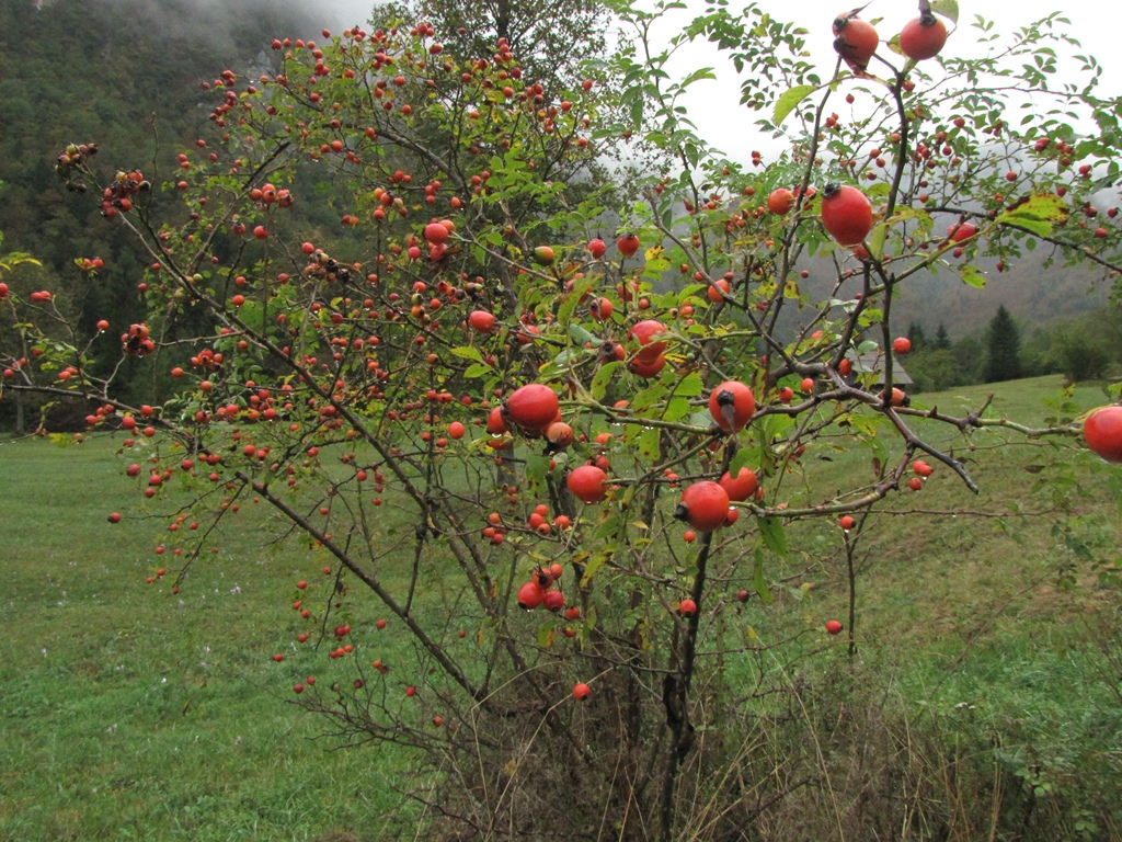
A region between the Picos de Europa and the sea is called the Green Spain, because of the mild climate. While we were there (in October) the temperature were somewhere between 10 and 25 Celsius degrees. In the South of Spain (Valensia) the temperature was about 10-15 degrees higher.
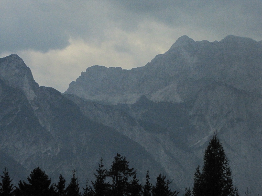
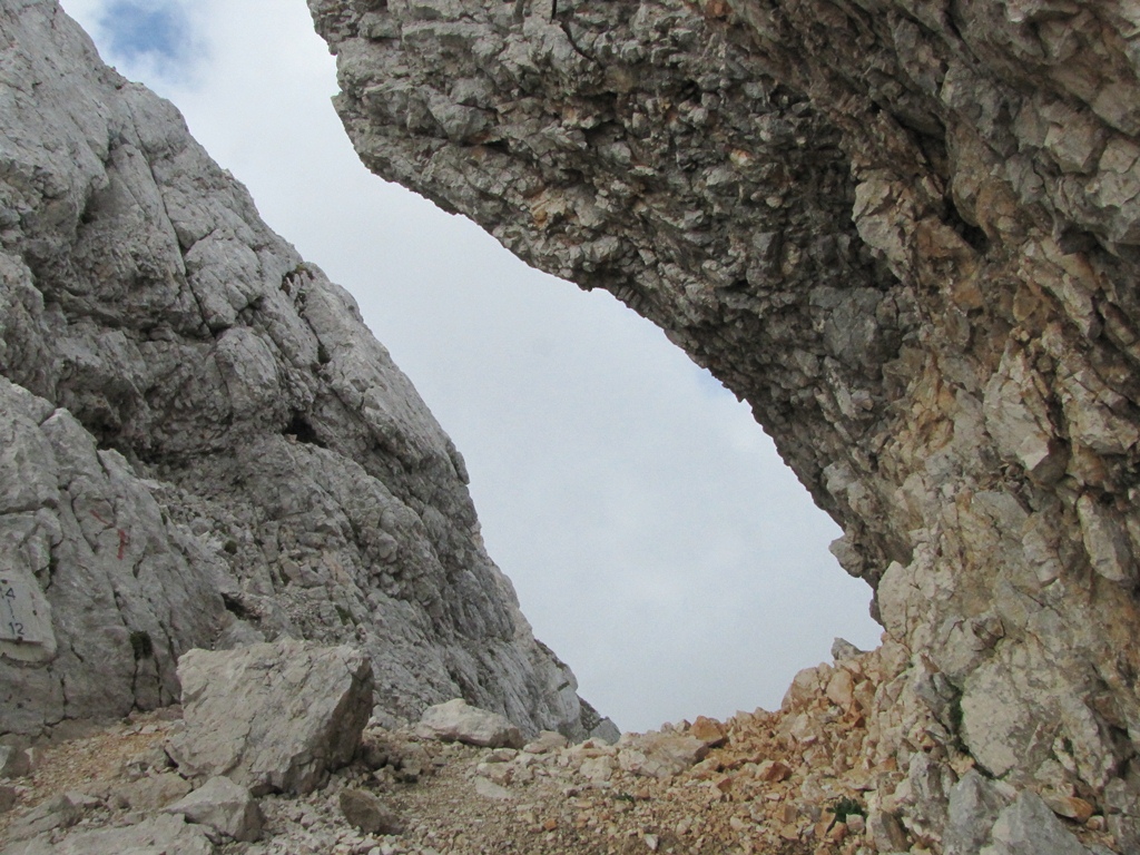
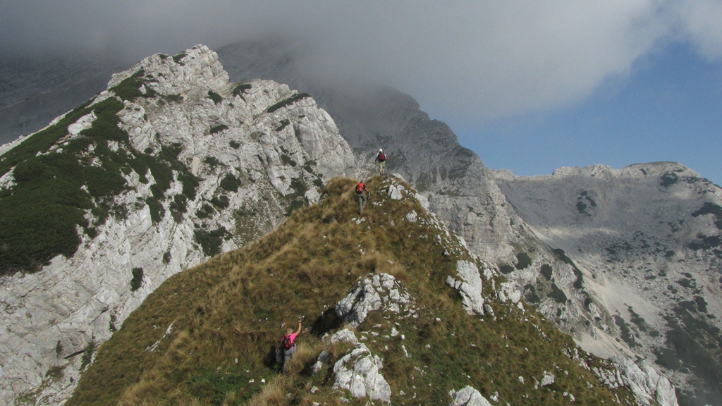
According to one of the legends the name to the mountain range was given by whalers – the mountain peaks of Picos de Europa were the first they could see when returning home. Picos de Europa consists of three major massifs – Central, Eastern and Western. The Central and Western massifs are separated by the 1.5 km deep Cares Gorge (Garganta del Cares).
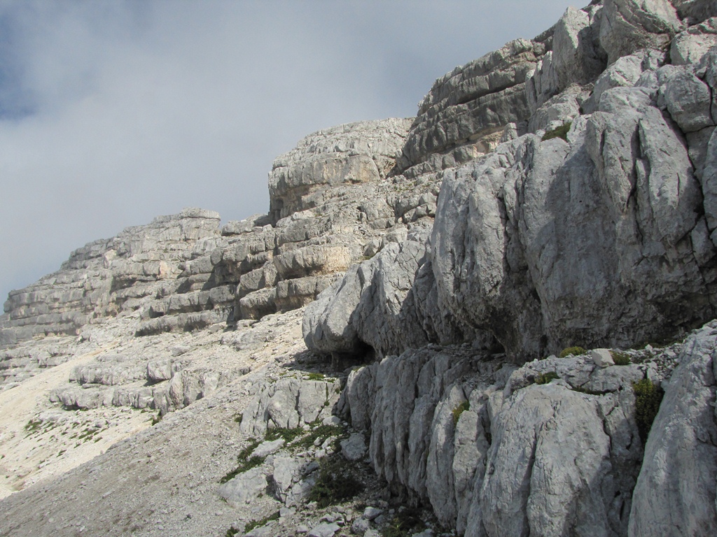
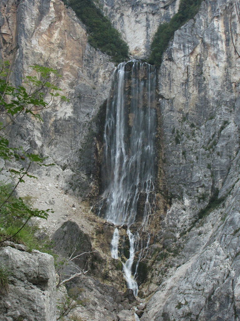
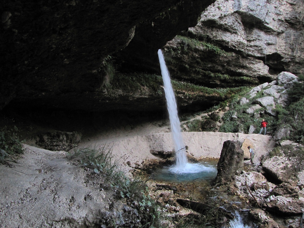
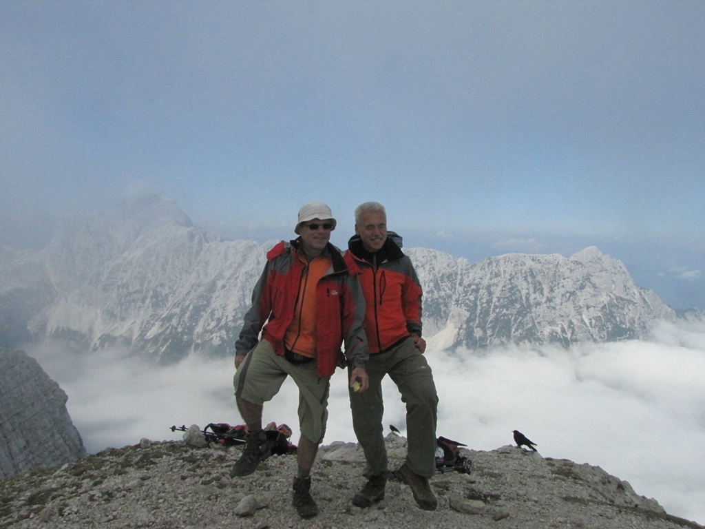
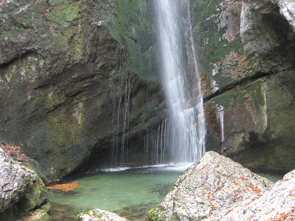
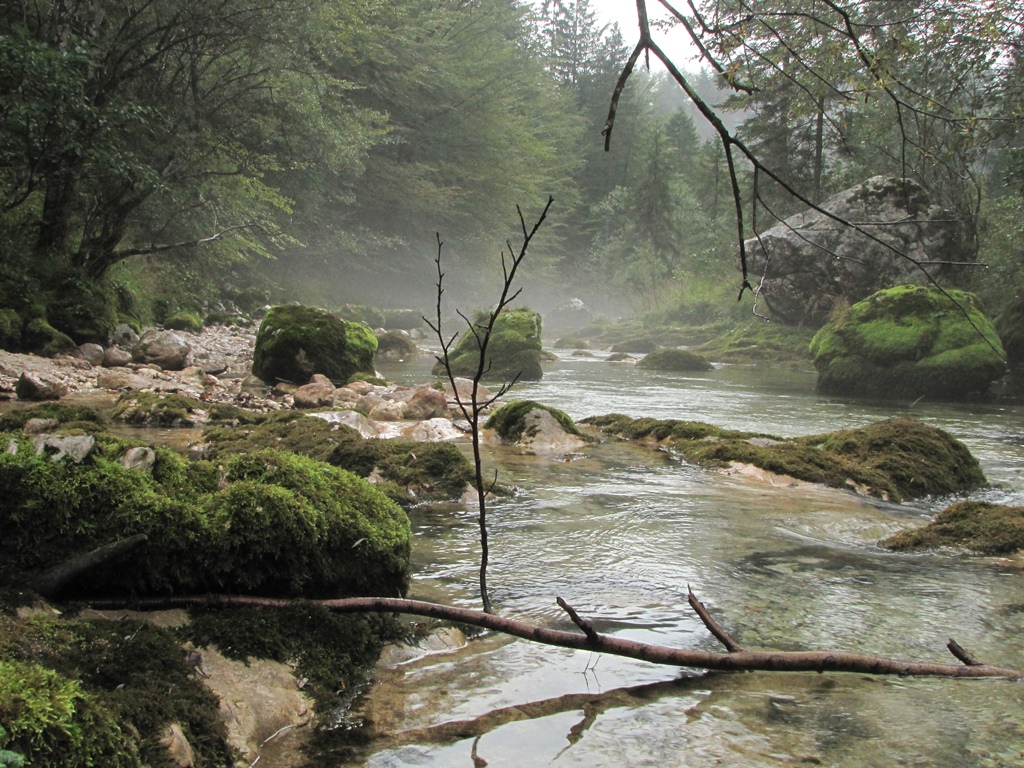
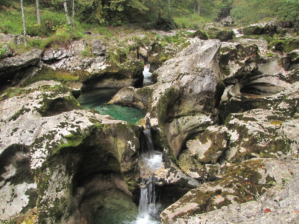
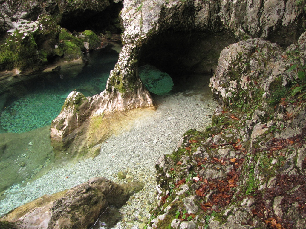
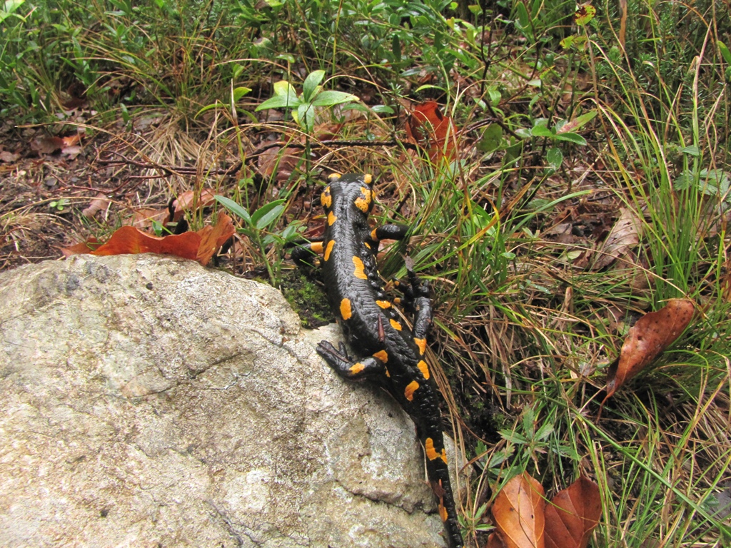
We selected Picos de Europa as the destination of our travel, in particular, because this is described as one of the few places in Spain where the wild nature has been well conserved. We decided as well that it should be cold in Pyrenees during October and we should rather go somewhere closer to the equator 🙂 As concerns the wild nature – we were not disappointed! We were surprised to find out though that Picos de Europa are closer to North than Canigou mountain and Eastern Pyrenees – the place we visited during summer. You can consult the map to make sure…
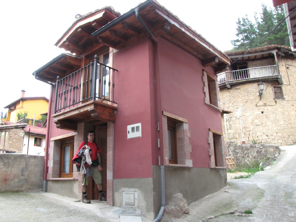
We took a Ryanair flights Riga – London (Stansted) – Santander, and return flights Santander – Frankfurt (Hahn) – Riga. We used Ryanair web page to book a car and picked it up at Santander airport. We searched one accommodation for all the time of staying (this should be less expensive). We booked a small house in village of Frama at 3km distance from tourist favorite town of Potes and about 30km distance from the Central Massif of the Picos de Europa.
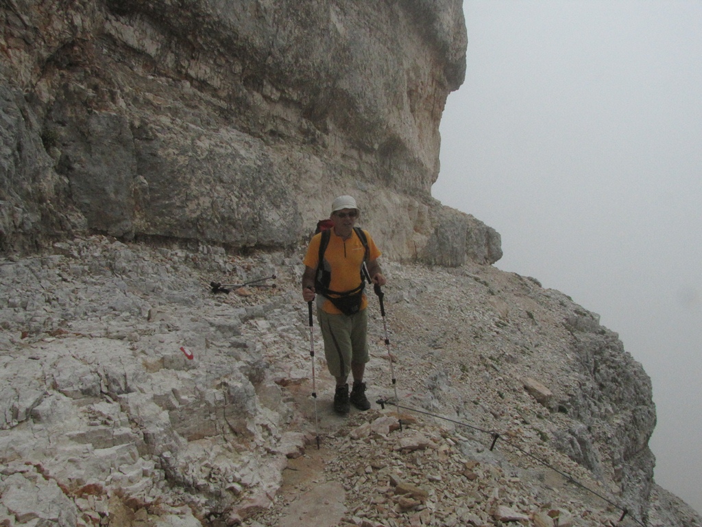
diary:
| Frama |
| San Pedro de Bedoya |
| Fuente De |
| Mirador del Tombo |
| Coriscao |
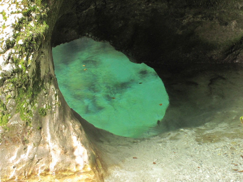
| Garganta del Cares |
| Tresviso |
| Colado de Verde |
| Cantabrian sea |
| Cuernon |