Categories
Hiking

Coriscao

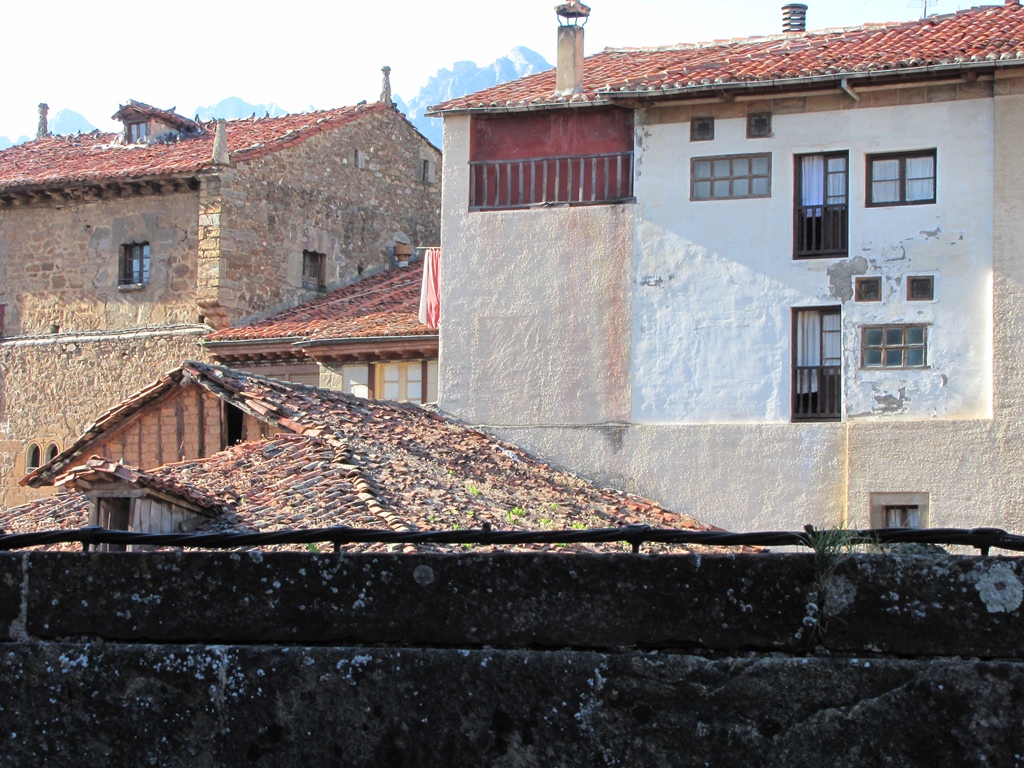
In the route book we purchased a day before in Posada de Valdeon we have found the route to Coriscao summit. The route starts on Colo de Llezba pass. We arrive there by the road to Puerto de San Glorio. The couple of cars are already parked on the pass (when we later come back the side of the road is full of parked cars at the length of some 100 meters). It is cloudy but little by little the sun whisks the clouds. It is sunny on the pass and the great weather is during all the day (when we are back in Potes in the afternoon it is 24 Celsius in the shadow).

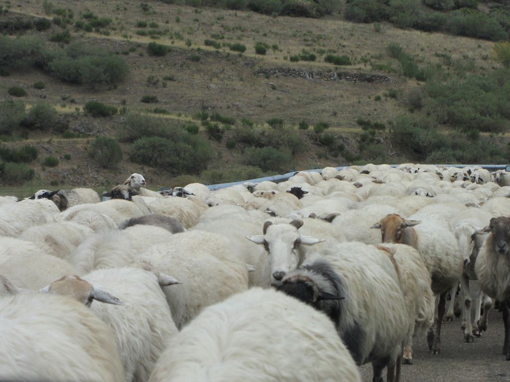
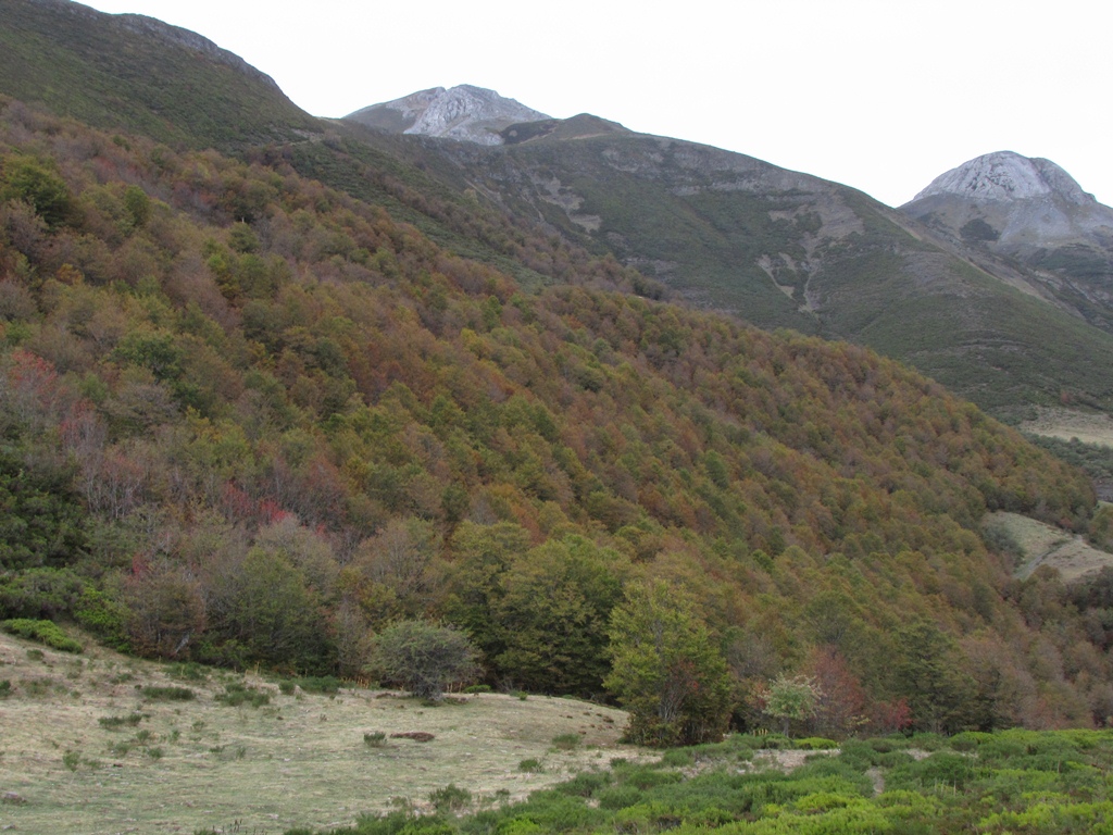
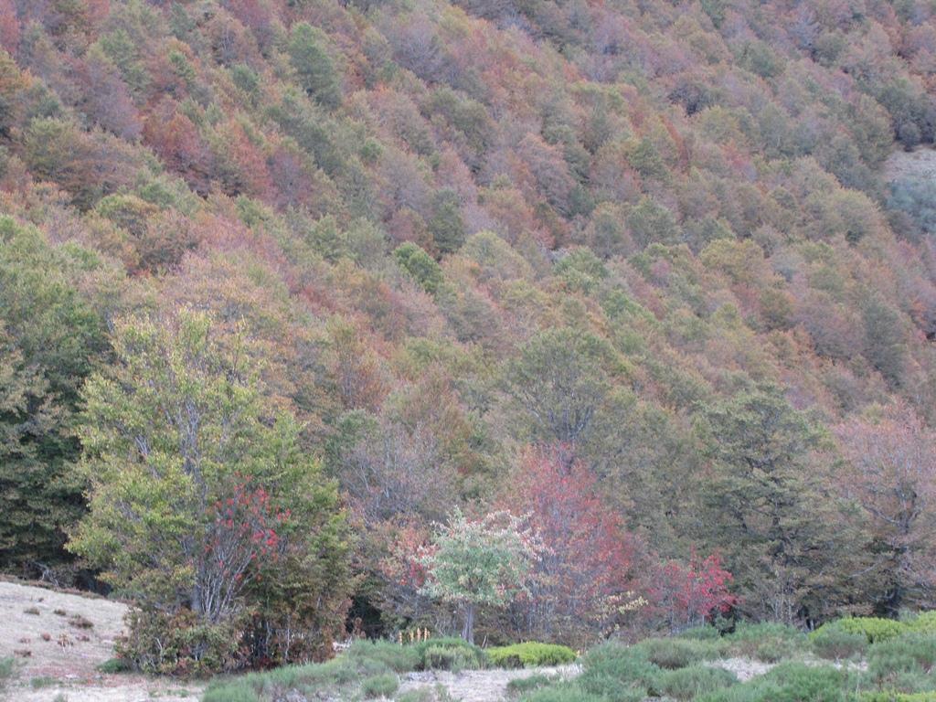
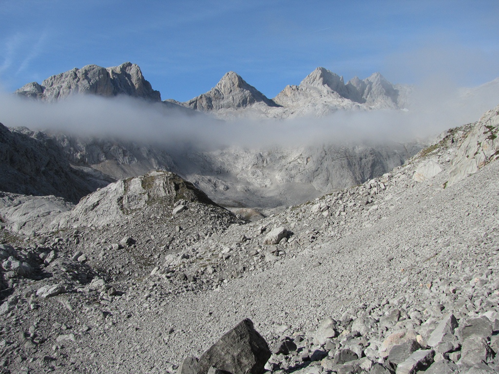
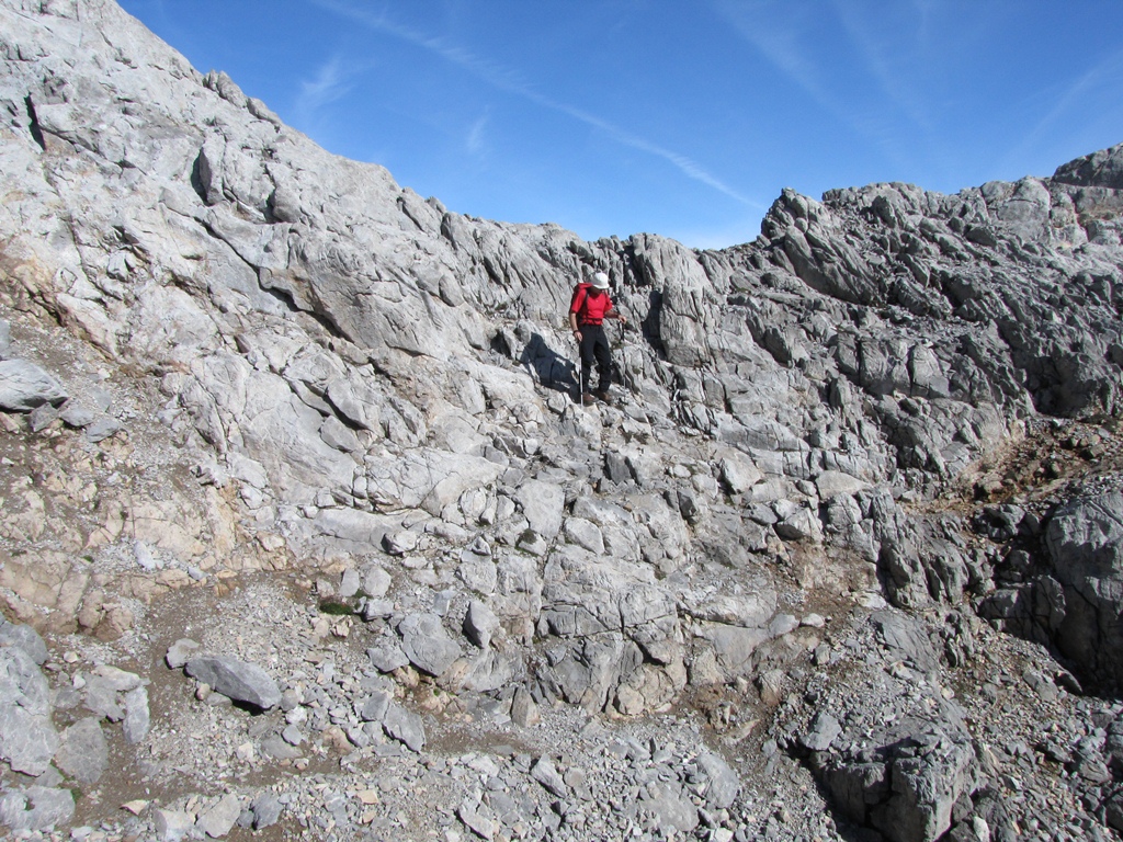
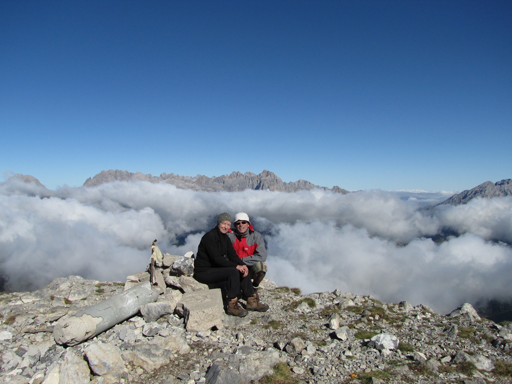
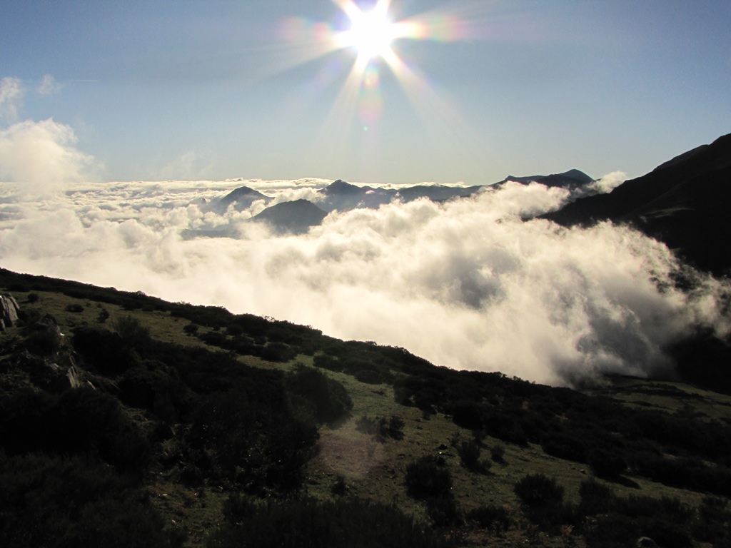
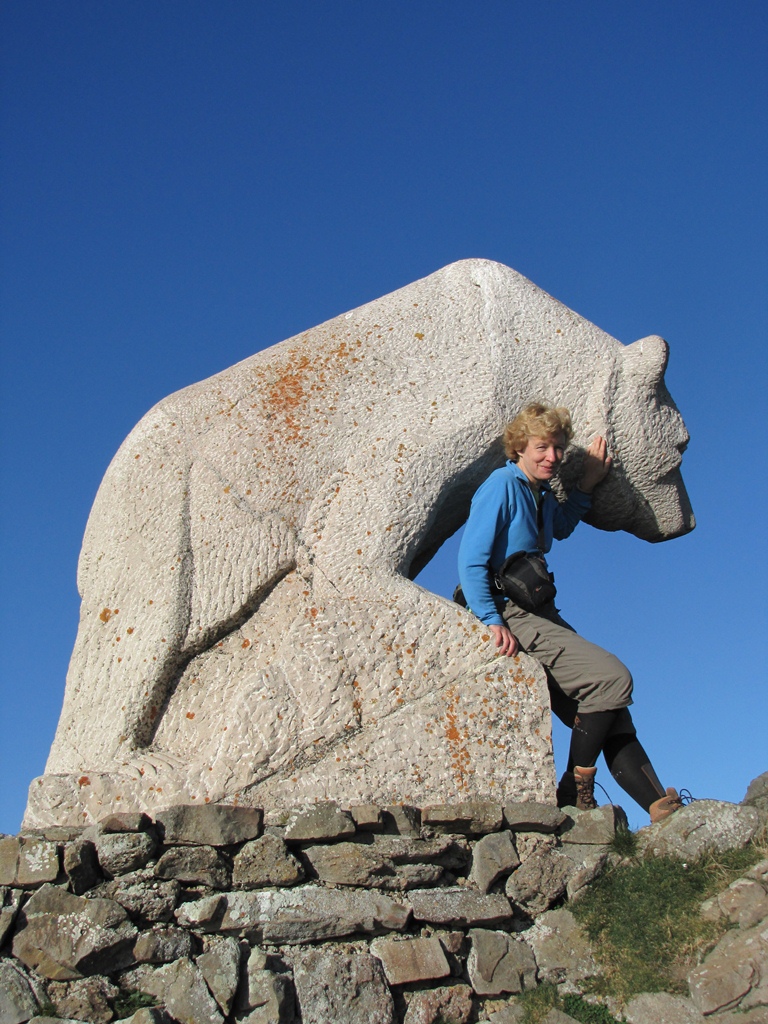
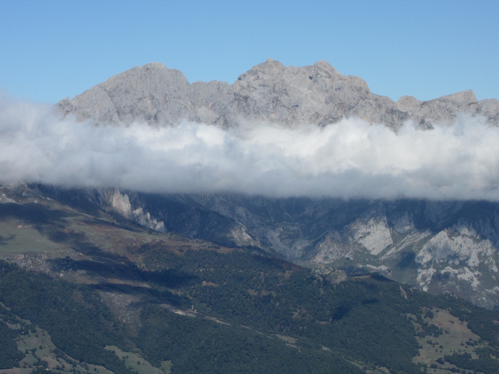
Near the pass on the hillock there is a large stone sculpture of the bear. We go to look at it closer. When we come back to the car we see the large tourist couch arriving. Hence off we go in haste to our route. We can see the Coriscao summit already from the pass – to reach it we have to climb over the ridges of the four hill. On the first one the herd of cows is being pastured by a pair of large dogs. We decide to detour slightly to make a safe distance. The path is flat and easy – through meadows, heath and low bushes. Only the last ascent is a little steeper. The view from the summit is excellent. The three Massifs of Picos de Europa spread out before you. Clouds at the bottom and summits needle out here and there.

Gradually more and more hikers accumulate on the summit and we start the way back. On the way we climb two lower summits and meet other hikers. The clouds lift little by little and the summits of Picos de Europa come to the surface in their full.

On one of the hills we watch 3 paragliders to start their flight.

To the start
Next day
Categories
Hiking

Mirador del Tombo

Today we decide to look at the Picos de Europa from the South. The route goes first to Puerto de San Glorio pass then to village of Portilla de la Reina where we take the road to the right. The cliffs around are green (mossy), trees are colored in red and yellow, rich red mountain ashes look just wonderful. Further on the way we notice cliffs full of stones. Seems like somebody has filled the soft matter of cliffs with stones and then allowed it to harden.

After a short stop to explore the cliffs in detail we follow to village of Posada de Valdeon (we must give a way to a flock of sheep that fills all the road for a couple of minutes), then about 3km to the viewpoint of Mirador del Tombo. It is there were the tourist favored gorge of Cares river (Garganta del Cares) begins. The tourist route starts a bit down the stream – near village of Cain. From the place we stand there is a gorgeous view on the summits and on the gorge. We follow the path down the stream for a couple of kilometers until we make sure that the only option to proceed is to walk by the road. This makes us decide to turn back and to explore another path we have noticed on the way to Posada de Valdeon – near the village of Prada. The path leads us up some 600m to the foothills of Monto summit. We have a light rain all the time. Still the sights around are full of color and the walk by the mountain road is pleasant.

To the start
Next day
Categories
Hiking

Fuente De

We drive early in the morning to Potes and then 23km to Fuente De. Fuente De has a pair of hotels and a funicular that takes people up to top of 800m high vertical wall of cliffs. The carriage (allows about 20 passengers) takes everybody up in 3 minutes.

While in carriage I communicate with Spanish guy who speaks English. He suggests to climb Tesorero summit – except if in fog (he says a fog here is as thick as nowhere else in the world). There are some clouds around when we get out of the carriage on the upper station. Generally it is sunny though so we decide to go for the summit. The path is wide in the beginning (it is one of favorite routes apparently). It gets narrower only after a hour of walk.
We follow the route of the Spanish guy and see how he climbs Tesorero summit. We almost manage to do the same. Unfortunately not far from the summit Ilze gets struck with the sharp pain in her leg. We must turn back and go down to the pass. While we have a rest a black bird with pink legs and beautiful yellow beak comes close to us. I treat him with bits of apple and he comes almost as close as at arm’s length.

Just before the funicular station we see a flock of goats and sheeps. Some of the goats are of interesting color (e.g. – dark brown rearward part and light brown forward part with a sharp boundary between). We get in a funicular carriage, drive down to our car and then to our home.

Funny incident with our washing machine in the evening – we do not manage to get out the wash from it. I call a hostess – she sends her farther to help. The farther does not understand a word in English. He has no more success with the washing machine as we did. I take a vocabulary and ask him about a manual. He goes for the manual and returns with a woman. With a help of the “manual” we manage at last to get our the clothes.

Download file: Fuente-de-Tesorero.gpx
To the start
Next day
Categories
Hiking

San Pedro de Bedoya

The first route starts in the nearby village of San Pedro de Bedoya. The track according to itinerary should follow the road to the nearby Salarzon village. Ilze notices the path though that should take us in the same direction. We decide to follow the path – it goes to Salarzon indeed, over the hill though. Takes 2 hours to get in Salarzon (should be 30 minutes if we had selected the road instead). Still we are not sorry about that – we have splendid views, and delicious blackberries to feast upon.

Our route proceeds to the next village – Pumareja. We follow the road though vineyards and orchards of apricots. We try both (our apologies to the owners). Our route further goes back from Pumareja to San Pedro de Bedoya.

Prior to go home we drive to explore the village of Hermida. It is a beautiful small village near the mountain stream in the Hermida gorge. At the other end of the village we discover  a grotto up on the hill with a statue and a cross inside. We decide to go back by the other side of the stream. The path goes close to the stream by the wooden plank-way. A couple of sections of the plank-way are fixed to the cliff so the stream runs below us. Near the North end of the village we find a parking place and stop there to enjoy the views on the gorge. Two wild goats pasture peacefully on the opposite bank of the stream.

Download file: San Pedro de Bedoya - Salarzon - Pumareña.gpx
To the start
Next day
Categories
Hiking

Frama

We arrive at Santander airport on 7th October 2009 at 6pm. As soon as we are out of the jet we feel the warm southern air. We take 6-gear Toyota Yaris and drive most of the way a public highway. The last section of the route is by the local road, in particular – a narrow serpentine through the 20km long gorge de Hermida.

It is dark when we arrive at Frama and we did not manage to find the house we should stay in. Driving through the narrow streets of Frama we arrive at the Church and call the hosts. The person at the other end does not understand a word in English and we did not get any closer to the place we search. Fortunately a man passes by and I show him a paper with the description of the property we are searching for. The man gets to his car and takes to our accommodation.

In no time we are there – the property has a hall on  ground floor, the small bedroom and bathroom on the first floor. Not much room there but we have everything we need for a 10 days stay – TV set, electric range, washing machine and freezer.

To the start
Next day