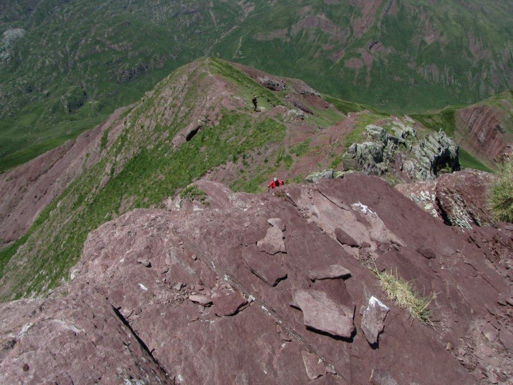
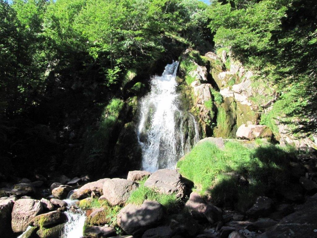
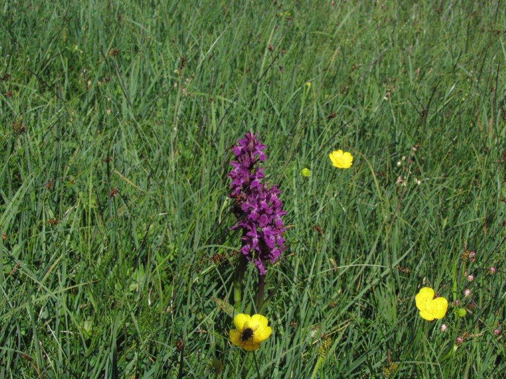
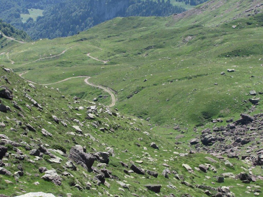
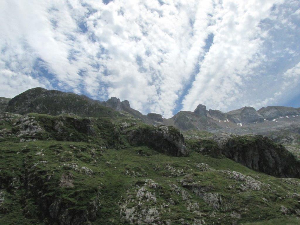
Todays route starts near the (Espelunguere) parking place close to the French end of the Somport tunnel. The last 700m of the road is a wooden road featuring large pits. The path goes steeply uphill from the very start. Soon we get to the waterfall, then to the meadow full of beautiful flowers. After a couple of hours walk we take the wrong path and climb it about half an hour before we understand we are at the wrong side of the mountain. We don’t see another option than to turn back and to find the way to the correct side. The rocks are brownish-violet here.
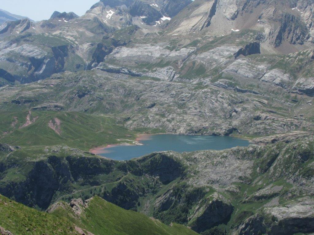
Getting on a 2019m high pass we take a short rest and then by the mountains Spanish side climb to the 2258m high Pic de Gabardaille. We enjoy the stunning views despite of the strong wind that blows here. We recognize our yesterdays Pic d’Aspe. Very beautiful is Lac d’Estaens. We discover that laying down one can save oneself from the chilling wind 🙂
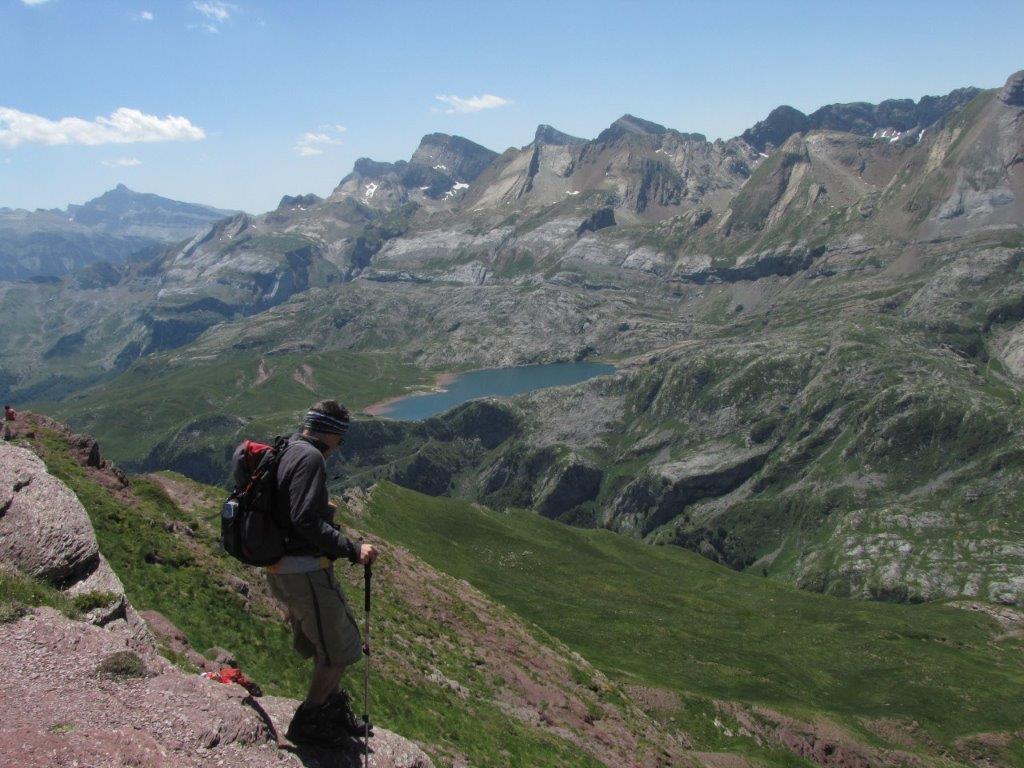
Nokļuvuši pārejā 2019m augstumā nedaudz atpūšamies un tad jau pa Spānijas pusi uzkāpjam 2258 metrus augstajā Gabardajas virsotnē (Le Pic de Gabardaille). Te pūš spēcīgs vējš, bet tas netraucē baudīt skaistos skatus. Atpazīstam arī Aspe virsotni, kur bijām uzkāpuši vakar. Ļoti skaists ir Estaens ezers (Lac d’Estaens). Izrādās, ka guļus stāvoklī no vēja var labi paslēpties 🙂
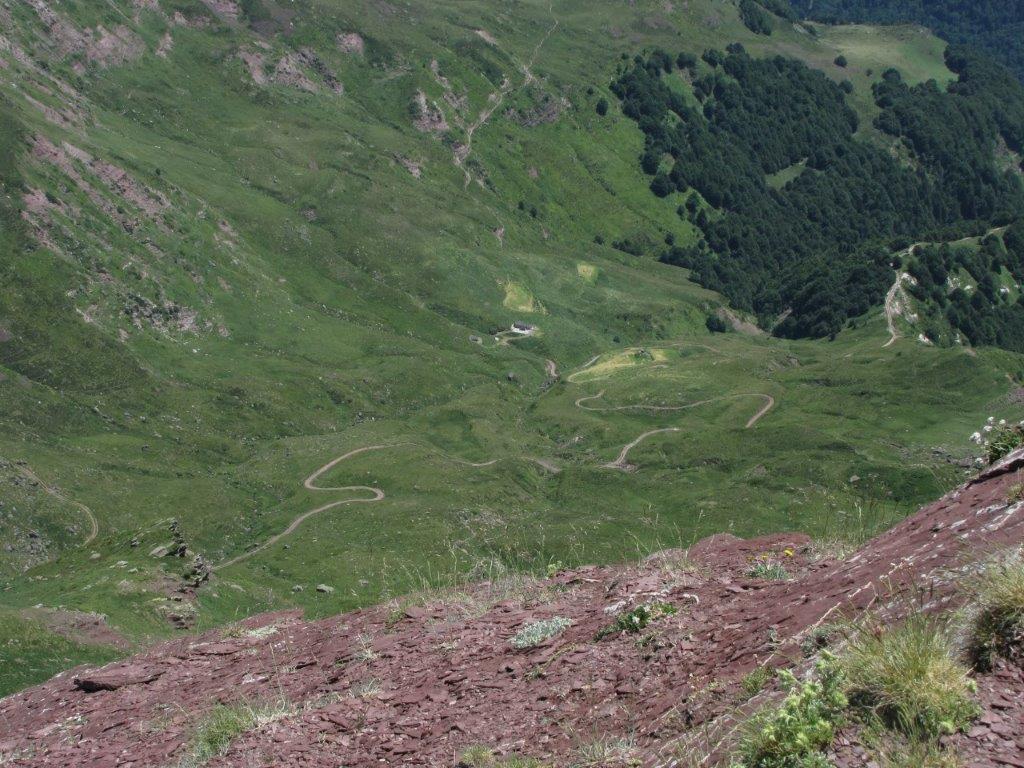
We take another side of the mountain for the descend. Having lost the path we descend just straight down. This turns into a couple of hours of adventure. Several times we have a trouble to find a way to continue 🙂
We feel relieved when we find the path at last.