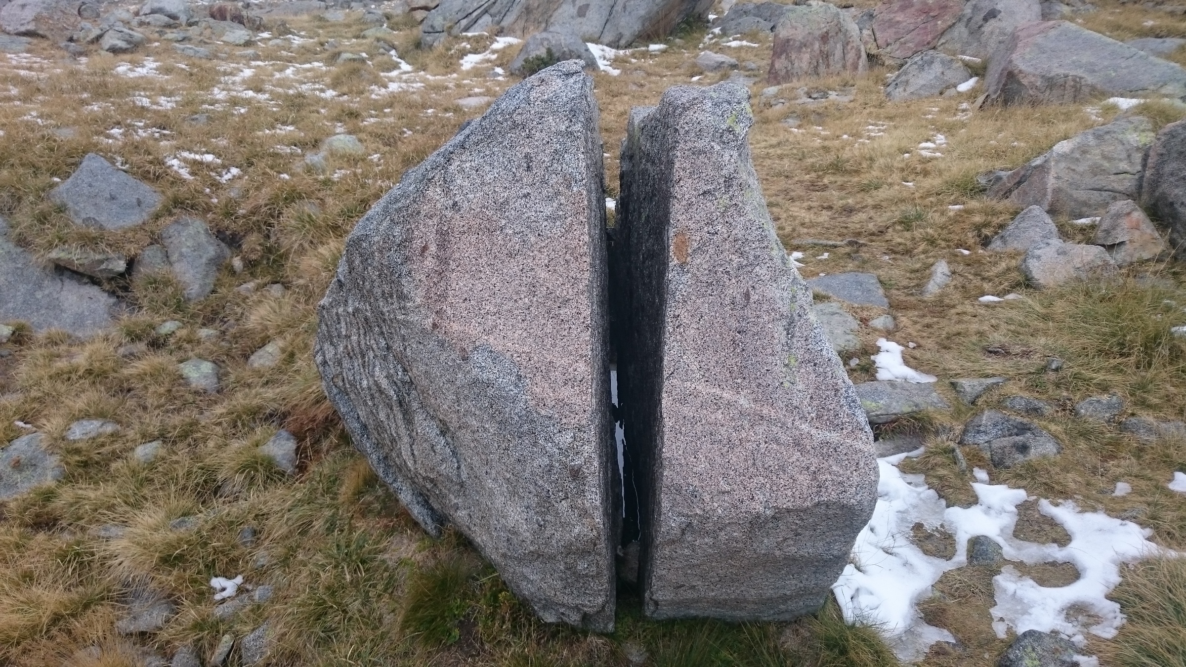
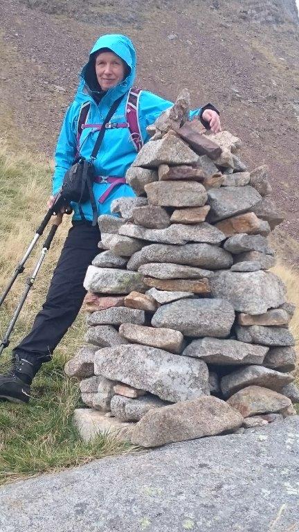
Our plan for today is to have some walk in mountains of Maladeta range. This is were the highest summit of Pyrenees Aneto (3404m) stays surrounded by ice and snow. We have no helmets nor other useful equipment to climb Aneto thus we just stroll around here.
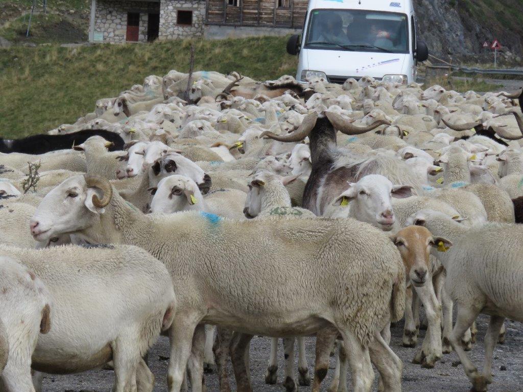
The track starts near Embalse de Llauset basin. We get there driving 10km of very bumpy road from Aneto village. The road is located more than 2km above the sea level and goes by pastures for sheep and goats. One of the sheep herds is transferred between pastures exactly by the road we are driving. Sort of a traffic jam:-)
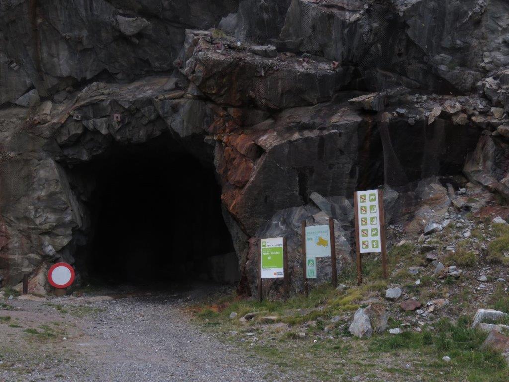
Just before the destination there are two impressive products of human creativeness. First we drive the T-shape tunnel (a subterranean crossroad). Just behind this we found the tunnel of length about 1.5km. It looks more like as a hole in the mountain and the first impression is that it would be insane to think it is something one should drive in. When emerging it (after some hesitation) it we see that people nevertheless use it for driving. It is dark here, the water drips from the above and car goes bumping. Luckily we are at the other end after some time at the small parking place near the basin.
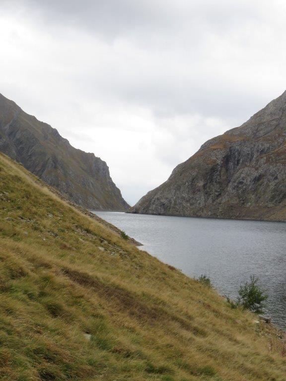
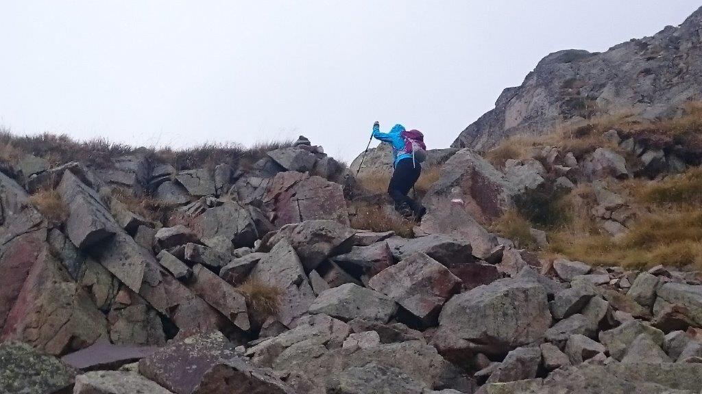
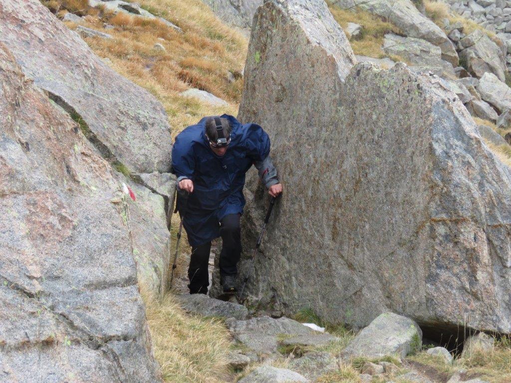
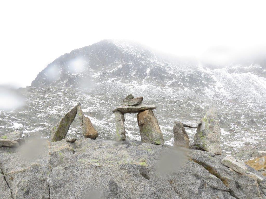
The track starts with another – pedestrian tunnel. Kind of darker then the previous one. When out of the tunnel we follow the path near the basin. The weather is cloudy and windy, snows at times. That is exactly what one needs after a day in hot sun 🙂
On a way to lake Botornes we meet a self confident marmot (first time to see one so close). Then we follow a rather rocly path to lake Estan primer de Coma Arnau. In total we walked more than 9km, height difference 400m.